Pueblo Cañon Greenbelt Trail
- 1.1 mi
- round trip
- 139 ft
- climb
- 6,759 ft
- high point
- Out and back
- route
- Apr–Jun, Aug–Oct
- best months
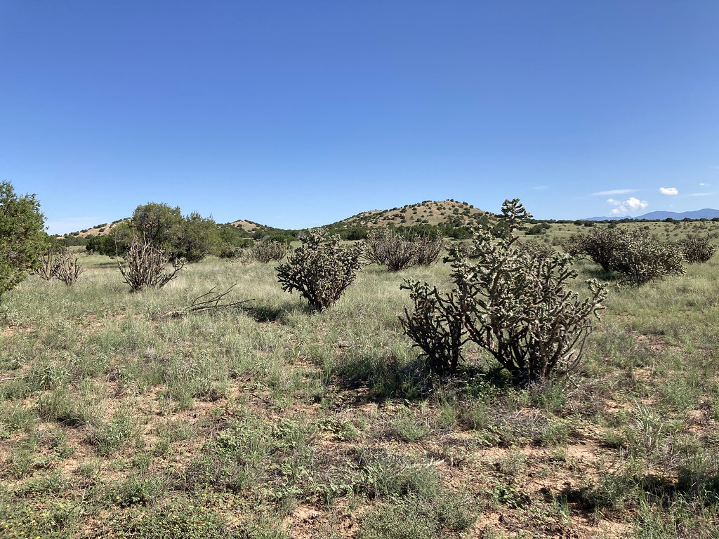
Pueblo Cañon Greenbelt Trail is an easy hike in northern New Mexico, about half a mile from the town of El Dorado. The trail is a short out-and-back, with a total round-trip distance of about 2.2 miles and a total elevation gain of about 139 feet. The climb is back-loaded, with the steepest stretch at about 0.25 miles from the start, and the trail reaches a high point of about 6,759 feet. Spring and fall are the most comfortable times to go. Typical averages from a nearby weather station in Santa Fe show May highs around 74°F and October highs around 66°F, while July and August bring the most wet days of the year. Other trails lie within a few miles, including the Arroyo Trail about 2.8 miles away and Shepherd's Trail and Eliza's Ridge Trail, each about 4.5 miles off. Climbers can find Apache Canyon (a.k.a. Grasshopper Canyon) Bouldering about 6.6 miles away.
Local outfitters
- Turquoise Trail Campground37 mi away
Not on Roamze yet. Their page has how to reach them.
- Pueblo Cañyon Greenbelt TrailHiking1 mi
- Arroyo TrailHiking2.8 mi
- Shepherd's TrailHiking4.4 mi
- Eliza's Ridge TrailHiking4.5 mi
 Arroyo de los Angeles TrailHikingPhoto: Paul and Jill, CC BY 2.0 (via Flickr)4.6 mi
- Garcia Ranch TrailHiking5.5 mi
 Spur Trail ConnectorHikingPhoto: BFS Man from Webster, TX, USA, CC BY 2.0 (via Wikimedia Commons)5.6 mi
- Apache Canyon (a.k.a. Grasshopper Canyon) BoulderingRock climbing6.6 mi
Source: Roamze catalog (indexable pages within 10 miles, PostGIS distance)
 Sphinx Loop WestHiking · ~6 min drivePhoto: Paul and Jill, CC BY 2.0 (via Flickr)
- Spur Trail ConnectorHiking · ~10 min drivePhoto: BFS Man from Webster, TX, USA, CC BY 2.0 (via Wikimedia Commons)
- BaldyHiking · ~12 min drive
- Arroyo de los Angeles TrailHiking · ~8 min drivePhoto: Paul and Jill, CC BY 2.0 (via Flickr)
 Apache Canyon TrailHiking · ~10 min drivePhoto: jimcintosh, CC BY 2.0 (via Flickr)
 South Wagon TrailHiking · ~10 min drivePhoto: Paul and Jill, CC BY 2.0 (via Flickr)
- Grasshopper Canyon TrailHiking · ~11 min drivePhoto: jimcintosh, CC BY 2.0 (via Flickr)
 Nathan's TraceHiking · ~11 min drivePhoto: Paul and Jill, CC BY 2.0 (via Flickr)
 Pueblos del Sol pathHiking · ~12 min drivePhoto: Mike Fisher from Webster, TX, USA, CC BY 2.0 (via Wikimedia Commons)
- Deer TrailHiking · ~11 min drivePhoto: jimcintosh, CC BY 2.0 (via Flickr)
Best time to visit Pueblo Cañon Greenbelt Trail
Best months: April–June and August–October. Best months have typical highs of 55–85 °F, lows of 30 °F or warmer (32 °F where the station doesn't record snow), at most one snowy day and no more than 12 wet days.
Jan
43° / 18°
4 wet
Feb
48° / 21°
4 wet
Mar
57° / 26°
4 wet
Apr
64° / 32°
4 wet
May
74° / 41°
5 wet
Jun
84° / 50°
5 wet
Jul
86° / 55°
9 wet
Aug
83° / 54°
10 wet
Sep
78° / 47°
6 wet
Oct
66° / 35°
5 wet
Nov
53° / 24°
4 wet
Dec
43° / 18°
4 wet
Typical high / low (°F) and days with rain or snow, 1991–2020. Measured at Santa Fe 2, NM, 6.2 mi away at 6,756 ft. This station doesn't record snowfall. Source: NOAA NCEI U.S. Climate Normals 1991–2020.

Map and trail data © OpenStreetMap contributors
