Penas Negras Trail (32)
- 6.6 mi
- round trip
- 1,292 ft
- climb
- 10,493 ft
- high point
- Out and back
- route
Is Penas Negras Trail (32) open right now?
Closure in the area
There's a closure order in Cuba Ranger District. It doesn't name Penas Negras Trail (32), so check the source for the area it covers.
NFSR 313 Closed Due to Washout Near NM Highway 112
Agency closure covering Cuba Ranger District · USFS · Cuba Ranger District
Road Conditions
Agency alert covering Santa Fe National Forest · USFS · Santa Fe National Forest
As of · Source: USFS · Cuba Ranger District. Agencies don't list every closure — check before you go.
Penas Negras Trail (32) is a 13.2-mile out-and-back hike in the San Pedro Parks Wilderness, part of the Cuba Ranger District of the Santa Fe National Forest in northern New Mexico. The trail is managed by the Forest Service and lies within designated wilderness, so it is a backcountry route rather than a developed one. The climb is back-loaded, with the steepest stretch at about 5.8 miles, where the grade reaches 10%. The route starts at roughly 10,485 feet and peaks at 10,493 feet, with a total gain of 1,292 feet over the course of the trip. That makes the trail a hard hike, and the round-trip distance and elevation add up to a full day on foot. The trail is close to several other routes. Rio Capulin Trail (31) is just 0.1 mile away, and Penas Negras is 0.3 mile off. Las Vacas Trail (51) and Vega Redonda are both within about 2 miles. For an overnight base, Clear Creek Campground sits about 7.5 miles away.
- Rio Capulin Trail (31)Hiking0.1 mi
- Penas NegrasHiking0.3 mi
- Las Vacas Trail (51)Hiking1.5 mi
- Vega RedondaHiking1.7 mi
- Clear Creek CgCamping7.5 mi
- Clear Creek GcgCamping7.6 mi
- Rio De Las Vacas CampgroundCamping7.6 mi
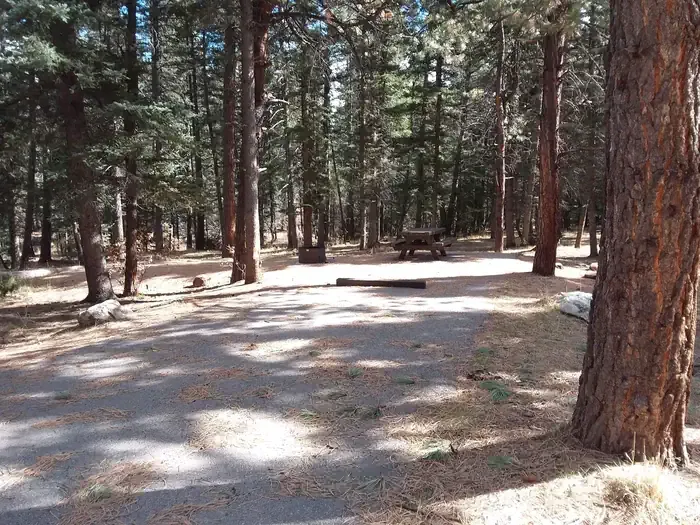 Clear Creek Campground (nm)CampingPhoto: Recreation.gov (RIDB) / public domain8.4 mi
Source: Roamze catalog (indexable pages within 10 miles, PostGIS distance)
- Penas NegrasHiking · Next door
- Vega RedondaHiking · ~3 min drive
- CorralitosHiking · ~5 min drive
- Penas Negras Trail (32)Hiking · Next door
- Old Cecelia TrailHiking · ~3 min drive
- LuceroHiking · ~5 min drive
- Las Vacas Trail (51)Hiking · ~3 min drive
- Rio Puerco Trail 385Hiking · ~4 min drive
- PerchasHiking · ~6 min drive
- Highline Trail (385)Hiking · ~3 min drive
Map and trail data © OpenStreetMap contributors
