Highline Trail (385)
- 2.1 mi
- round trip
- 851 ft
- climb
- 10,481 ft
- high point
- Out and back
- route
Is Highline Trail (385) open right now?
Alert in the area
The Forest Service lists an alert for Santa Fe National Forest.
Road Conditions
Agency alert covering Santa Fe National Forest · USFS · Santa Fe National Forest
As of · Source: USFS · Santa Fe National Forest. Agencies don't list every closure — check before you go.
Highline Trail (385) is a 4.3-mile out-and-back hike in the San Pedro Parks Wilderness, part of the Coyote Ranger District of the Santa Fe National Forest in northern New Mexico. The trail starts at about 9,967 feet and climbs to a high point of 10,481 feet, with a total elevation gain of 851 feet over the round trip. The route is rated easy, and the climb is rolling, with the steepest stretch at about 0.29 miles in, where the grade reaches 16%. The trail lies within designated wilderness, and the Forest Service manages the surrounding land. Vega Redonda and the Rio Puerco Trail 385 both sit within half a mile, and Corralitos is about 1.2 miles away. For an overnight stay, Rio De Las Vacas Campground is roughly 7.5 miles off.
- Vega RedondaHiking0.3 mi
- Rio Puerco Trail 385Hiking0.5 mi
- CorralitosHiking1.2 mi
- Penas NegrasHiking1.8 mi
- Rio De Las Vacas CampgroundCamping7.5 mi
- Clear Creek CgCamping7.7 mi
- Clear Creek GcgCamping7.8 mi
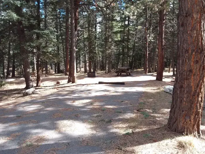 Clear Creek Campground (nm)CampingPhoto: Recreation.gov (RIDB) / public domain8.3 mi
Source: Roamze catalog (indexable pages within 10 miles, PostGIS distance)
- Vega RedondaHiking · Next door
- CorralitosHiking · ~2 min drive
- Penas NegrasHiking · ~3 min drive
- Rio Puerco Trail 385Hiking · Next door
- Penas Negras Trail (32)Hiking · ~3 min drive
- Corralitos TrailHiking · ~3 min drive
- PalomasHiking · ~7 min drive
- Rio Capulin Trail (31)Hiking · ~3 min drive
- Rio PuercoHiking · ~4 min drive
- PinabetalHiking · ~8 min drive
Map and trail data © OpenStreetMap contributors
