Penas Negras Trail (32)
- 0.6 mi
- round trip
- 128 ft
- climb
- 10,454 ft
- high point
- Out and back
- route
Is Penas Negras Trail (32) open right now?
Closure in the area
There's a closure order in Cuba Ranger District. It doesn't name Penas Negras Trail (32), so check the source for the area it covers.
NFSR 313 Closed Due to Washout Near NM Highway 112
Agency closure covering Cuba Ranger District · USFS · Cuba Ranger District
Road Conditions
Agency alert covering Santa Fe National Forest · USFS · Santa Fe National Forest
As of · Source: USFS · Cuba Ranger District. Agencies don't list every closure — check before you go.
Penas Negras Trail (32) is a short, easy out-and-back hike in the San Pedro Parks Wilderness, part of the Cuba Ranger District of the Santa Fe National Forest in northern New Mexico. The trail is about a mile long, with a low point of 10,307 feet and a high of 10,454 feet, and it gains about 130 feet of elevation over the course of the round trip. The Forest Service manages the land, and the trail lies within designated wilderness, so it is a compact outing that fits easily into a day of exploring the surrounding network of trails. The route is short enough to do quickly, and its gentle climb makes it a straightforward choice for a brief walk in the high country. Several other trails sit close by. Rio Capulin Trail (31) is about half a mile away, and Penas Negras and Las Vacas Trail (51) are each within about a mile. For an overnight stay, Clear Creek Campground is roughly 7.5 miles off.
- Rio Capulin Trail (31)Hiking0.5 mi
- Penas NegrasHiking0.8 mi
- Las Vacas Trail (51)Hiking1 mi
- Old Cecelia TrailHiking2.1 mi
- Clear Creek CgCamping7.5 mi
- Clear Creek GcgCamping7.6 mi
- Rio De Las Vacas CampgroundCamping7.7 mi
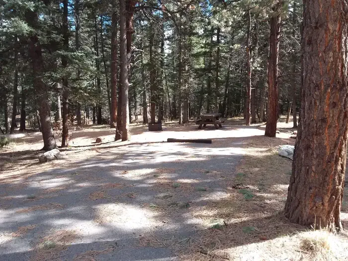 Clear Creek Campground (nm)CampingPhoto: Recreation.gov (RIDB) / public domain8.5 mi
Source: Roamze catalog (indexable pages within 10 miles, PostGIS distance)
 Cdt - New Mexico SectionHiking · ~24 min drivePhoto: John Fowler from Placitas, NM, USA, CC BY 2.0 (via Wikimedia Commons)
- Penas Negras Trail (32)Hiking · Next door
- Old Cecelia TrailHiking · ~4 min drive
- Penas NegrasHiking · ~1 min drive
- Rio Capulin Trail (31)Hiking · Next door
- Vega RedondaHiking · ~4 min drive
- Las Vacas Trail (51)Hiking · ~2 min drive
- LuceroHiking · ~4 min drive
- Upper GallinaHiking · ~5 min drive
- AnastacioHiking · ~4 min drive
Map and trail data © OpenStreetMap contributors
