Animas Divide Trail (117)
- 10.3 mi
- round trip
- 4,500 ft
- climb
- 9,944 ft
- high point
- Out and back
- route
Is Animas Divide Trail (117) open right now?
Closure in the area
There's a closure order in Gila National Forest. It doesn't name Animas Divide Trail (117), so check the source for the area it covers.
Beaverhead Water Non-Potable
Agency closure covering Gila National Forest · USFS · Gila National Forest
Harmful algae detected in Lake Roberts
Agency alert covering Gila National Forest · USFS · Gila National Forest
Potentially Dangerous Animal Encounters
Agency alert covering Gila National Forest · USFS · Gila National Forest
As of · Source: USFS · Gila National Forest. Agencies don't list every closure — check before you go.
Animas Divide Trail (117) is a 10.3-mile out-and-back hike in the Aldo Leopold Wilderness, part of the Black Range Ranger District of Gila National Forest in New Mexico. The route climbs from a low point of 7,368 feet to a high of 9,944 feet, with a total elevation gain of about 4,500 feet. The Forest Service manages the land, and the trail is rated expert. The climb is long and steep. The round-trip distance is about 20.6 miles, and the high point sits well above 9,900 feet. The trail starts close to two other routes: Ash Creek Trail #307 is about 0.1 mile away, and Hermosa Trail is about 0.4 mile away. For a longer outing, Kingston Campground is about 7.6 miles off, and Iron Creek Campground is about 9.9 miles away.
Local outfitters
- Silver City RV Park37 mi away
Not on Roamze yet. Their page has how to reach them.
- Ash Creek Trail #307Hiking0.1 mi
- Hermosa TrailHiking0.4 mi
 CoffeeHikingPhoto: Patrick Alexander from Las Cruces, NM, CC0 (via Wikimedia Commons)4.2 mi
- Victorio Park Trail #794Hiking4.7 mi
- Sids Prong Trail #121Hiking5.3 mi
- Kingston CampgroundCamping7.6 mi
- Percha Creek, HillsboroRock climbing9.7 mi
- Iron Creek CampgroundCamping9.9 mi
Source: Roamze catalog (indexable pages within 10 miles, PostGIS distance)
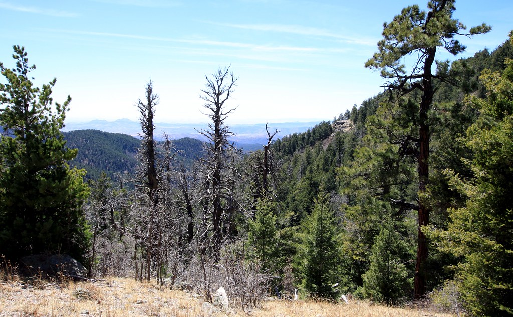 Old Mineral CreekHiking · ~11 min drivePhoto: uıɐɾ ʞ ʇɐɯɐs, CC BY-SA 2.0 (via Flickr)
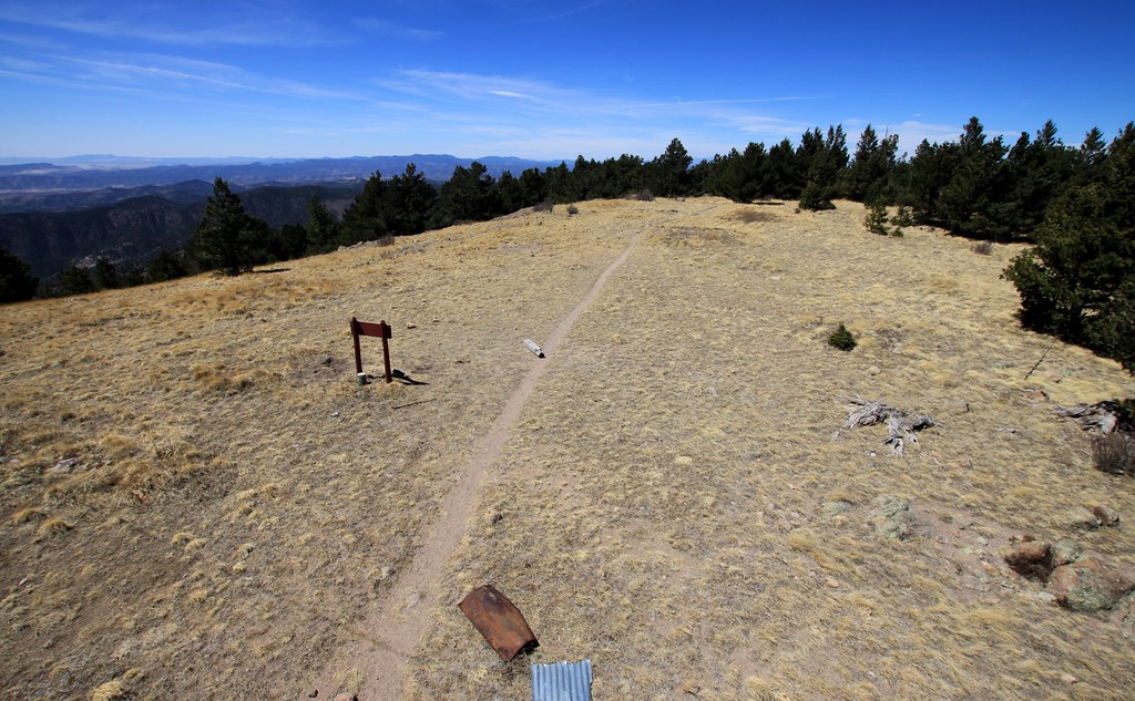 Cdt JovHiking · ~11 min drivePhoto: uıɐɾ ʞ ʇɐɯɐs, CC BY-SA 2.0 (via Flickr)
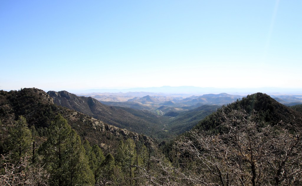 Scenic TrailHiking · ~15 min drivePhoto: uıɐɾ ʞ ʇɐɯɐs, CC BY-SA 2.0 (via Flickr)
- Holden Prong Trail #114Hiking · ~13 min drive
 Ladrone Gulch Trail #127Hiking · ~11 min drivePhoto: uıɐɾ ʞ ʇɐɯɐs, CC BY-SA 2.0 (via Flickr)
- Hillsboro Peak Bypass Trail #412Hiking · ~11 min drivePhoto: uıɐɾ ʞ ʇɐɯɐs, CC BY-SA 2.0 (via Flickr)
- Hermosa TrailHiking · ~5 min drive
- Lake Trail #110Hiking · ~14 min drive
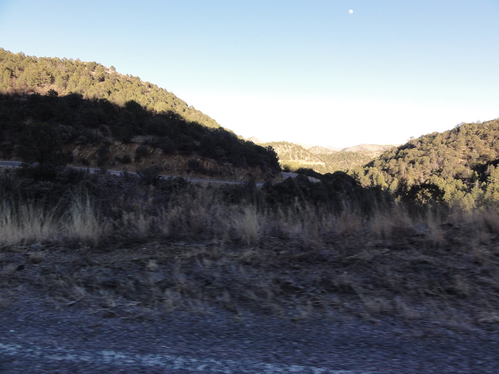 SCENIC TRAILHiking · ~15 min drivePhoto: ossguy, CC BY-SA 2.0 (via Flickr)
 IronHiking · ~13 min drivePhoto: ossguy, CC BY-SA 2.0 (via Flickr)

Route details
- Distance
- 10.3 mi round trip
- Climbing
- About 4,500 ft
- Summit
- 10,017 ft
- Difficulty
- Expert
Other routes up Hillsboro
Questions about this route
How long is the Animas Divide Trail (117) on Hillsboro?
About 10.3 mi round trip.
How much elevation gain is on the Animas Divide Trail (117)?
About 4,500 ft of climbing round trip.
How hard is the Animas Divide Trail (117)?
It is rated expert.
How many routes go up Hillsboro?
3: Cdt Jov, Animas Divide Trail (117) and Black Range Crest Trail #79.
Conditions and forecast on Hillsboro
Daily highs and lows, wind and the chance of precipitation at the summit and route start for the next 7 days, from the Open-Meteo model.
Map and trail data © OpenStreetMap contributors
