

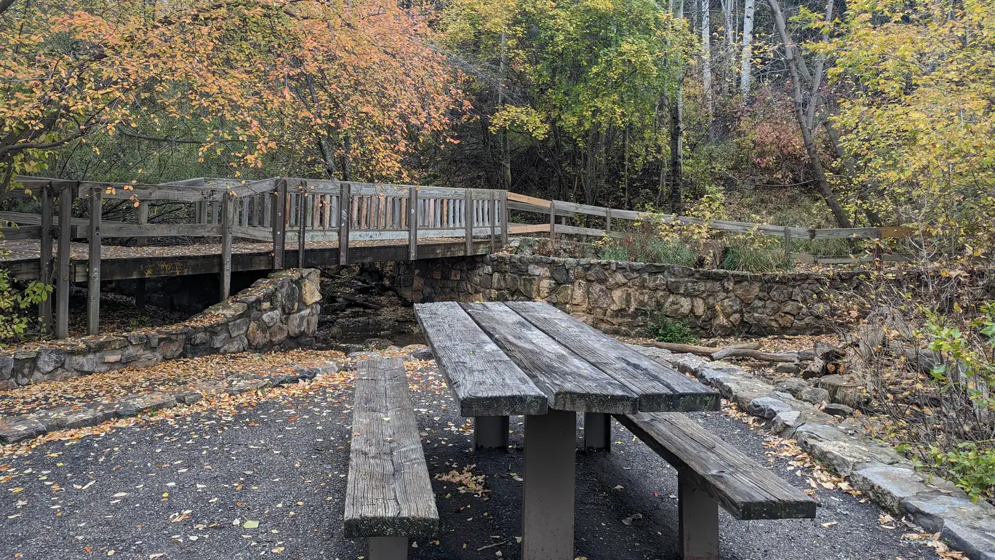
Turquoise Trail Campground
Hiking business nearby (~8 mi away) — hasn't claimed their Roamze page yet
Free — you'll pick up right here.
Watch this trail
Sign up to watch it — saving subscribes you to gate, closure and report changes.
New Mexico
14.1 mi
Distance
4,216 ft
Gain
We won't guess. Here is exactly what we do and don't know.
What we do know
Inside Cibola National Forest
2 managing-area boundaries mapped — agency alerts for them feed this page automatically.
Boundary data
What's missing
No access route mapped
We don't yet know which road reaches this trailhead, so we can't tell you if it's gated.
Nobody's filed a report here yet — be the first.
Why you'll love it
La Luz
AI-suggested draft · review before you go
No permit or access details on file for this trail — check with the local land manager before you go.
La Luz Trail is a strenuous ascent gaining over 4,200 feet while traversing 14+ miles through the foothills and slopes of the Sandia Mountains. This classic New Mexico hike rewards climbers with dramatic elevation gain and expansive views of the Albuquerque area and surrounding landscape. The trail features a mix of forested sections and open ridgeline terrain, making it a challenging but iconic summit experience.
Piedra Lisa
~0 min drive
Easy 1.28-mile high desert trail near Piedra Lisa with 343 ft elevation gain.
Sandy Arroyo
~1 min drive
Easy desert wash walk through sandy terrain near Sandy Arroyo.
Piedra Lisa South Trail
~1 min drive
Steep 1.4-mile climb with 1,200 ft elevation gain in New Mexico.
Juan Tabo Canyon
~2 min drive
Easy canyon hike through piñon-juniper woodland with seasonal stream.
Ccc Road
~1 min drive
Easy 1.83-mile trail with 303 ft elevation gain near Ccc Road.
Challenge
~4 min drive
Moderately strenuous 12.69-mile loop with steady elevation gain through high country.
Old La Luz (137B)
~1 min drive
Steep 0.94-mile climb with 1,093 ft elevation gain near Old La Luz.
Switchback
~3 min drive
A moderate 3.17-mile hike with switchbacks and 471 ft elevation gain.
Drinking Fountain
~1 min drive
Steep 1.13-mile climb gaining 685 ft near Drinking Fountain, NM.
Chimney Canyon Route
~2 min drive
Steep 1.5-mile canyon route with 2,691 ft elevation gain.
Local operatorsoffering guided trips. You book directly with them — Roamze doesn’t take a cut.
Turquoise Trail Campground
Hiking business nearby (~8 mi away) — hasn't claimed their Roamze page yet