Campbell Scout Ranch
Campground
Campground · 4.8 mi from the trail
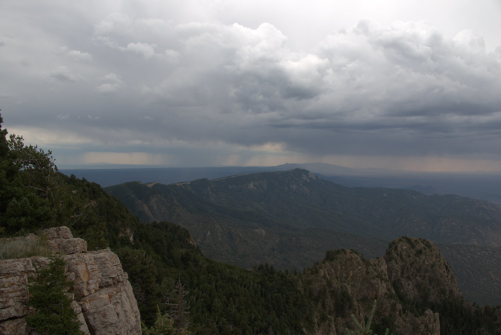 Photo: Ktr101, CC BY-SA 2.0 (via Flickr)
Closure in the area
There's a closure order in Sandia Ranger District. It doesn't name Kiwanis Meadow Trail, so check the source for the area it covers (3 listed).
Area Closure for Recreation Residence Structures and Property at 91 Casa Loma Road
Agency closure covering Sandia Ranger District · Order 03-03-05-26-14 · USFS · Sandia Ranger District
Area Closure for Recreation Residence Structures and Property at 69 Casa Loma Road
Agency closure covering Sandia Ranger District · Order 03-03-05-26-13 · USFS · Sandia Ranger District
Area Closure for Sandia Crest “Switchback” Hazard Tree and Fuel Reduction Project
Agency closure covering Sandia Ranger District · Order 03-03-05-26-02 · USFS · Sandia Ranger District
Sandia Ranger District Road & Area Closure for National Forest Road 462 Maintenance
Agency alert covering Sandia Ranger District · Order 03-03-05-26-24 · USFS · Sandia Ranger District
Mountainair and Sandia Ranger Districts Stage 1 Fire Restriction Lifted
Agency alert covering Sandia Ranger District · Order 03-03-00-26-20 · USFS · Sandia Ranger District
As of · Source: USFS · Sandia Ranger District. Agencies don't list every closure — check before you go.
Kiwanis Meadow Trail is a short, easy hike in the Sandia Ranger District of Cibola National Forest in New Mexico, managed by the Forest Service. The trail is about 0.2 miles long and rises about 50 feet from a low point of 10,325 feet to a high of 10,385 feet, making it a quick out-and-back. The trail sits among a cluster of cross-country ski routes, with Gravel Pit Trail, Switchback Trail and South Crest Trail all about 0.1 mile away. Climbers will find Yucca Flower Tower roughly 0.4 mile off.
Campbell Scout Ranch
Campground
 If it rainsJim Legans, Jr from Albuquerque, New Mexico, CC BY 2.0 · Wikimedia Commons
Folk art museum in Sandia Park, New Mexico
Places © OpenStreetMap contributors · Photos: Jim Legans, Jr from Albuquerque, New Mexico, CC BY 2.0 (commons)
More in Santo Domingo PuebloNot on Roamze yet. Their page has how to reach them.
 Yucca Flower TowerRock climbingPhoto: Ktr101, CC BY-SA 2.0 (via Flickr)0.4 miBush Shark AreaRock climbingPhoto: Ktr101, CC BY-SA 2.0 (via Flickr)0.4 mi
 Echo CanyonRock climbingPhoto: Ktr101, CC BY-SA 2.0 (via Flickr)0.4 mi
Source: Roamze catalog (indexable pages within 10 miles, PostGIS distance)
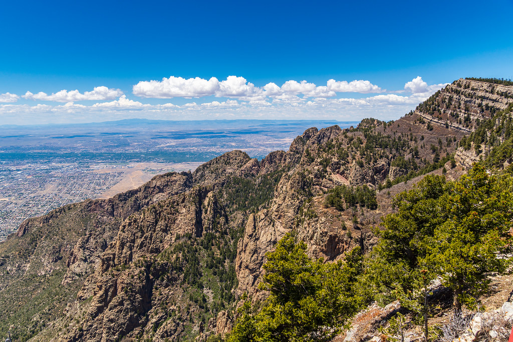 Rocky PointHiking · Next doorPhoto: dconvertini, CC BY-SA 2.0 (via Flickr)10K Trail NorthHiking · Next doorPhoto: Ktr101, CC BY-SA 2.0 (via Flickr)
 North Crest TrailHiking · ~1 min drivePhoto: dconvertini, CC BY-SA 2.0 (via Flickr)
 Domingo BacaHiking · ~2 min drivePhoto: Ktr101, CC BY-SA 2.0 (via Flickr)
 Kiwanis Cabin TrailHiking · Next doorPhoto: _jmeeter — CC BY-SA 2.0 (via Flickr)Double Eagle Trail (23)Hiking · Next doorPhoto: Ktr101, CC BY-SA 2.0 (via Flickr)ChallengeHiking · Next doorPhoto: dconvertini, CC BY-SA 2.0 (via Flickr)Crest Spur TrailHiking · Next doorPhoto: dconvertini, CC BY-SA 2.0 (via Flickr)
 Ellis TrailHiking · Next doorPhoto: dconvertini, CC BY-SA 2.0 (via Flickr)
Map and trail data © OpenStreetMap contributors
