Jones Canyon Trail
- 19.9 mi
- round trip
- 2,086 ft
- climb
- 7,370 ft
- high point
- Out and back
- route
- Apr–May, Sep–Oct
- best months
Jones Canyon Trail is a hard hike on Bureau of Land Management land in western New Mexico, within the Rio Puerco Field Office of the BLM. It is a long out-and-back route of about 40 miles, with a total elevation gain of 2,086 feet. The trail starts at roughly 6,590 feet and climbs to a high point of 7,370 feet. The most comfortable months for a visit are typically late spring and early fall. Typical averages from a nearby weather station at Torreon Navajo Mission, about 7 miles away, run from highs near 77°F in May to highs near 80°F in September, while July and August average around 90°F and bring the most wet days of the year. Two other routes lie close by. Cdt is about 0.2 miles away, and Piedra Lumbre Road is also about 0.2 miles away. For time on the water, the Rio Puerco offers canoeing about 7 miles from the trail.
- CdtHiking0.2 mi
- Piedra Lumbre RoadHiking0.2 mi
 Rio PuercoCanoeingPhoto: John Phelan, CC BY 3.0 (via Wikimedia Commons)6.8 mi
Source: Roamze catalog (indexable pages within 10 miles, PostGIS distance)
 Cdt - New Mexico SectionHiking · ~28 min drivePhoto: John Fowler from Placitas, NM, USA, CC BY 2.0 (via Wikimedia Commons)
 White Mesa Bike TrailHiking · ~32 min drivePhoto: Matt Lavin, CC BY-SA 2.0 (via Flickr)
 East ForkHiking · ~43 min drivePhoto: RuggyBearLA, CC BY 2.0 (via Flickr)
 Canyon TapiaHiking · ~29 min drivePhoto: bspencer505, CC BY 3.0 (via Wikimedia Commons)
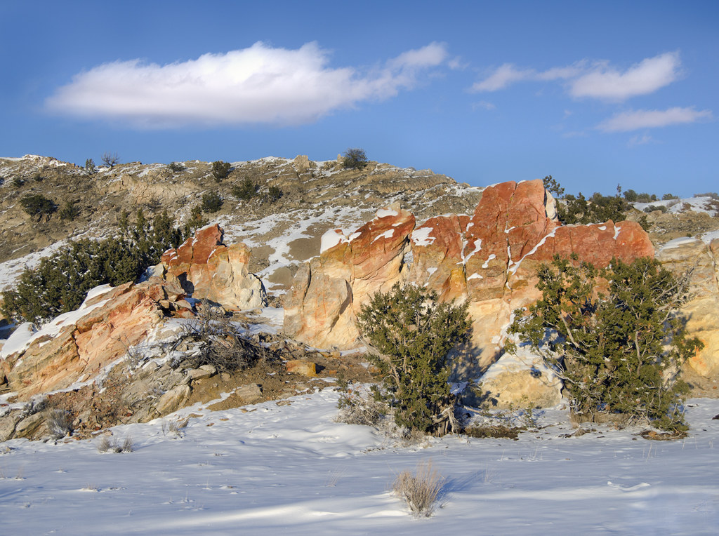 Dragon's Back TrailHiking · ~37 min drivePhoto: snowpeak, CC BY 2.0 (via Flickr)
- CdtHiking · Next door
 Ojito Wilderness TrailHiking · ~31 min drivePhoto: John Fowler from Placitas, NM, USA, CC BY 2.0 (via Wikimedia Commons)
 Monastery TrailHiking · ~37 min drivePhoto: RuggyBearLA, CC BY-SA 2.0 (via Flickr)
- Cdt - New Mexico SectionHiking · ~39 min drive
- Lookout LoopHiking · ~32 min drivePhoto: John Fowler from Placitas, NM, USA, CC BY 2.0 (via Wikimedia Commons)
Best time to visit Jones Canyon Trail
Best months: April–May and September–October. Best months have typical highs of 55–85 °F, lows of 30 °F or warmer (32 °F where the station doesn't record snow), at most one snowy day and no more than 12 wet days.
Jan
44° / 17°
4 wet · 3 snow
Feb
50° / 21°
4 wet · 2 snow
Mar
60° / 26°
4 wet · 1 snow
Apr
68° / 32°
3 wet · 1 snow
May
77° / 41°
4 wet
Jun
88° / 50°
3 wet
Jul
90° / 57°
7 wet
Aug
87° / 55°
8 wet
Sep
80° / 48°
6 wet
Oct
69° / 35°
4 wet
Nov
55° / 25°
3 wet · 1 snow
Dec
44° / 17°
4 wet · 2 snow
Typical high / low (°F) and days with rain or snow, 1991–2020. Measured at Torreon Navajo Mission, NM, 7 mi away at 6,700 ft. The station sits about 700 ft lower than this place, so expect it a little cooler here. Source: NOAA NCEI U.S. Climate Normals 1991–2020.

Map and trail data © OpenStreetMap contributors
