White Mesa Bike Trail
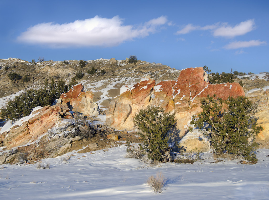
 Photo: Matt Lavin, CC BY-SA 2.0 (via Flickr)
- 4.4 mi
- round trip
- 1,552 ft
- climb
- 6,027 ft
- high point
- Out and back
- route
- Apr–May, Sep–Oct
- best months
White Mesa Bike Trail is a 4.4-mile moderate hike on Bureau of Land Management land within the Ojito Area of Critical Environmental Concern in northern New Mexico. The route is an out-and-back that climbs from about 5,560 feet to a high point of 6,027 feet, with a total elevation gain of 1,552 feet over the round trip. The steepest stretch comes early, around the 1-mile mark, where the grade reaches about 13%. Spring and fall are the most comfortable times to go. Typical averages from the nearby Jemez Springs weather station show May highs around 76°F and October highs around 70°F, while July and August average highs near 89°F with more wet days. The trip takes about 3.5 hours. Pothole Canyon and Chunk Suey Descent, both mountain biking routes, sit about a mile and a half away. Red Mesa 10A, a hike, and Red Mesa 10, a mountain biking route, are each about 2 miles off.
Local outfitters
- Turquoise Trail Campground39 mi away
Not on Roamze yet. Their page has how to reach them.
- Pothole CanyonMountain biking1.5 mi
- Chunk Suey DescentMountain biking1.6 mi
- Evacuation LineMountain biking1.9 mi
- Stairway to HellMountain biking1.9 mi
- TronMountain biking1.9 mi
- Red Mesa 10AHiking2.1 mi
- Red Mesa 10Mountain biking2.1 mi
- The Iron HandMountain biking2.2 mi
Source: Roamze catalog (indexable pages within 10 miles, PostGIS distance)
 Evacuation LineHiking · ~3 min drivePhoto: lns1122, CC BY 2.0 (via Flickr)
 Dragon's Back TrailHiking · ~5 min drivePhoto: snowpeak, CC BY 2.0 (via Flickr)
- The Iron HandHiking · ~4 min drivePhoto: lns1122, CC BY 2.0 (via Flickr)
- Tres CaballosHiking · ~24 min drive
- Red Line RidgeHiking · ~4 min drivePhoto: lns1122, CC BY 2.0 (via Flickr)
- Cabezon Peak TrailHiking · ~25 min drive
 Perea Nature TrailHiking · ~7 min drivePhoto: Alexander Hatley, CC BY 2.0 (via Flickr)
 Seismosaurus TrailHiking · ~8 min drivePhoto: John Fowler from Placitas, NM, USA, CC BY 2.0 (via Wikimedia Commons)
- Lookout LoopHiking · ~9 min drivePhoto: John Fowler from Placitas, NM, USA, CC BY 2.0 (via Wikimedia Commons)
- Ojito Wilderness TrailHiking · ~9 min drivePhoto: John Fowler from Placitas, NM, USA, CC BY 2.0 (via Wikimedia Commons)
Best time to visit White Mesa Bike Trail
Best months: April–May and September–October. Best months have typical highs of 55–85 °F, lows of 30 °F or warmer (32 °F where the station doesn't record snow), at most one snowy day and no more than 12 wet days.
Jan
48° / 19°
4 wet
Feb
52° / 22°
4 wet
Mar
60° / 28°
4 wet
Apr
67° / 33°
3 wet
May
76° / 41°
3 wet
Jun
87° / 50°
4 wet
Jul
89° / 55°
9 wet
Aug
86° / 54°
9 wet
Sep
80° / 47°
6 wet
Oct
70° / 36°
4 wet
Nov
56° / 26°
4 wet
Dec
47° / 19°
4 wet
Typical high / low (°F) and days with rain or snow, 1991–2020. Measured at Jemez Springs, NM, 18.6 mi away at 6,262 ft. This station doesn't record snowfall. Source: NOAA NCEI U.S. Climate Normals 1991–2020.

Map and trail data © OpenStreetMap contributors
