Junebug Campground
Campground
Campground · 3.6 mi from the trail
Alert in the area
The Forest Service lists 3 alerts for Carson National Forest.
High-Elevation Snow Conditions
Agency alert covering Carson National Forest · USFS · Carson National Forest
Current Prescribed Fire Activity and Plans
Agency alert covering Carson National Forest · USFS · Carson National Forest
Current Fire Restrictions and Related Prohibitions
Agency alert covering Carson National Forest · USFS · Carson National Forest
As of · Source: USFS · Carson National Forest. Agencies don't list every closure — check before you go.
Goose Creek Trail #65 is a 12.1-mile out-and-back hike in the Questa Ranger District of Carson National Forest in northern New Mexico. The trail starts at about 8,850 feet and climbs to a high point of 12,126 feet, with a total elevation gain of 4,016 feet over the course of the round trip. The route is rated expert, and the steepest stretch comes at about 5.4 miles in, where the grade reaches 41 percent. The trip takes about six hours, and the climb is rolling rather than a single, continuous ascent. The trail is a long, high route, so plan for a full day on foot. Old Pass Trail lies just 0.3 miles away, and the Goose Creek hike is about 0.6 miles off. Farther out, the 4th of July Canyon hike is about 1.4 miles away, and Junebug Campground is about 3.6 miles away for an overnight base.
Junebug Campground
Campground
Dairy Bar
Restaurant
 If it rainsKhlnmusa, CC BY-SA 3.0 · Wikimedia Commons
Places © OpenStreetMap contributors · Photos: Khlnmusa, CC BY-SA 3.0 (commons)
More in Arroyo SecoNot on Roamze yet. Their page has how to reach them.
 Red RiverCanoeingPhoto: Billy Hathorn at en.wikipedia, CC BY-SA 3.0 (via Wikimedia Commons)7.3 mi
Source: Roamze catalog (indexable pages within 10 miles, PostGIS distance)
 Gold Hill Trail #64Hiking · ~9 min drivePhoto: uıɐɾ ʞ ʇɐɯɐs, CC BY-SA 2.0 (via Flickr)
 Middle Fork Trail (487)Hiking · ~10 min drivePhoto: wadeferd, CC BY 2.0 (via Flickr)
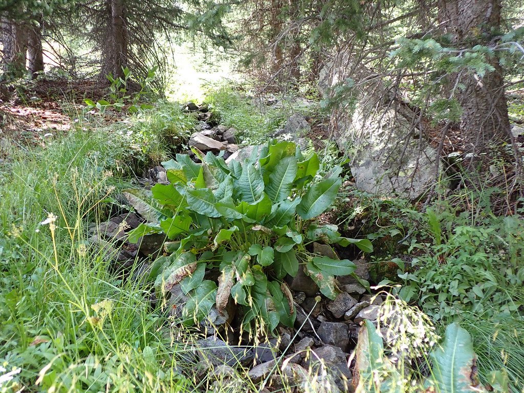 MidnightHiking · ~14 min drivePhoto: Matt Lavin, CC BY-SA 2.0 (via Flickr)
 Lake ForkHiking · ~14 min drivePhoto: Matt Lavin, CC BY-SA 2.0 (via Flickr)
 Wheeler Peak Trail #90Hiking · ~9 min drivePhoto: Fredlyfish4, CC BY-SA 4.0 (via Wikimedia Commons)WHEELER PEAK/BULL OF THE WOODSHiking · ~12 min drivePhoto: Fredlyfish4, CC BY-SA 4.0 (via Wikimedia Commons)
 Willams LakeHiking · ~14 min drivePhoto: Matt Lavin, CC BY-SA 2.0 (via Flickr)Lost Lake Trail #91Hiking · ~10 min drivePhoto: Fredlyfish4, CC BY-SA 4.0 (via Wikimedia Commons)
Map and trail data © OpenStreetMap contributors
