Atalaya
 Photo: Bryan Ungard from Santa Fe, New Mexico, USA, CC BY-SA 2.0 (via Wikimedia Commons)
- 4.7 mi
- round trip
- 1,452 ft
- climb
- 9,127 ft
- high point
- Out and back
- route
- May–Oct
- best months
Is Atalaya open right now?
Alert in the area
The Forest Service lists an alert for Espanola Ranger District.
Headquarters Well Area Closure on Española Ranger District
Agency alert covering Espanola Ranger District · Order 03-10-06-25-17 · USFS · Espanola Ranger District
As of · Source: USFS · Espanola Ranger District. Agencies don't list every closure — check before you go.
Atalaya is a moderate out-and-back hike in the Espanola Ranger District of New Mexico, about 4.7 miles long with a one-way elevation gain of 1,452 feet. The trail starts at the Atalaya - Upper Trailhead and climbs from a low point of 7,677 feet to a high of 9,127 feet. The route is on natural surface and allows bikes, so it works for both hikers and mountain bikers. The Atalaya Trail (170) for mountain biking sits just 0.1 mile away, and the Hard Atalaya Trail (172) is 0.4 mile off. The St. John's hike is 0.3 mile away, and the Dorothy Stewart Trail is 0.7 mile away. Summer is the most comfortable time to go. Typical averages from the Gascon weather station, about 29 miles away, show July highs near 76°F with lows around 47°F, while winter brings highs in the mid-40s and regular snow days from December through February. The trail is open from April 15 through October 31. Black Canyon (New) Campground is about 5 miles away, and the Santa Fe Area climbing area is about 7 miles away.
Local outfitters
- Turquoise Trail Campground45 mi away
Not on Roamze yet. Their page has how to reach them.
Best time to go · May–Oct
Best time to visit Atalaya
Best months: May–October. Best months have typical highs of 55–85 °F, lows of 30 °F or warmer (32 °F where the station doesn't record snow), at most one snowy day and no more than 12 wet days.
Jan
44° / 18°
5 wet · 5 snow
Feb
45° / 20°
5 wet · 5 snow
Mar
51° / 24°
6 wet · 5 snow
Apr
57° / 29°
6 wet · 3 snow
May
65° / 36°
6 wet · 1 snow
Jun
75° / 43°
7 wet
Jul
76° / 47°
12 wet
Aug
74° / 46°
12 wet
Sep
69° / 41°
7 wet
Oct
61° / 32°
5 wet · 1 snow
Nov
52° / 24°
4 wet · 3 snow
Dec
44° / 18°
4 wet · 4 snow
Typical high / low (°F) and days with rain or snow, 1991–2020. Measured at Gascon, NM, 29.4 mi away at 8,250 ft. The station sits about 900 ft lower than this place, so expect it a little cooler here. Source: NOAA NCEI U.S. Climate Normals 1991–2020.
Keep exploring — more trails worth the drive
 Photo: BFS Man from Webster, TX, USA, CC BY 2.0 (via Wikimedia Commons)
St. John's
Next door
1.26-mile out-and-back trail in New Mexico with 337 ft elevation gain.
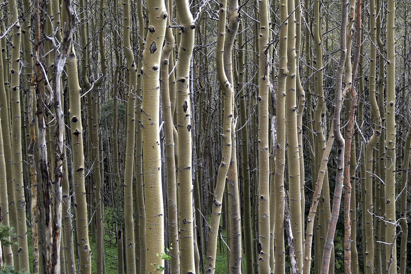 Photo: awsheffield, CC BY 2.0 (via Flickr)
Galbaldon Trail
~9 min drive
2.72-mile out-and-back trail in New Mexico with 1,515 ft elevation gain and loss.
HIKE
Baldy
~6 min drive
12.60-mile out-and-back trail in New Mexico with 2,677 ft elevation gain.
Photo: BFS Man from Webster, TX, USA, CC BY 2.0 (via Wikimedia Commons)Dorothy Stewart Trail
~1 min drive
1.08-mile out-and-back hike in New Mexico with 351 ft elevation gain
Photo: awsheffield, CC BY 2.0 (via Flickr)West Circle Trail
~9 min drive
4.3-mile out-and-back trail in New Mexico with 1,874 ft elevation gain and loss.
 Photo: Lars Plougmann, CC BY-SA 2.0 (via Flickr)
St John's Arroyo Trail
~1 min drive
4.1-mile out-and-back trail in New Mexico with 534 ft elevation gain.
HIKE
Picacho Peak Trail
~2 min drive
1.75-mile out-and-back hike to Picacho Peak with 1,604 ft gain in New Mexico.
 Photo: Matt Lavin, CC BY-SA 2.0 (via Flickr)
Bear Canyon Trail
~2 min drive
2.3-mile out-and-back hike in New Mexico with 803 ft gain/loss.
HIKE
Sun Mountain Trail
~3 min drive
1.6-mile out-and-back trail in New Mexico with 849 ft gain and 7,925 ft max elevation.
 Photo: KathyKnorr - Santa Fe - New Mexico, CC BY-SA 2.0 (via Flickr)
Ann Nitze Hiking Trail
~4 min drive
0.62-mile out-and-back hike with 212 ft elevation gain in New Mexico.
Route details
- Distance
- 4.7 mi round trip
- Climbing
- About 1,452 ft
- Starts at
- Atalaya - Upper Trailhead (about 7,677 ft)
- Summit
- 9,130 ft
- Difficulty
- Moderate
Questions about this route
How long is the Atalaya on Atalaya Mountain?
About 4.7 mi round trip from Atalaya - Upper Trailhead (about 7,677 ft).
How much elevation gain is on the Atalaya?
About 1,452 ft of climbing round trip.
How hard is the Atalaya?
It is rated moderate.
Where does the Atalaya start?
Atalaya - Upper Trailhead (about 7,677 ft).
Conditions and forecast on Atalaya Mountain
Daily highs and lows, wind and the chance of precipitation at the summit and route start for the next 7 days, from the Open-Meteo model.
