Gallinas Canyon Trail #129
- 2.0 mi
- round trip
- 927 ft
- climb
- 8,959 ft
- high point
- Out and back
- route
Is Gallinas Canyon Trail #129 open right now?
Closure in the area
There's a closure order in Gila National Forest. It doesn't name Gallinas Canyon Trail #129, so check the source for the area it covers.
Beaverhead Water Non-Potable
Agency closure covering Gila National Forest · USFS · Gila National Forest
Harmful algae detected in Lake Roberts
Agency alert covering Gila National Forest · USFS · Gila National Forest
Potentially Dangerous Animal Encounters
Agency alert covering Gila National Forest · USFS · Gila National Forest
As of · Source: USFS · Gila National Forest. Agencies don't list every closure — check before you go.
Gallinas Canyon Trail #129 is a 4-mile out-and-back hike in Gila National Forest, New Mexico, on Forest Service land. It is a moderate route with about 927 feet of elevation gain from the trail's low point of 8,024 feet to its high of 8,959 feet. The trail is roughly 2 miles long on the ground, and the round trip adds up to about 4 miles. The climb is the hike's defining feature, with the trail rising steadily over the course of the walk. The high point of 8,959 feet sits near the top, and the route is best suited to those prepared for a steady climb over a few hours on foot. Several other trails lie within a short drive. East Canyon Trail #93 is about 1.3 miles away, and Railroad Canyon Trail #128 and Holden Prong Trail #114 are each about 1.8 miles off. For an overnight stay, Iron Creek Campground is about 4.7 miles from the trail.
Local outfitters
- Silver City RV Park29 mi away
- Burro Mountain Homestead RV Park43 mi away
Not on Roamze yet. Their page has how to reach them.
- East Canyon Trail #93Hiking1.3 mi
- Railroad Canyon Trail #128Hiking1.8 mi
- Holden Prong Trail #114Hiking1.8 mi
- Black Range Crest Trail #79Hiking2.5 mi
- Rabb Park Trail #747Hiking3 mi
- East RailroadHiking3.2 mi
- Iron Creek CampgroundCamping4.7 mi
- Kingston CampgroundCamping8.7 mi
Source: Roamze catalog (indexable pages within 10 miles, PostGIS distance)
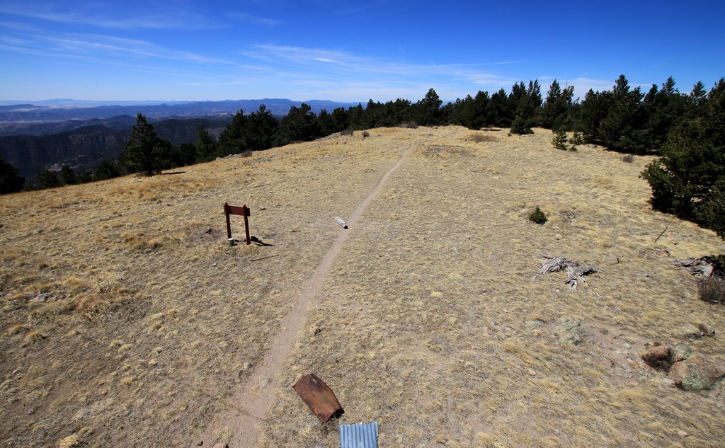 Cdt JovHiking · ~6 min drivePhoto: uıɐɾ ʞ ʇɐɯɐs, CC BY-SA 2.0 (via Flickr)
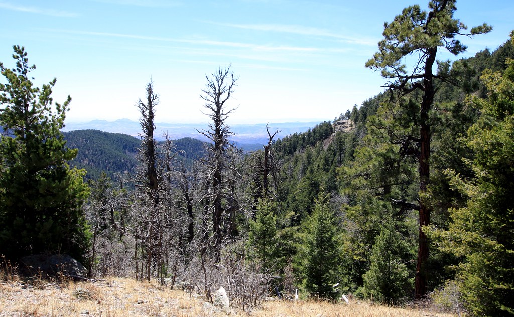 Old Mineral CreekHiking · ~7 min drivePhoto: uıɐɾ ʞ ʇɐɯɐs, CC BY-SA 2.0 (via Flickr)
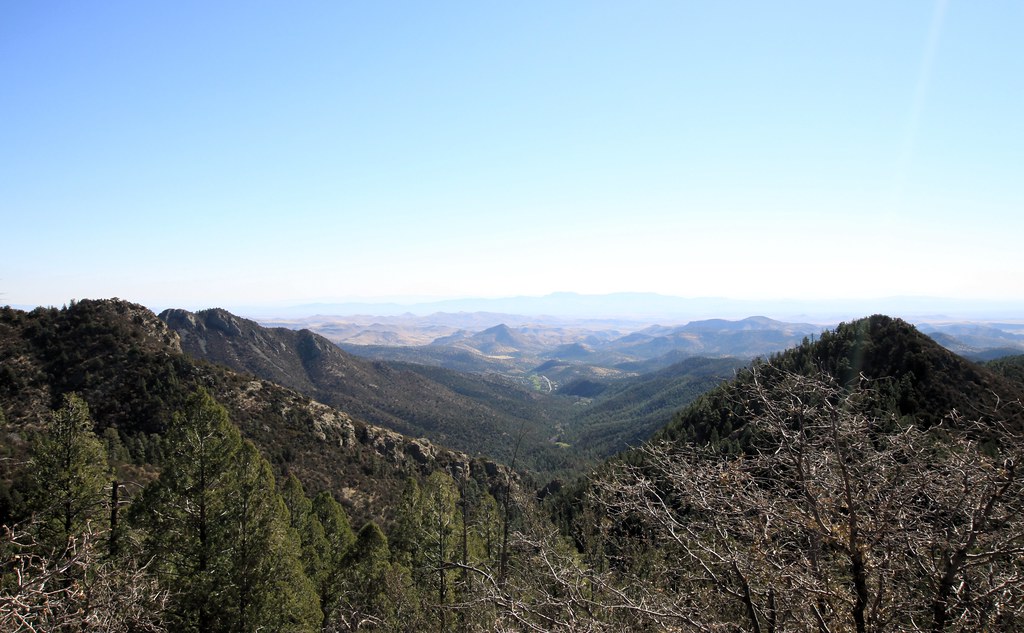 Scenic TrailHiking · ~10 min drivePhoto: uıɐɾ ʞ ʇɐɯɐs, CC BY-SA 2.0 (via Flickr)
- Holden Prong Trail #114Hiking · ~3 min drive
 Hillsboro Peak Bypass Trail #412Hiking · ~7 min drivePhoto: uıɐɾ ʞ ʇɐɯɐs, CC BY-SA 2.0 (via Flickr)
 Silver Creek RoadHiking · ~11 min drivePhoto: Patrick Alexander from Las Cruces, NM, CC0 (via Wikimedia Commons)
- Rabb Park Trail #747Hiking · ~5 min drive
- Lake Trail #110Hiking · ~11 min drive
 Black Range CrestHiking · ~9 min drivePhoto: uıɐɾ ʞ ʇɐɯɐs, CC BY-SA 2.0 (via Flickr)
 SCENIC TRAILHiking · ~14 min drivePhoto: ossguy, CC BY-SA 2.0 (via Flickr)
Also worth it near here
- Iron Creek CampgroundCamping · ~8 min drive
 Reeds PeakSummit · ~20 min drivePhoto: Patrick Alexander from Las Cruces, NM, CC0 (via Wikimedia Commons)
 Mimbres RiverCanoeing · ~21 min drivePhoto: Rafael Moreno (Flikr user moreno415), CC BY 2.0 (via Wikimedia Commons)
- Percha Creek, HillsboroRock climbing · ~24 min drive
Map and trail data © OpenStreetMap contributors
