Juniper Campground Loop A
Campground
Campground · 4.0 mi from the trail
Alert in the area
The Forest Service lists 2 alerts for Santa Fe National Forest.
Road Conditions
Agency alert covering Santa Fe National Forest · USFS · Santa Fe National Forest
Headquarters Well Area Closure on Española Ranger District
Agency alert covering Espanola Ranger District · Order 03-10-06-25-17 · USFS · Espanola Ranger District
As of · Source: USFS · Santa Fe National Forest. Agencies don't list every closure — check before you go.
Frijoles Overlook Trail is a short, easy hike in New Mexico's Santa Fe National Forest, within the Espanola Ranger District and managed by the Forest Service. The trail is an out-and-back, about 1.2 miles long, with a total elevation gain of 496 feet. That makes it a compact option for a quick stop rather than a full-day outing. The climb is front-loaded, with the steepest part coming early, about 5% grade at roughly 0.09 miles. The route starts near 6,320 feet and reaches a high point of about 6,423 feet before returning to the starting elevation. The trip takes about half an hour. Spring and fall are the most comfortable times to go. Typical averages from a nearby weather station at a similar elevation run from highs in the mid-70s and lows in the 40s in May to highs in the upper 60s and lows near 38°F in October. July and August bring the most wet days, about 10 each month. The Falls Trail Tour stops 13 through 16 sit about 1.5 miles away. Climbers can head to South Side, Big Enchilada, about 4 miles off, and Tetilla Peak campground is about 7 miles away.
Juniper Campground Loop A
Campground
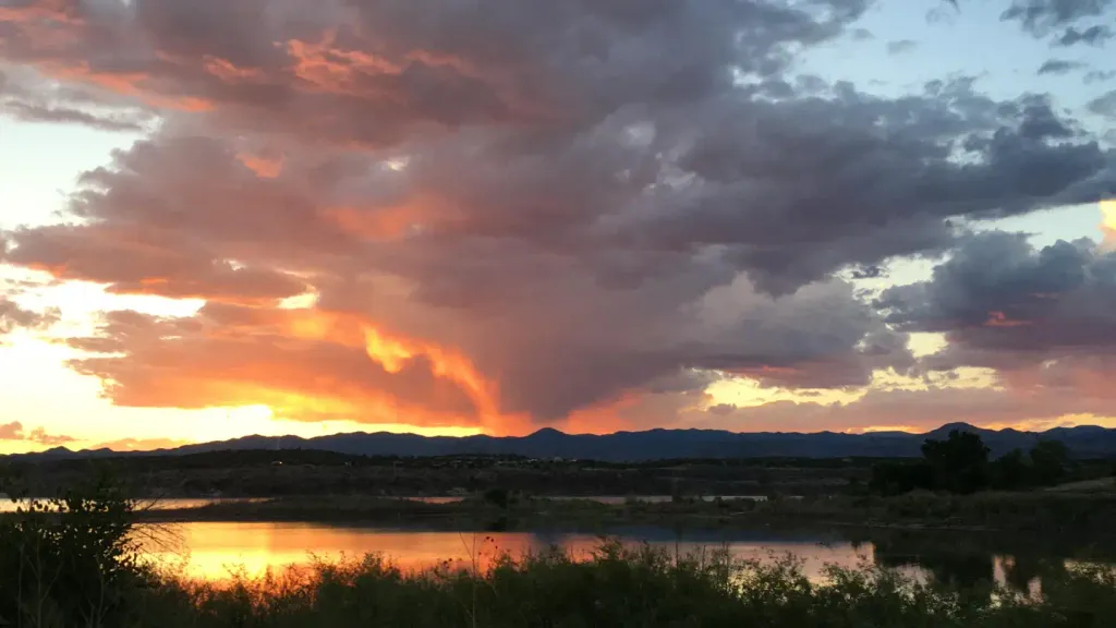
 If it rainsNewMexicophotographer1, CC BY-SA 4.0 · Wikimedia Commons
Places © OpenStreetMap contributors · Photos: NewMexicophotographer1, CC BY-SA 4.0 (commons)
More in Santo Domingo PuebloNot on Roamze yet. Their page has how to reach them.
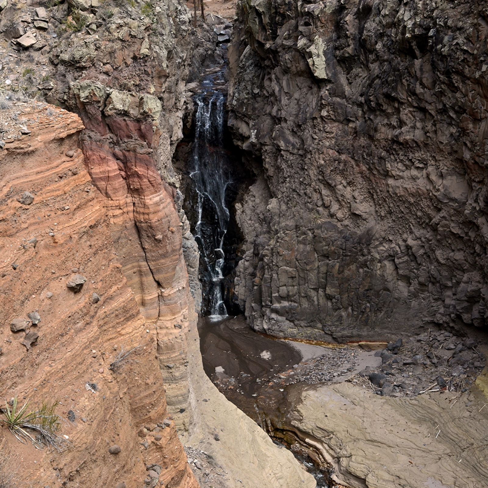 Falls Trail Tour - Stop 16HikingPhoto: NPS Photo1.5 mi
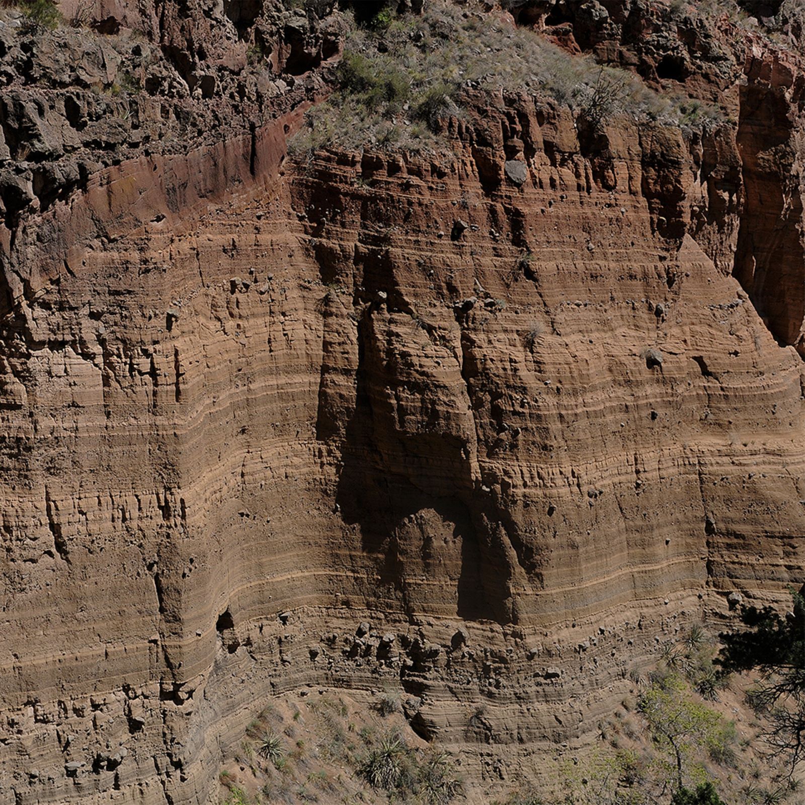 Falls Trail Tour - Stop 14HikingPhoto: NPS Photo1.5 mi
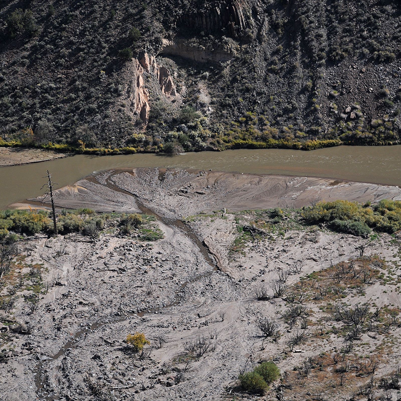 Falls Trail Tour - Stop 15HikingPhoto: NPS Photo1.5 mi
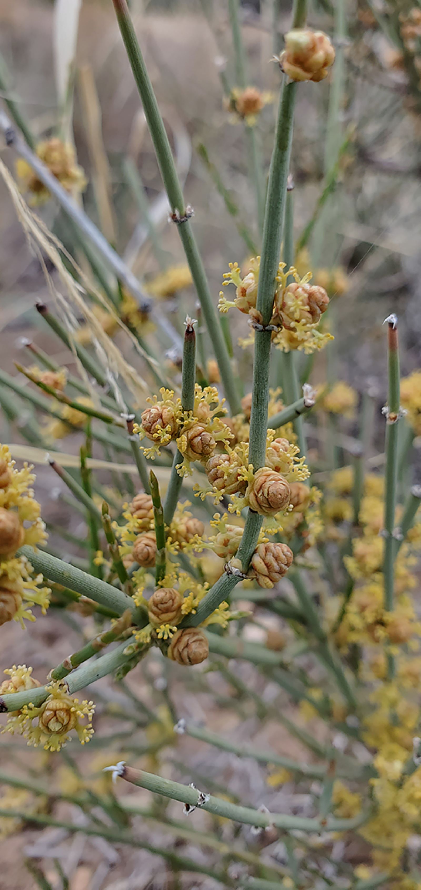 Falls Trail Tour - Stop 13HikingPhoto: NPS Photo1.5 mi
 Tetilla PeakCampingPhoto: Recreation.gov (RIDB) / public domain7.1 mi
Source: Roamze catalog (indexable pages within 10 miles, PostGIS distance)
 Ancho CanyonHiking · ~4 min drivePhoto: BFS Man from Webster, TX, USA, CC BY 2.0 (via Wikimedia Commons)
 Burro TrailHiking · ~5 min drivePhoto: MARELBU, CC BY 3.0 (via Wikimedia Commons)
Best months: April–May and September–October. Best months have typical highs of 55–85 °F, lows of 30 °F or warmer (32 °F where the station doesn't record snow), at most one snowy day and no more than 12 wet days.
Jan
44° / 20°
4 wet
Feb
50° / 23°
4 wet
Mar
59° / 28°
5 wet
Apr
66° / 34°
4 wet
May
76° / 43°
4 wet
Jun
87° / 52°
5 wet
Jul
88° / 58°
10 wet
Aug
86° / 56°
10 wet
Sep
80° / 49°
7 wet
Oct
68° / 38°
5 wet
Nov
54° / 27°
4 wet
Dec
44° / 20°
4 wet
Typical high / low (°F) and days with rain or snow, 1991–2020. Measured at Santa Fe Co Muni Ap, NM, 12.7 mi away at 6,344 ft. This station doesn't record snowfall. Source: NOAA NCEI U.S. Climate Normals 1991–2020.
Map and trail data © OpenStreetMap contributors
