

Turquoise Trail Campground
Hiking business nearby (~43 mi away) — hasn't claimed their Roamze page yet
Free — you'll pick up right here.
Watch this trail
Sign up to watch it — saving subscribes you to gate, closure and report changes.
New Mexico
445 ft
Gain
We won't guess. Here is exactly what we do and don't know.
What we do know
Inside Bandelier National Monument
2 managing-area boundaries mapped — agency alerts for them feed this page automatically.
Boundary data
What's missing
No access route mapped
We don't yet know which road reaches this trailhead, so we can't tell you if it's gated.
Nobody's filed a report here yet — be the first.
Why you'll love it
Falls Trail Tour - Stop 12
AI-suggested draft · review before you go
No permit or access details on file for this trail — check with the local land manager before you go.
<p>This is a boundary of the Bandelier Wilderness. This area was designated as a wilderness in 1976 under the Wilderness Act of 1964. Wilderness areas are given the highest form of protection the government can give to a public land to protect them for future generations.</p>
Falls Trail Tour - Stop 13
~0 min drive
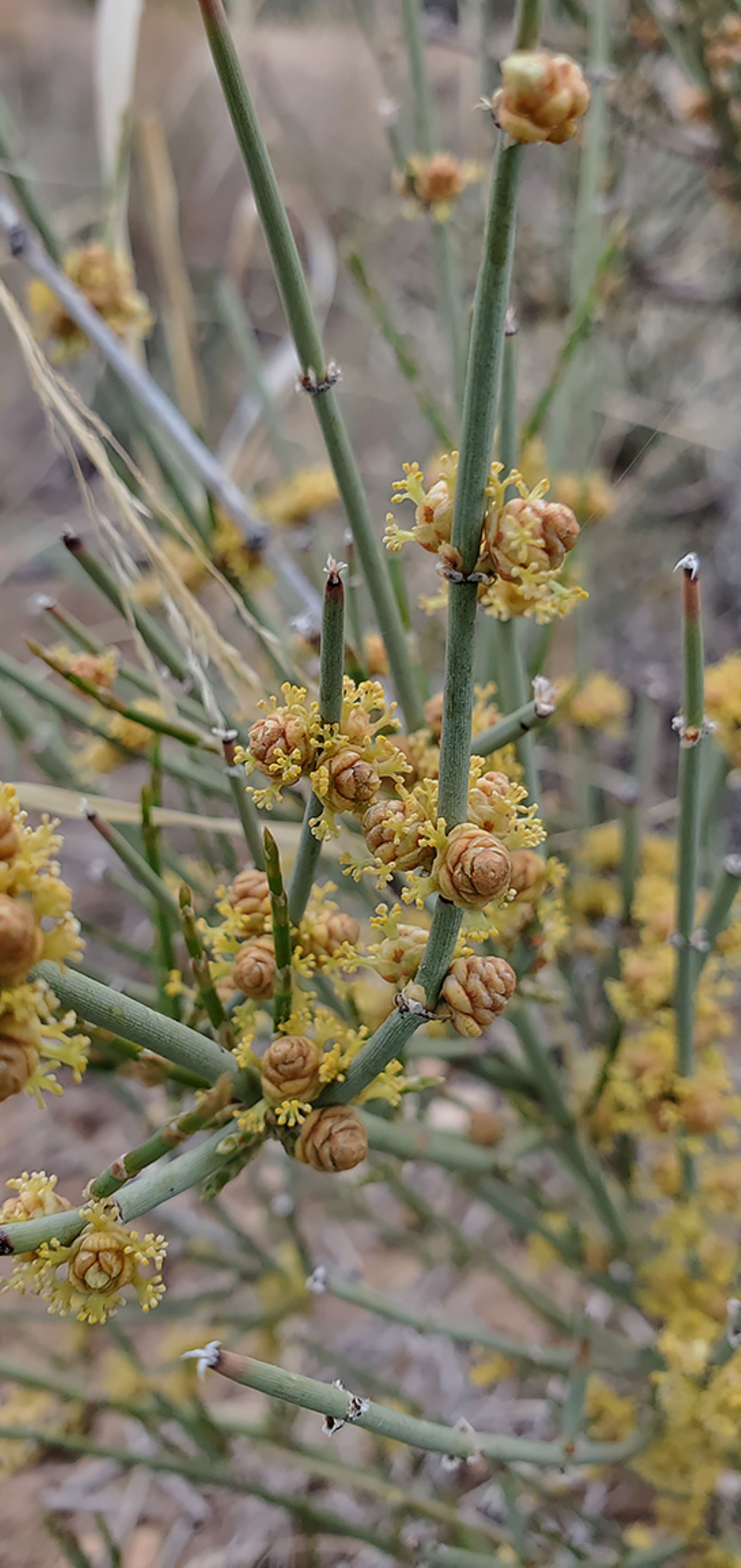
<p>Are you starting to notice some new plants? Leaving behind the towering ponderosas and scrubby oaks, you are now passing broad-leaved yucca (<i>Yucca baccata</i>), mormon tea (<i>Ephedra viridis</i>), and walkingstick cholla (<i>Opuntia imbricate</i>). The environment here…
Falls Trail Tour - Stop 15
~0 min drive
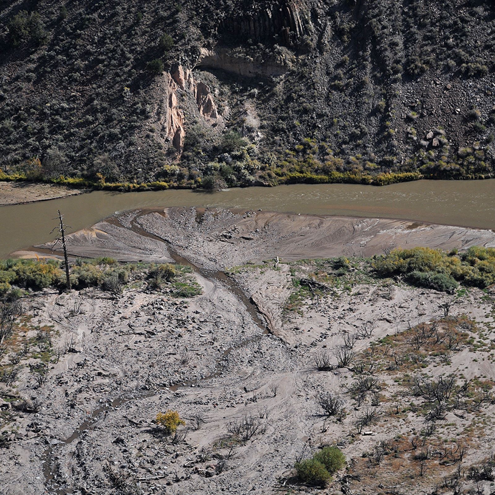
<p>See if you can spot where Frijoles Creek joins the Rio Grande. In 2011 the massive Las Conchas wildfire heavily burned the upper reaches of this canyon. In the years that followed, several huge floods changed the landscape of Frijoles Canyon. The creek normally flows around…
Falls Trail Tour - Stop 14
~0 min drive
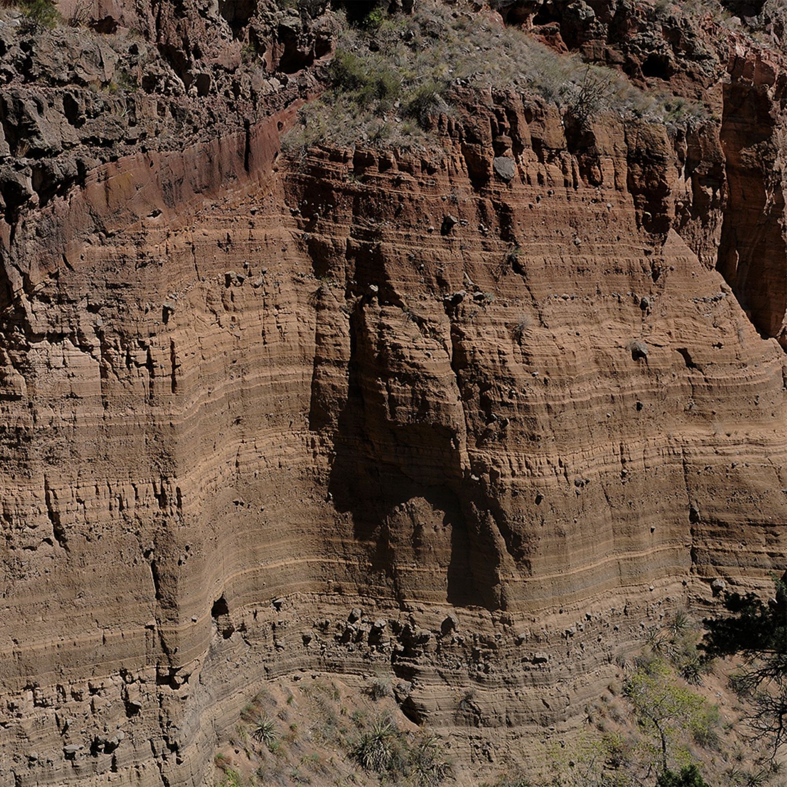
<p>Across the canyon, you can see layered volcanic rock. These are sediments from an ancient maar volcano. A maar volcano is one that erupts through water, such as an underground aquifer. When underground water is suddenly heated, it expands into a significant volume of steam.…
Falls Trail Tour - Stop 16
~0 min drive
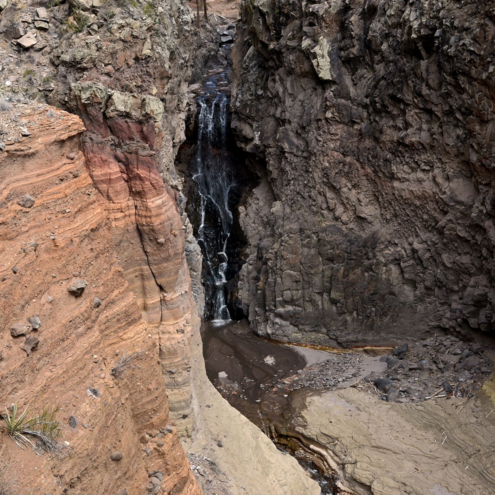
<p>Upper Falls was created by magma that cooled in the throat of the volcano as the eruptions ceased. This durable stone was resistant to erosion and withstood the downcutting of Frijoles Creek. This waterfall is approximately 80 feet tall. <br /> <br /> Upper Falls is the fin…
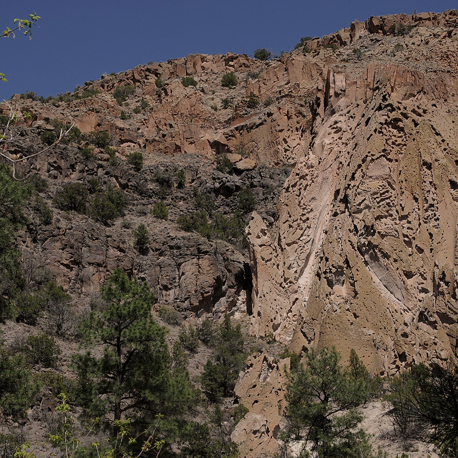
Falls Trail Tour - Stop 11
~0 min drive
<p>Look at the northeast wall of the canyon. Can you notice the boundary between basalt and tuff? This line represents one wall of the old Rio Grande waterway. Before the eruption of the Jemez Volcano, the big river flowed here. Its channel was changed and pushed southward by…
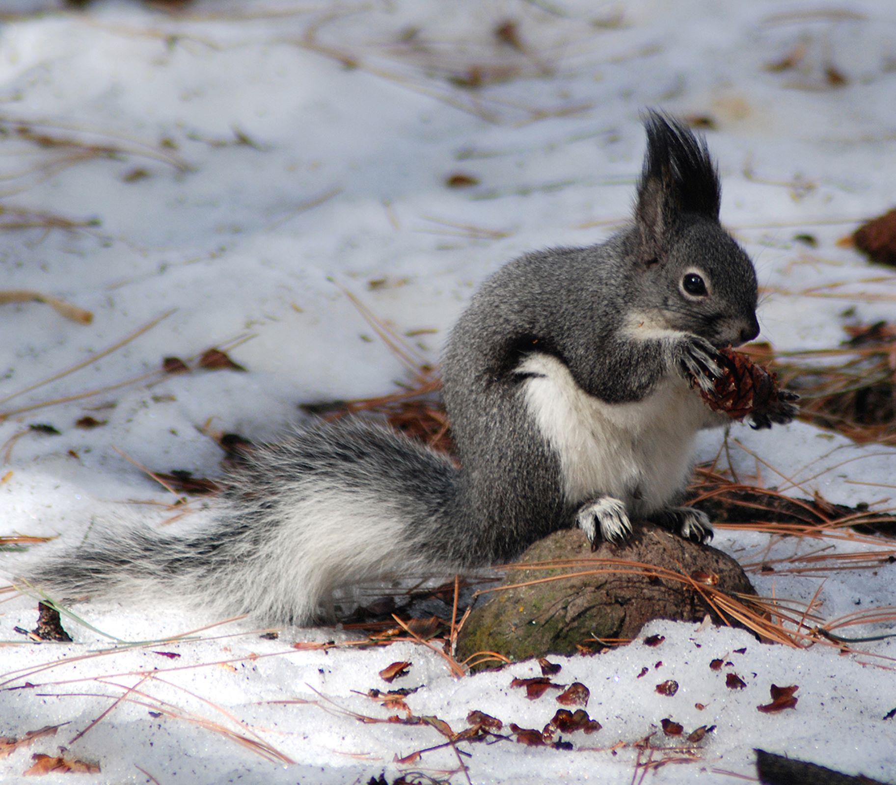
Falls Trail Tour - Stop 10
~0 min drive
<p>Abert’s squirrels, with their tufted ears and long white tails, are one common inhabitant here. Abert’s squirrels live near ponderosa pines, which provide an important food source for the squirrels. They will turn the cones slowly, much as you may rotate an ear of corn as y…
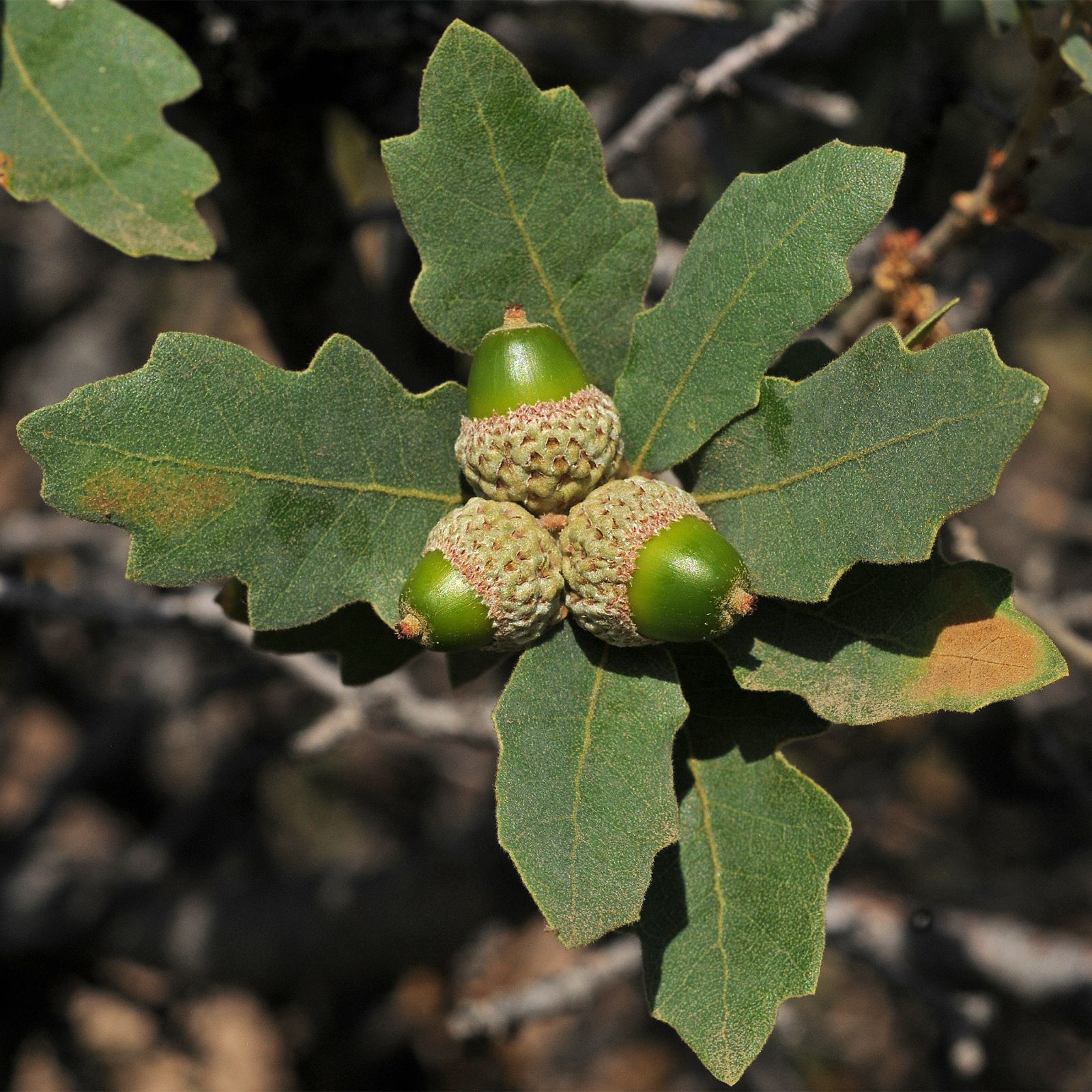
Falls Trail Tour - Stop 8
~0 min drive
<p><i>Note: Post 8 is currently lying down on the trail, so look carefully!</i><br /> <br /> Look at the small group of oaks here. Several species of oaks can be found not only in riparian areas like this one, but also in the piñon-juniper woodland and mixed conifer forests of…
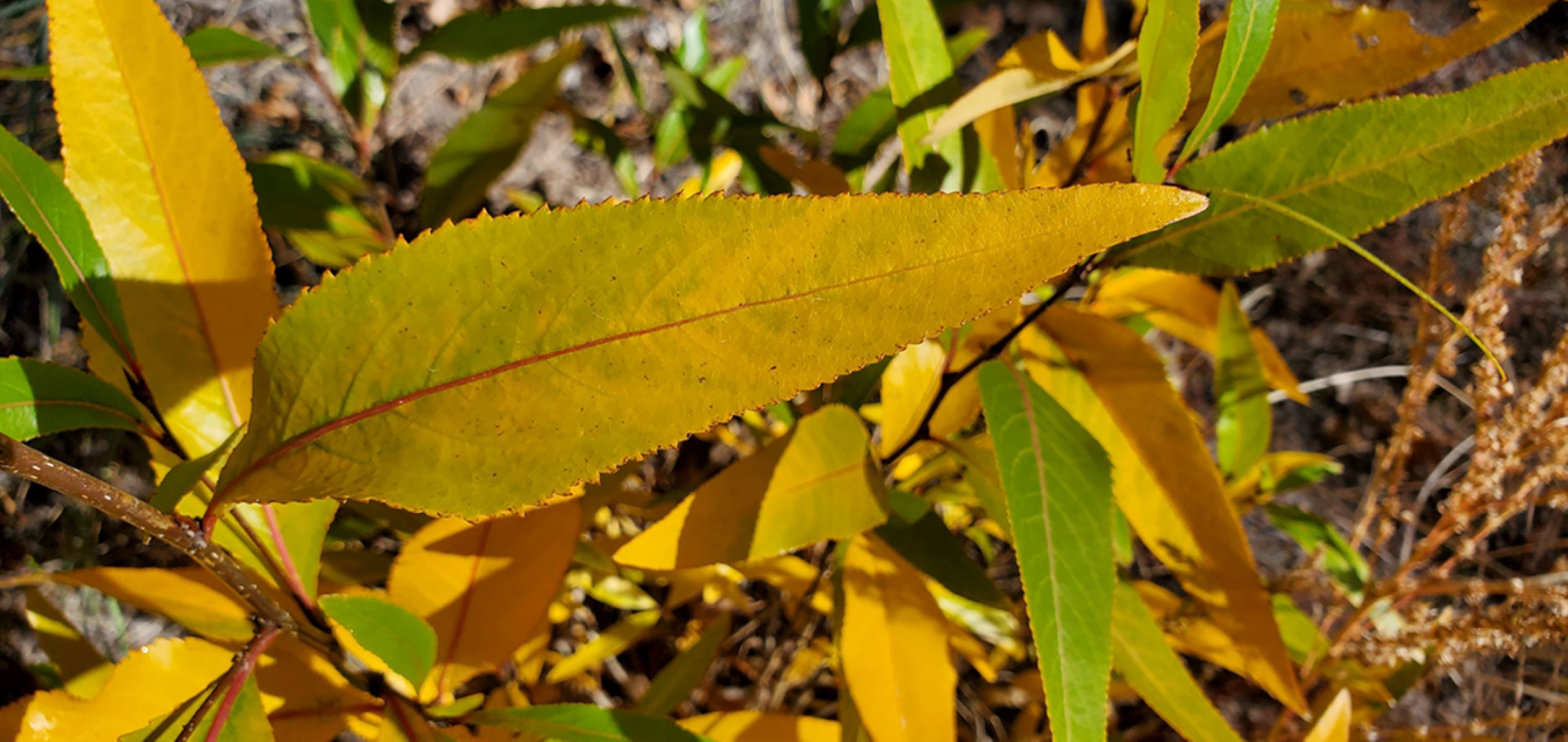
Falls Trail Tour - Stop 7
~0 min drive
<p><em>Note: There is no post currently for Stop 7, so just find a nice shady stop to pause!</em><br /> <br /> In the canyon, water-loving plants like narrowleaf cottonwood (<i>Populus angustifolia</i>) and willow (<i>Salix spp</i>) grow in profusion. Cottonwoods get their nam…
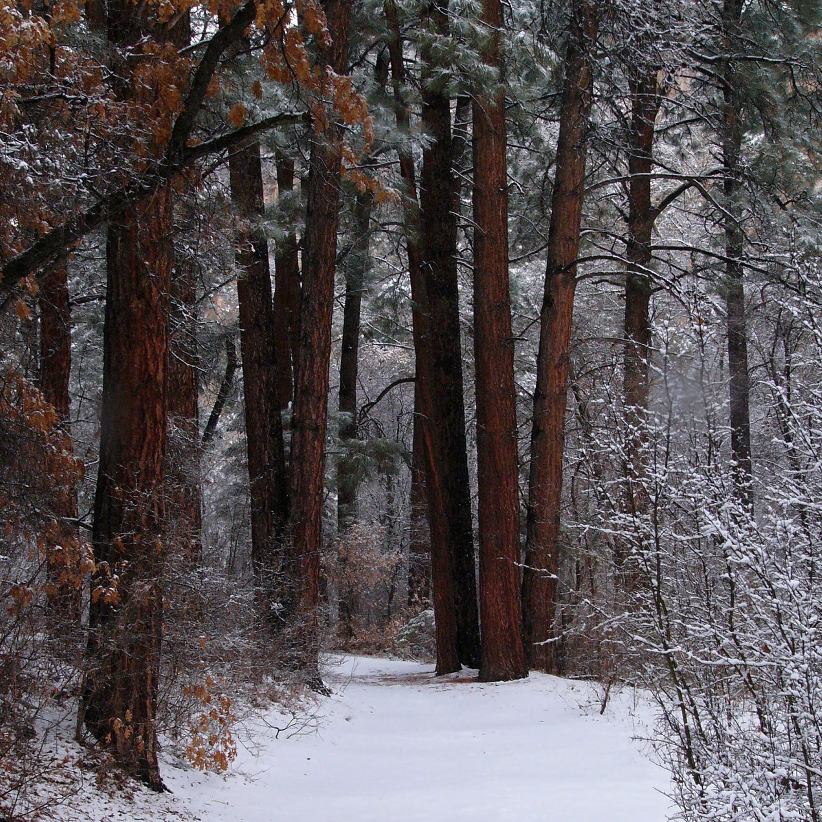
Falls Trail Tour - Stop 6
~1 min drive
<p>Frijoles Creek begins in springs on the rim of the Valles Caldera, some 4,000 feet above this spot. Melting snow and summer rain adds to the flow. The creek used to flow year-round in this area. However, after major flash floods in 2011 and 2013, it often runs dry at this l…
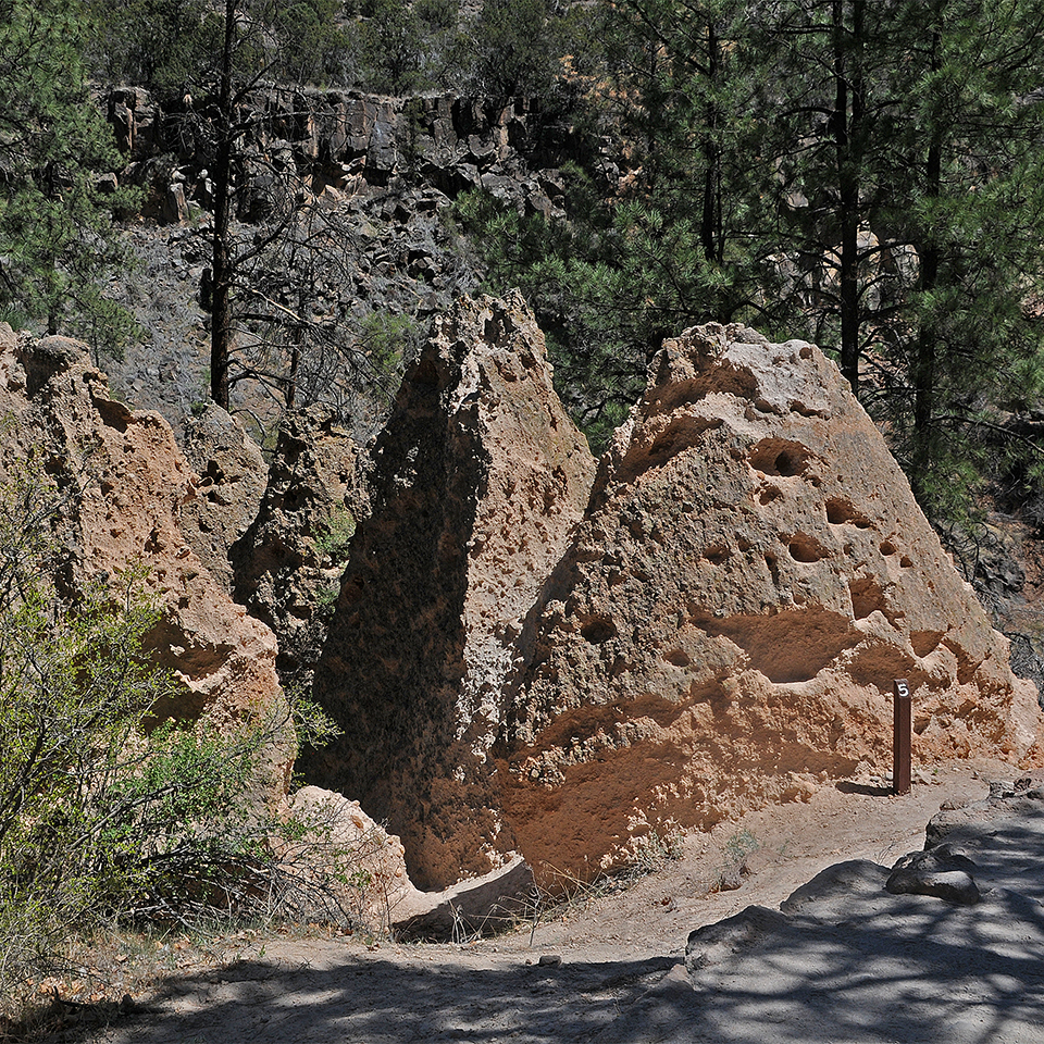
Falls Trail Tour - Stop 5
~1 min drive
<p>Here you can see tuff formations called tent rocks. These form when a more durable material shields portions of the softer rock from erosion. This coating can form in a variety of ways, and several of these types can be seen in Frijoles Canyon. Escaping vapor can heat the r…
Local operatorsoffering guided trips. You book directly with them — Roamze doesn’t take a cut.
Turquoise Trail Campground
Hiking business nearby (~43 mi away) — hasn't claimed their Roamze page yet