Juniper Campground Loop A
Campground
Campground · 2.5 mi from the trail
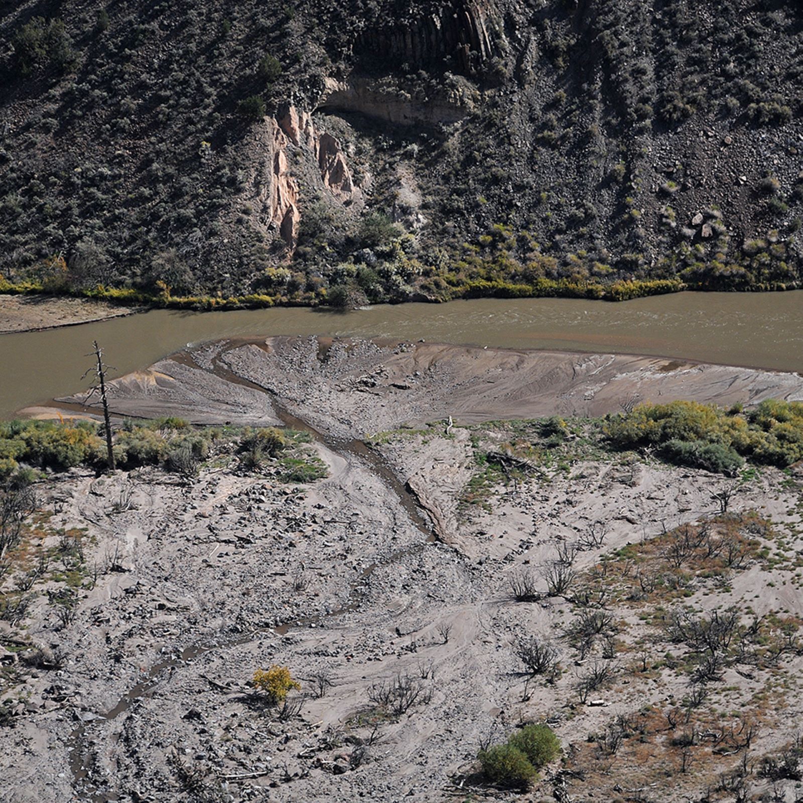 Photo: NPS Photo
Alert in the area
The National Park Service lists an alert for Bandelier National Monument.
The Use of GPS is NOT Recommended
Park alert covering Bandelier National Monument · NPS · Bandelier National Monument
As of · Source: NPS · Bandelier National Monument. Agencies don't list every closure — check before you go.
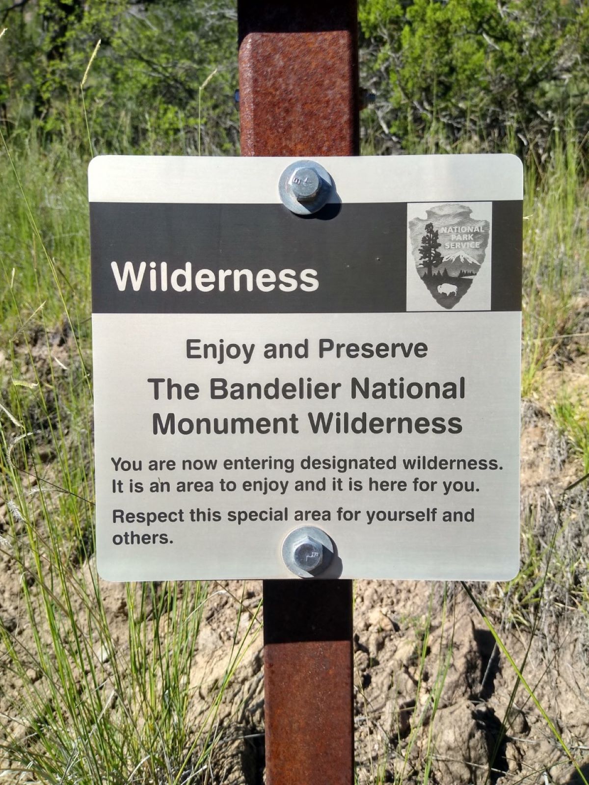
Falls Trail Tour - Stop 15 is a stop on the Falls Trail Tour in Bandelier National Monument's Bandelier Wilderness, managed by the National Park Service in New Mexico. It sits within the Bandelier Wilderness and the national monument's boundaries, and a fee is charged to visit. This stop is a place to look for where Frijoles Creek joins the Rio Grande. The area has a dramatic history: the 2011 Las Conchas wildfire burned the upper canyon, and the floods that followed changed the landscape. Frijoles Creek normally flows about 10 cubic feet per second, but during some of these floods it surged to over 9,000 cfs. The floods displaced huge boulders, trees and fine sediments, which were eventually redeposited downstream, with much of the fine debris reaching the Rio Grande. Spring and fall are the most comfortable times to visit. Typical averages from a nearby weather station at Cochiti Dam put April highs around 71°F and October highs around 74°F, while July and August average about 94°F. The tour moves from stop to stop within about a tenth of a mile, so Stop 14 and Stop 16 are both close by. Climbers can find Potrillo Cliffs about 3 miles away, and Tetilla Peak campground is roughly 8 miles out.
Juniper Campground Loop A
Campground
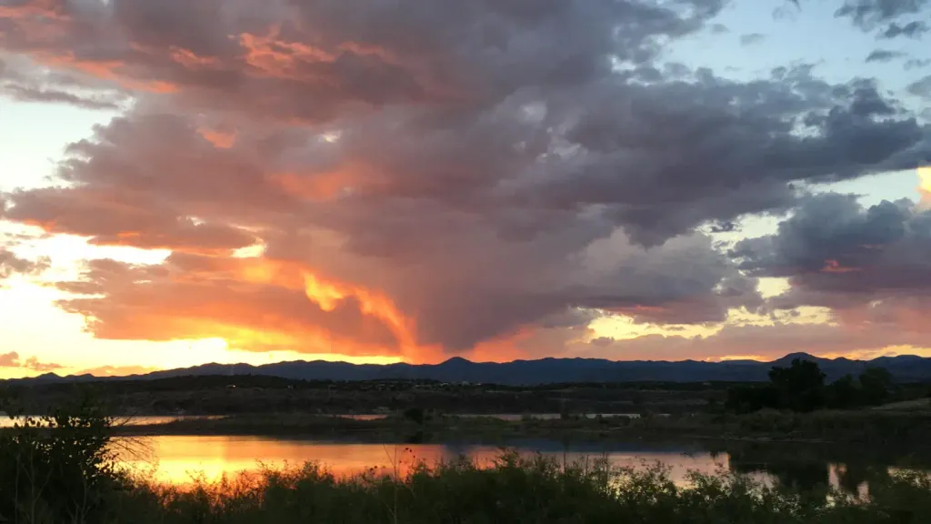
 If it rainsNewMexicophotographer1, CC BY-SA 4.0 · Wikimedia Commons
Places © OpenStreetMap contributors · Photos: NewMexicophotographer1, CC BY-SA 4.0 (commons)
More in Santo Domingo PuebloNot on Roamze yet. Their page has how to reach them.
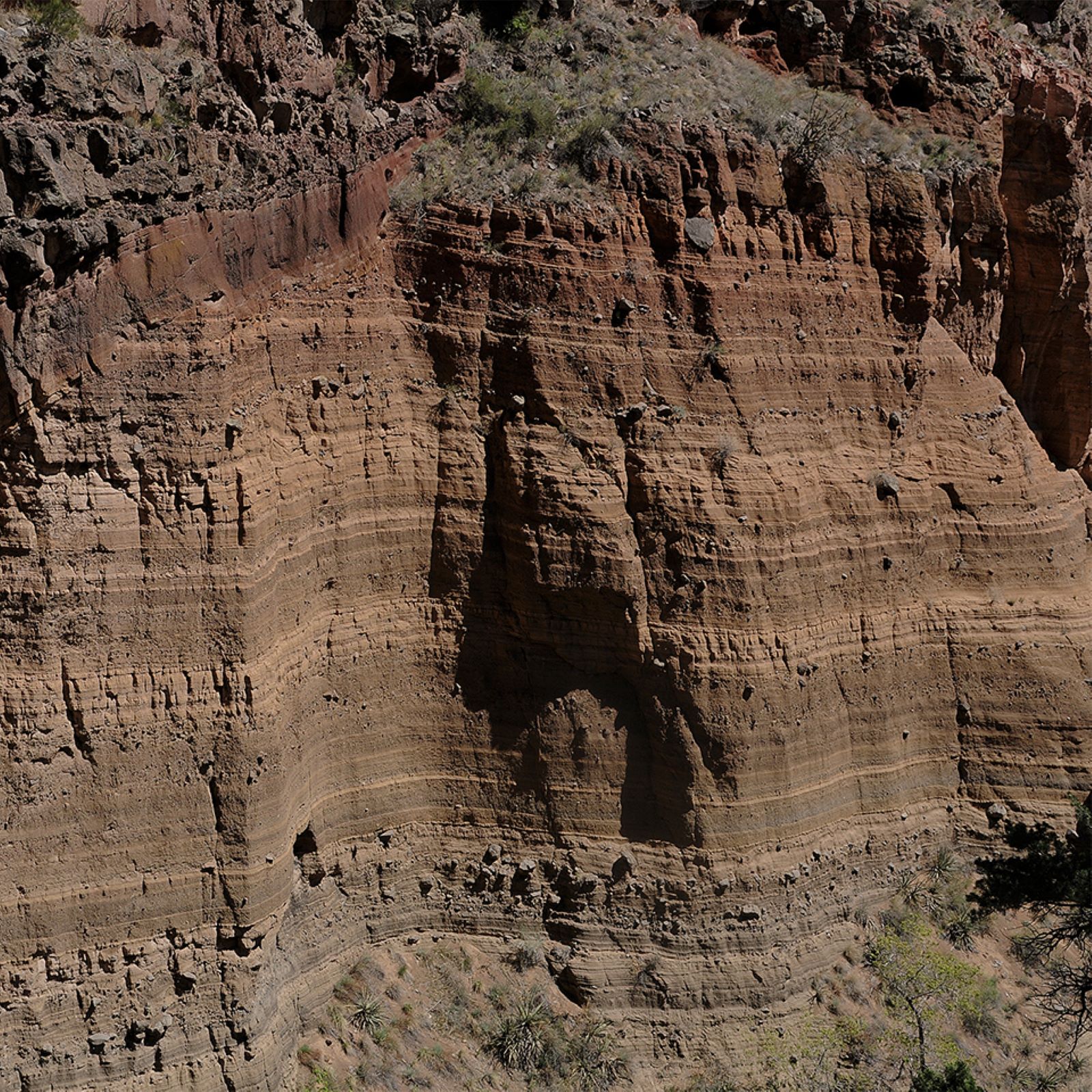 Falls Trail Tour - Stop 14HikingPhoto: NPS Photo0.1 mi
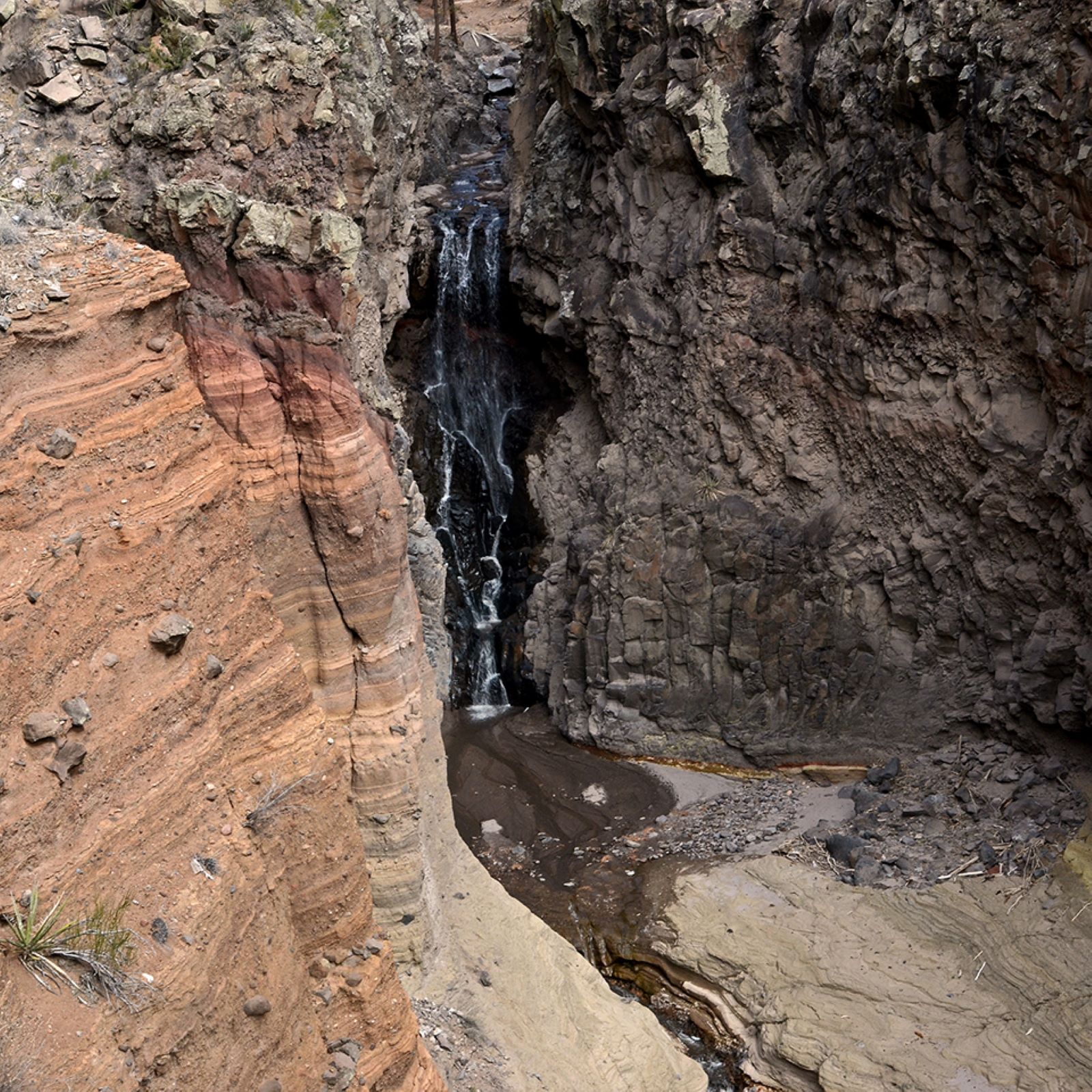 Falls Trail Tour - Stop 16HikingPhoto: NPS Photo0.1 mi
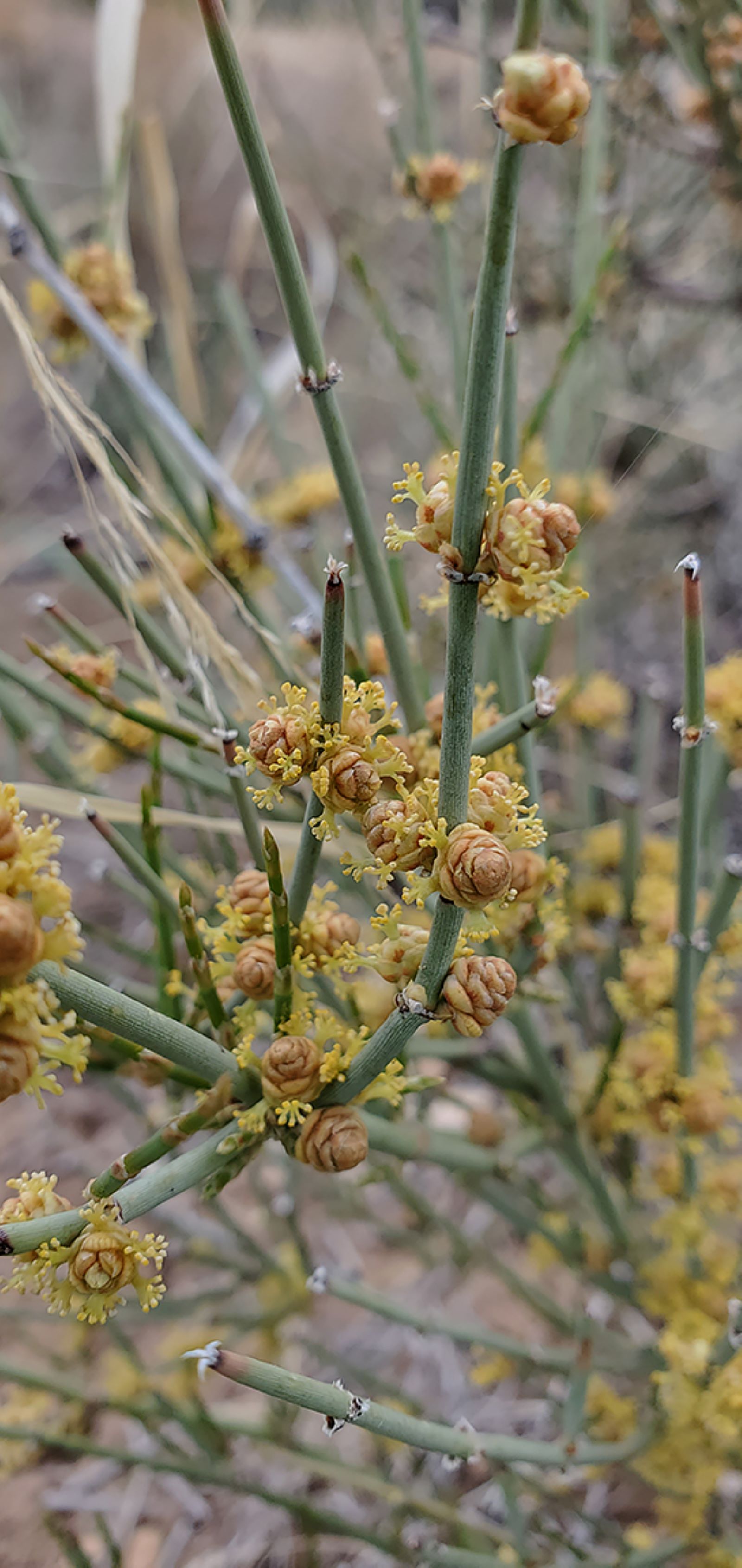 Falls Trail Tour - Stop 13HikingPhoto: NPS Photo0.1 mi
 Falls Trail Tour - Stop 12HikingPhoto: NPS Photo0.1 mi
 Tetilla PeakCampingPhoto: Recreation.gov (RIDB) / public domain8.4 mi
Source: Roamze catalog (indexable pages within 10 miles, PostGIS distance)
 Burro TrailHiking · ~2 min drivePhoto: MARELBU, CC BY 3.0 (via Wikimedia Commons)
 Ancho CanyonHiking · ~3 min drivePhoto: BFS Man from Webster, TX, USA, CC BY 2.0 (via Wikimedia Commons)
Best months: March–May and October. Best months have typical highs of 55–85 °F, lows of 30 °F or warmer (32 °F where the station doesn't record snow), at most one snowy day and no more than 12 wet days.
Jan
50° / 20°
4 wet · 1 snow
Feb
56° / 24°
4 wet · 1 snow
Mar
64° / 30°
4 wet
Apr
71° / 37°
4 wet
May
81° / 46°
5 wet
Jun
92° / 56°
5 wet
Jul
94° / 61°
10 wet
Aug
92° / 59°
10 wet
Sep
86° / 52°
6 wet
Oct
74° / 39°
5 wet
Nov
60° / 28°
4 wet
Dec
50° / 20°
4 wet · 1 snow
Typical high / low (°F) and days with rain or snow, 1991–2020. Measured at Cochiti Dam, NM, 9.4 mi away at 5,560 ft. Source: NOAA NCEI U.S. Climate Normals 1991–2020.

