Carrizo Peak Trail
- 2.5 mi
- distance
- 1,464 ft
- climb
- 9,595 ft
- high point
- Lollipop
- route
Is Carrizo Peak Trail open right now?
Alert in the area
The Forest Service lists 5 alerts for Smokey Bear Ranger District.
Order# 03-08-01-26-003 Cedar Creek Closure
Agency alert covering Smokey Bear Ranger District · Order 03-08-01-26-003 · USFS · Smokey Bear Ranger District
Order# 03-08-26-002: Temporary Road Closure
Agency alert covering Lincoln National Forest · Order 03-08-26-002 · USFS · Lincoln National Forest
Current Fire Restrictions and Related Prohibitions
Agency alert covering Lincoln National Forest · USFS · Lincoln National Forest
InciWeb - for current incidents
Agency alert covering Lincoln National Forest · USFS · Lincoln National Forest
Snow Play Closure
Agency alert covering Smokey Bear Ranger District · Order 03-08-01-24-007 · USFS · Smokey Bear Ranger District
As of · Source: USFS · Smokey Bear Ranger District. Agencies don't list every closure — check before you go.
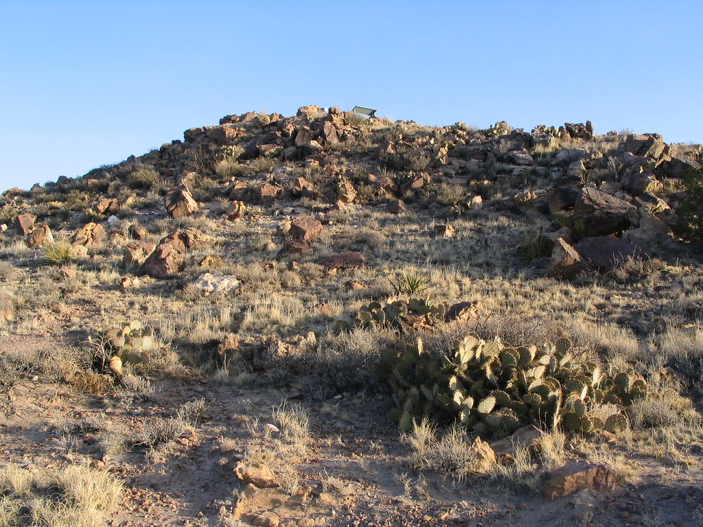
Carrizo Peak Trail is a 2.5-mile loop hike in the Smokey Bear Ranger District of Lincoln National Forest in New Mexico, managed by the Forest Service. The trail starts at about 8,571 feet and climbs to a high point of 9,595 feet, with a total elevation gain of 1,464 feet. It is rated moderate. The route makes a loop, so the climb is one way. The trail's shape and elevation figures come from a digital elevation model of the mapped route. Carrizo Peak lies about a mile away, and Johnnie Canyon Trail is about 1.2 miles off. Trail Canyon and Goat Spring Trail are both within about 4 miles.
Conditions and forecast on Carrizo Mountain
Daily highs and lows, wind and the chance of precipitation at the summit and route start for the next 7 days, from the Open-Meteo model.
- Carrizo PeakHiking1 mi
- Johnnie Canyon TrailHiking1.2 mi
- Trail CanyonHiking3.5 mi
- Goat Spring TrailHiking4.2 mi
- Trail Canyon TrailHiking4.4 mi
- Patos MountainHiking5.9 mi
- Barber Springs TrailHiking6.5 mi
- Tucson MountainHiking6.6 mi
Source: Roamze catalog (indexable pages within 10 miles, PostGIS distance)
 Warner GulchHiking · ~20 min drivePhoto: Patrick Alexander from Las Cruces, NM, CC0 (via Wikimedia Commons)
 Lava Flow Nature TrailHiking · ~21 min drivePhoto: Ken Lund, CC BY-SA 2.0 (via Flickr)
- Johnnie Canyon TrailHiking · ~2 min drive
 Rodamaker CanyonHiking · ~29 min drivePhoto: waterarchives, CC BY-SA 2.0 (via Flickr)
 Upper Parameter TrailHiking · ~21 min drivePhoto: dconvertini, CC BY-SA 2.0 (via Flickr)
- Patos MountainHiking · ~10 min drive
- Trail CanyonHiking · ~6 min drive
- Lower Parameter TrailHiking · ~21 min drivePhoto: dconvertini, CC BY-SA 2.0 (via Flickr)
- Barber Springs TrailHiking · ~11 min drive
- Goat Spring TrailHiking · ~7 min drive
Route details
- Distance
- 2.5 mi
- Climbing
- About 1,464 ft
- Summit
- 9,603 ft
- Difficulty
- Moderate
Other routes up Carrizo Mountain
Questions about this route
How long is the Carrizo Peak Trail on Carrizo Mountain?
About 2.5 mi.
How much elevation gain is on the Carrizo Peak Trail?
About 1,464 ft of climbing round trip.
How hard is the Carrizo Peak Trail?
It is rated moderate.
How many routes go up Carrizo Mountain?
2: Carrizo Peak and Carrizo Peak Trail.
Map and trail data © OpenStreetMap contributors
