Barber Springs Trail
- 15.7 mi
- round trip
- 1,236 ft
- climb
- 7,565 ft
- high point
- Out and back
- route
- Apr–May, Jul–Oct
- best months
Caution today
Agency alerts are in effect for this area; weather is good · USFS, OpenWeather · checked just now
Is Barber Springs Trail open right now?
Alert in the area
The Forest Service lists 5 alerts for Smokey Bear Ranger District.
Order# 03-08-01-26-003 Cedar Creek Closure
Agency alert covering Smokey Bear Ranger District · Order 03-08-01-26-003 · USFS · Smokey Bear Ranger District
Order# 03-08-26-002: Temporary Road Closure
Agency alert covering Lincoln National Forest · Order 03-08-26-002 · USFS · Lincoln National Forest
Current Fire Restrictions and Related Prohibitions
Agency alert covering Lincoln National Forest · USFS · Lincoln National Forest
InciWeb - for current incidents
Agency alert covering Lincoln National Forest · USFS · Lincoln National Forest
Snow Play Closure
Agency alert covering Smokey Bear Ranger District · Order 03-08-01-24-007 · USFS · Smokey Bear Ranger District
As of · Source: USFS · Smokey Bear Ranger District. Agencies don't list every closure — check before you go.
Barber Springs Trail is a 15.7-mile out-and-back hike in the Smokey Bear Ranger District of Lincoln National Forest in New Mexico, managed by the Forest Service. The route rises from a low point of 6,688 feet to a high of 7,565 feet, with an elevation gain of 1,236 feet one way. It is a hard hike, and the trail surface is natural, so plan for a long day on foot. The trail is open year-round, and the Forest Service allows both horses and bikes. For timing, late spring and early fall are the most comfortable. Typical averages from the nearby Capitan weather station show May highs around 77°F and September highs around 78°F, while July and August bring the most wet days, about 10 each month. Patos Mountain sits just 0.8 miles away, and Trail Canyon Trail and Trail Canyon are both within about 3 miles. Carrizo Peak Trail is about 6.5 miles off.
- Patos MountainHiking0.8 mi
- Trail Canyon TrailHiking2.9 mi
- Trail CanyonHiking3.1 mi
- Johnnie Canyon TrailHiking5.5 mi
- Sand WashHiking6.1 mi
- Carrizo Peak TrailHiking6.5 mi
 Warner GulchHikingPhoto: Patrick Alexander from Las Cruces, NM, CC0 (via Wikimedia Commons)6.5 mi
- Goat Spring TrailHiking6.8 mi
Source: Roamze catalog (indexable pages within 10 miles, PostGIS distance)
- Warner GulchHiking · ~11 min drivePhoto: Patrick Alexander from Las Cruces, NM, CC0 (via Wikimedia Commons)
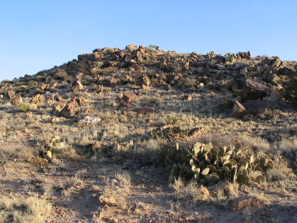 Lava Flow Nature TrailHiking · ~30 min drivePhoto: Ken Lund, CC BY-SA 2.0 (via Flickr)
- Patos MountainHiking · ~1 min drive
- Trail CanyonHiking · ~5 min drive
 Upper Parameter TrailHiking · ~30 min drivePhoto: dconvertini, CC BY-SA 2.0 (via Flickr)
- Johnnie Canyon TrailHiking · ~9 min drive
- Sand WashHiking · ~10 min drive
- Lower Parameter TrailHiking · ~31 min drivePhoto: dconvertini, CC BY-SA 2.0 (via Flickr)
- South BaseHiking · ~25 min drive
- Carrizo Peak TrailHiking · ~11 min drive
Best time to visit Barber Springs Trail
Best months: April–May and July–October. Best months have typical highs of 55–85 °F, lows of 30 °F or warmer (32 °F where the station doesn't record snow), at most one snowy day and no more than 12 wet days.
Jan
51° / 24°
4 wet · 3 snow
Feb
55° / 27°
3 wet · 2 snow
Mar
62° / 30°
3 wet · 2 snow
Apr
69° / 36°
3 wet · 1 snow
May
77° / 44°
4 wet
Jun
87° / 51°
6 wet
Jul
85° / 55°
10 wet
Aug
83° / 54°
10 wet
Sep
78° / 48°
7 wet
Oct
70° / 38°
4 wet
Nov
60° / 29°
3 wet · 1 snow
Dec
50° / 24°
4 wet · 3 snow
Typical high / low (°F) and days with rain or snow, 1991–2020. Measured at Capitan, NM, 15.8 mi away at 6,480 ft. The station sits about 1,100 ft lower than this place, so expect it a little cooler here. Source: NOAA NCEI U.S. Climate Normals 1991–2020.
