Upper Parameter Trail
 Photo: dconvertini, CC BY-SA 2.0 (via Flickr)
- 0.5 mi
- round trip
- 32 ft
- climb
- 5,258 ft
- high point
- Out and back
- route
- Mar–May, Sep–Oct
- best months
The Upper Parameter Trail is a short, easy out-and-back hike on Bureau of Land Management land within the Roswell Field Office in western New Mexico. The route is about 0.94 miles long and climbs roughly 32 feet, with the high point at 5,258 feet and the low at 5,223 feet. Spring and fall are the most comfortable times to go. Typical averages from a nearby weather station show October highs around 73°F with lows near 41°F, while June highs average about 91°F. The station sits a few hundred feet above the trail, so temperatures on the trail itself may run slightly warmer. The Lava Flow Nature Trail lies about 0.1 mile away, and Valley of Fires Recreation Area, a campground, is about 0.2 mile off. The Lower Parameter Trail is about 0.4 mile away.
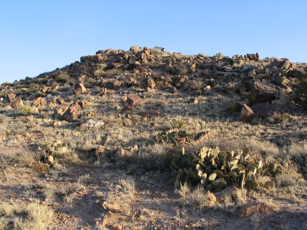 Lava Flow Nature TrailHikingPhoto: Ken Lund, CC BY-SA 2.0 (via Flickr)0.1 mi
- Valley of Fires Recreation AreaCampingPhoto: Ken Lund — CC BY-SA 2.0 (via Flickr)0.2 mi
- Lower Parameter TrailHikingPhoto: dconvertini, CC BY-SA 2.0 (via Flickr)0.4 mi
Source: Roamze catalog (indexable pages within 10 miles, PostGIS distance)
- Lava Flow Nature TrailHiking · Next doorPhoto: Ken Lund, CC BY-SA 2.0 (via Flickr)
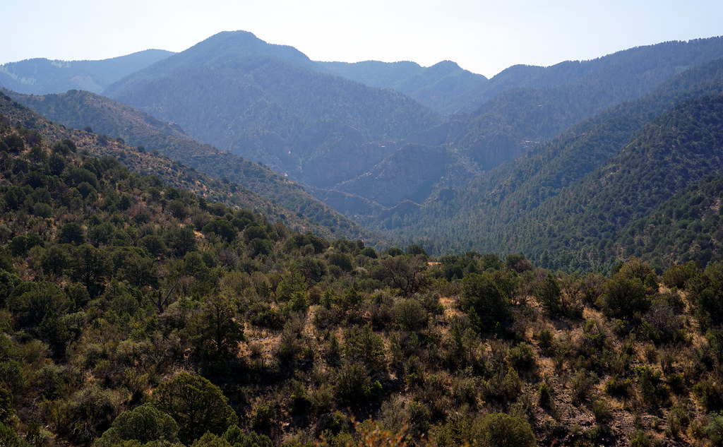 Goat CanyonHiking · ~31 min drivePhoto: uıɐɾ ʞ ʇɐɯɐs, CC BY-SA 2.0 (via Flickr)
- Water CanyonHiking · ~21 min drive
- Lower Parameter TrailHiking · Next doorPhoto: dconvertini, CC BY-SA 2.0 (via Flickr)
- Carrizo PeakHiking · ~19 min drive
- Johnnie Canyon TrailHiking · ~22 min drive
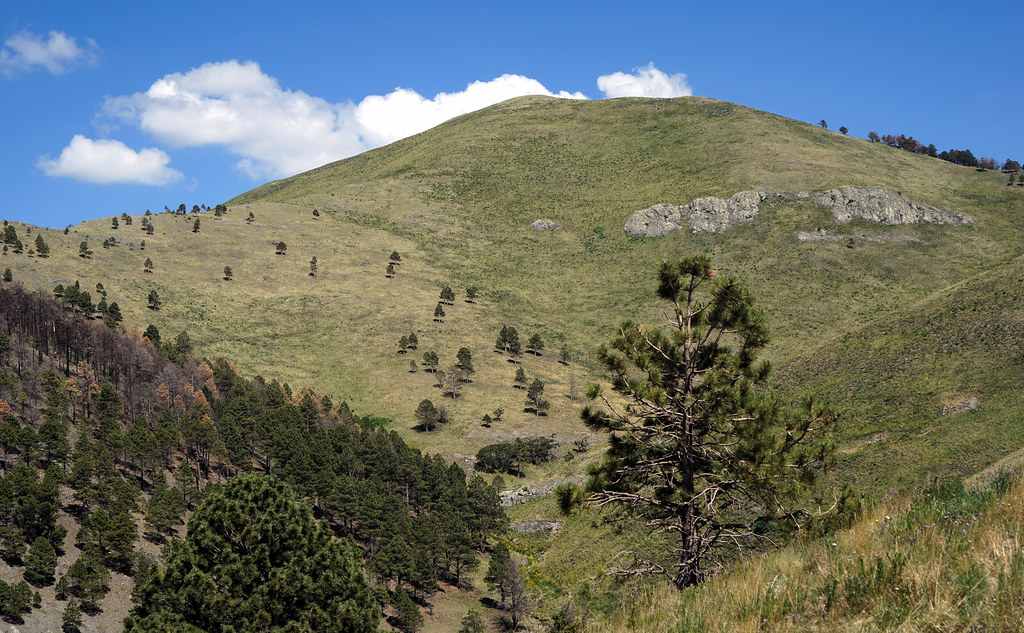 MaverickHiking · ~31 min drivePhoto: uıɐɾ ʞ ʇɐɯɐs, CC BY-SA 2.0 (via Flickr)
- Norman CanyonHiking · ~22 min drive
- Tortolita Canyon TrailHiking · ~23 min drive
- Nogal CanyonHiking · ~25 min drive
Best time to visit Upper Parameter Trail
Best months: March–May and September–October. Best months have typical highs of 55–85 °F, lows of 30 °F or warmer (32 °F where the station doesn't record snow), at most one snowy day and no more than 12 wet days.
Jan
52° / 23°
3 wet
Feb
58° / 26°
3 wet
Mar
65° / 32°
3 wet
Apr
73° / 38°
2 wet
May
82° / 47°
2 wet
Jun
91° / 55°
4 wet
Jul
90° / 60°
7 wet
Aug
88° / 58°
7 wet
Sep
83° / 52°
5 wet
Oct
73° / 41°
3 wet
Nov
60° / 29°
2 wet
Dec
51° / 22°
3 wet
Typical high / low (°F) and days with rain or snow, 1991–2020. Measured at Carrizozo 1sw, NM, 4 mi away at 5,405 ft. This station doesn't record snowfall. Source: NOAA NCEI U.S. Climate Normals 1991–2020.
Map and trail data © OpenStreetMap contributors
