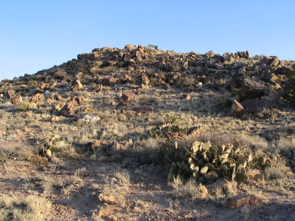
Carrizo Mountain
- 9,603 ft
- summit
- 2
- ways up
Is Carrizo Mountain open right now?
Alert in the area
The Forest Service lists 5 alerts for Smokey Bear Ranger District.
Order# 03-08-01-26-003 Cedar Creek Closure
Agency alert covering Smokey Bear Ranger District · Order 03-08-01-26-003 · USFS · Smokey Bear Ranger District
Order# 03-08-26-002: Temporary Road Closure
Agency alert covering Lincoln National Forest · Order 03-08-26-002 · USFS · Lincoln National Forest
Current Fire Restrictions and Related Prohibitions
Agency alert covering Lincoln National Forest · USFS · Lincoln National Forest
InciWeb - for current incidents
Agency alert covering Lincoln National Forest · USFS · Lincoln National Forest
Snow Play Closure
Agency alert covering Smokey Bear Ranger District · Order 03-08-01-24-007 · USFS · Smokey Bear Ranger District
As of · Source: USFS · Smokey Bear Ranger District. Agencies don't list every closure — check before you go.
Carrizo Mountain is a summit in the Smokey Bear Ranger District of Lincoln National Forest in New Mexico, about 7 miles from the town of Carrizozo. Carrizo Peak sits just 0.1 mile away, and the Carrizo Peak Trail is about a mile off. Johnnie Canyon Trail lies roughly 2 miles away, and Patos Mountain is about 7 miles distant.
Conditions and forecast
Daily highs and lows, wind and the chance of precipitation at the summit and route start for the next 7 days, from the Open-Meteo model.
- Summit elevation
- 9,603 ft
Elevation from USGS 3D Elevation Program terrain data (about 10 m resolution).
- Carrizo PeakModerateabout 1,384 ft of climbing5.0 mi round trip
- Carrizo Peak TrailModerateabout 1,464 ft of climbing2.5 mi
Compare the routes Carrizo Peak Carrizo Peak Trail Climbing About 1,384 ft About 1,464 ft Round trip 5.0 mi 2.5 mi Difficulty Moderate Moderate Terrain Hike Hike Season Year-round — Map © Mapbox © OpenStreetMap contributors Questions about Carrizo Mountain
How tall is Carrizo Mountain?
9,603 ft (2,927 m).
How many routes go to the summit of Carrizo Mountain?
2: Carrizo Peak and Carrizo Peak Trail.
What is the shortest route up Carrizo Mountain?
Carrizo Peak Trail, about 2.5 mi.
When is the best time to climb Carrizo Mountain?
Year-round.
- Tucson Mountain8,307 ft · New Mexico1 route6.2 mi away
- Church Mountain8,807 ft · New Mexico1 route10 mi away
- Nogal Peak9,957 ft · New Mexico1 route14 mi away
- Padilla Point9,636 ft · New Mexico1 route19 mi away
- Lookout Mountain11,572 ft · New Mexico2 routes21 mi away
- Moon Mountain7,337 ft · New Mexico1 route24 mi away
- Carrizo PeakHiking0.1 mi
- Carrizo Peak TrailHiking1 mi
- Johnnie Canyon TrailHiking2 mi
- Trail CanyonHiking4.5 mi
- Goat Spring TrailHiking4.7 mi
- Trail Canyon TrailHiking5.2 mi
- Patos MountainHiking6.8 mi
- Tucson MountainHiking7 mi
Source: Roamze catalog (indexable pages within 10 miles, PostGIS distance)
 Sierra Blanca PeakSummit · ~38 min drivePhoto: uıɐɾ ʞ ʇɐɯɐs from New York City, USA, CC BY-SA 2.0 (via Wikimedia Commons)
- Tucson MountainSummit · ~11 min drive
- Church MountainSummit · ~17 min drive
- Nogal PeakSummit · ~24 min drive
- Padilla PointSummit · ~33 min drive
- Lookout MountainSummit · ~36 min drive
- Grindstone MesaSummit · ~44 min drive
- Chimney RockSummit · ~49 min drive
- Moon MountainSummit · ~42 min drive