
Billy the Kid Trail
New Mexico
Map
Byway Details
- Designation
- National Scenic Byway
- Length
- 88 mi in New Mexico
About Billy the Kid Trail
Billy the Kid Trail is an 88.2-mile scenic drive in New Mexico that carries two designations: it is a National Scenic Byway and also a New Mexico State Scenic Byway. The route links the towns of Ruidoso, Ruidoso Downs and Capitan, so it works as a long drive with stops along the way rather than a single outing. For comfortable weather, aim for late spring or early fall. Typical averages from a nearby weather station in Ruidoso show May highs around 73°F and September highs around 75°F, while July and August bring the most wet days, about 15 each month. Several places sit right off the road. Rob Jagger's Campground and the Rio Bonito Trail are both about 0.1 mile away, and the Cave Loop and Lower Cedar Creek Trail are each about 0.2 mile away.
Scenic byway data: U.S. Department of Transportation, Federal Highway Administration
Facts about this place
When to go
Best time to go: Apr–Oct. The mildest months here, with typical highs of 65–82°F and lows of 33–51°F.
Typical monthly averages (not a forecast) from the Ruidoso, NM weather station, 5.3 mi away. High / low in °F.
- Jan49° high21° low
- Feb51° high23° low
- Mar58° high27° low
- Apr65° high33° low
- May73° high40° low
- Jun82° high47° low
- Jul81° high51° low
- Aug79° high50° low
- Sep75° high44° low
- Oct67° high35° low
- Nov56° high26° low
- Dec48° high22° low
Nearby
- Rob Jagger's CampgroundCamping0.1 mi
- Rio Bonito TrailHiking0.1 mi
- Cave LoopHiking0.1 mi
- Lower RavenHiking0.2 mi
- Lower Cedar Creek TrailHiking0.2 mi
- Fitness TrailHiking0.2 mi
- Cave Canyon TrailHiking0.2 mi
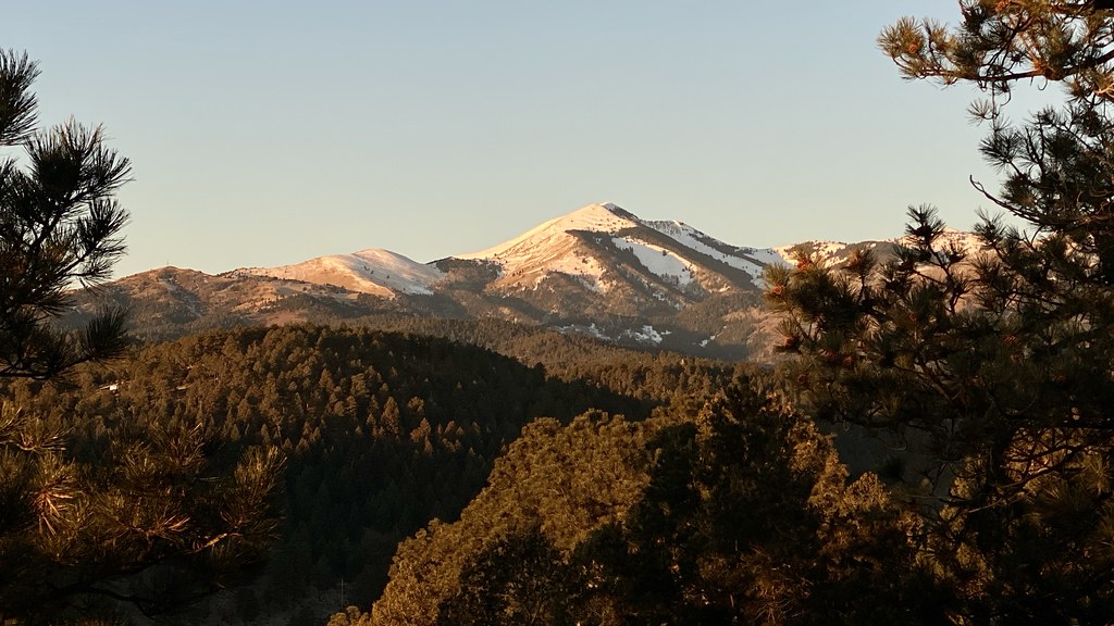 Alto Eagle Creek TrailHikingPhoto: joncutrer, CC BY 2.0 (via Flickr)0.3 mi
- Rio RuidosoCanoeing0.5 mi
- Alto Lake BouldersRock climbing0.8 mi
- Plan B BoulderRock climbing0.8 mi
- Alex Davis Memorial BoulderRock climbing1.9 mi
Source: Roamze catalog (indexable pages within 2 miles of the route, PostGIS distance)
