Camp May
Campground
Campground · 3.7 mi from the trail
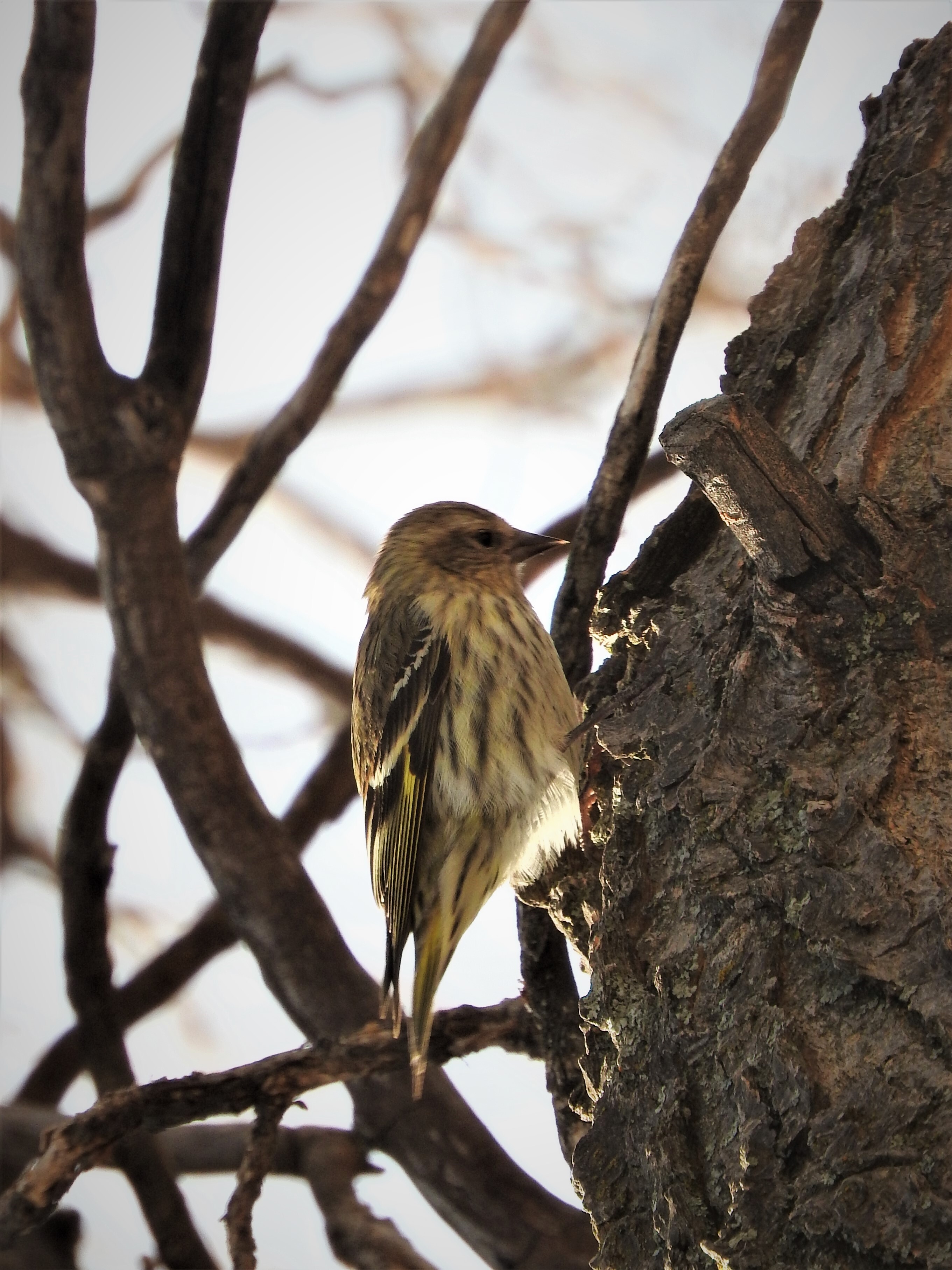 Photo: NPS/Eric Grumwald
Clear at last check
Weather is good · OpenWeather · checked 13 h ago
No closures listed
The National Park Service lists no closures for Valles Caldera National Preserve.
As of · Source: NPS · Valles Caldera National Preserve. Agencies don't list every closure — check before you go.
This site, near the South Valle Grande Trailhead along NM State Route 4, is predominantly mixed conifer forest and woodland (both dry and moist mesic). Prevalent plant species include blue spruce and ponderosa pine, fox tail, wildflowers, and yarrow. Watch for these birds each season: • Winter: Dark eyed junco • Spring: Northern flicker • Summer: Pine siskin • Fall: House finch Este sitio, cerca del inicio del sendero South Valle Grande Trailhead, junto a la carretera estatal NM 4, está compuesto principalmente por bosques mixtos de coníferas y bosques (tanto secos como húmedos mesófilos). Las especies vegetales predominantes incluyen el abeto azul y el pino ponderosa, la cola de zorro, las flores silvestres y la milenrama. Esté atento a estas aves en cada estación: • Invierno: Junco Ojioscuro • Primavera: Carpintero Escapulario • Verano: Jilguero de Los Pinos • Otoño: Camachuelo Mexicano
Camp May
Campground
Places © OpenStreetMap contributors
More in Santo Domingo PuebloNot on Roamze yet. Their page has how to reach them.
Best months: May–June and September. Best months have typical highs of 55–85 °F, lows of 30 °F or warmer (32 °F where the station doesn't record snow), at most one snowy day and no more than 12 wet days.
Jan
36° / 9°
9 wet
Feb
38° / 12°
9 wet
Mar
44° / 20°
9 wet
Apr
52° / 25°
8 wet
May
62° / 32°
8 wet
Jun
72° / 39°
8 wet
Jul
74° / 45°
15 wet
Aug
71° / 43°
15 wet
Sep
66° / 35°
11 wet
Oct
57° / 26°
7 wet
Nov
45° / 17°
6 wet
Dec
36° / 9°
9 wet
Typical high / low (°F) and days with rain or snow, 1991–2020. Measured at Los Alamos 13 W, NM, 5 mi away at 8,716 ft. This station doesn't record snowfall. Source: NOAA NCEI U.S. Climate Normals 1991–2020.
 Photo: Paul and Jill, CC BY 2.0 (via Flickr)
Valle Grande Trail
Next door
1.98-mile out-and-back trail in New Mexico with 570 ft elevation gain.
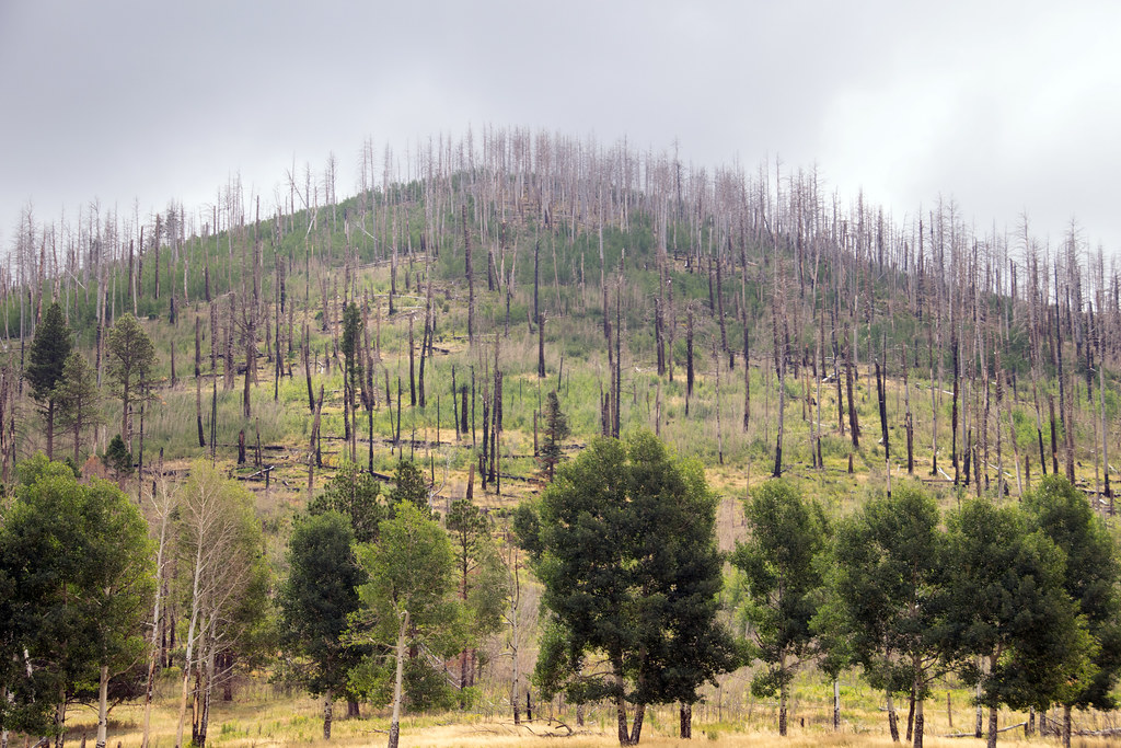 Photo: Paul and Jill, CC BY 2.0 (via Flickr)
Coyote Call Trail
~3 min drive
2.86-mile loop trail in New Mexico with 1,009 ft gain and 9,237 ft max elevation.
HIKE
Cerro La Jara Stop 2
~6 min drive
As you walked, you probably noticed that you are walking in a large valley and there are rounded hills or mountains in the distance, behind you, and to your right. You are walking in a volcanic caldera – a depression formed during a volcanic eruption. This caldera was formed…
HIKE
Alamo Spring
~3 min drive
10.51-mile out-and-back trail in New Mexico with 355 ft elevation gain.
 Photo: Paul and Jill, CC BY 2.0 (via Flickr)
Rabbit Ridge Trail
~3 min drive
2.12-mile out-and-back trail in New Mexico with 836 ft gain and 9,550 ft max elevation.
HIKE
Cerro Grande Route
~1 min drive
Cerro Grande Route is a 4.58-mile out-and-back trail in New Mexico with 1,241 ft of elevation gain.
HIKE
Birding By Car Stop 4
~6 min drive
At the entrance station, we are surrounded by montane grasslands. Across the road is a small, forested lava dome called Cerro La Jara. If you're looking for a short hike with lots of wildlife watching opportunities, there's a wonderful 1.4-mile loop trail around the lava dome.…
HIKE
Valle Trail (289)
~4 min drive
5.70-mile out-and-back trail in New Mexico with 1,179 ft of elevation gain.
 Photo: Ken Lund from Reno, Nevada, USA, CC BY-SA 2.0 (via Wikimedia Commons)
Valle Trail
~4 min drive
0.22-mile out-and-back trail in New Mexico with 31 ft of elevation gain.
HIKE
Sawyer Mesa Ski Trail
~2 min drive
6.52-mile out-and-back ski trail in New Mexico with 749 ft gain/loss
