Loading…

Free — you'll pick up right here.
Watch this trail
Sign up to watch it — saving subscribes you to gate, closure and report changes.
New Mexico
0.2 mi
Distance
31 ft
Gain
We won't guess. Here is exactly what we do and don't know.
What we do know
Inside Valles Caldera National Preserve
National Park unit boundary is mapped — agency alerts for it feed this page automatically.
Boundary data
What's missing
No access route mapped
We don't yet know which road reaches this trailhead, so we can't tell you if it's gated.
Nobody's filed a report here yet — be the first.
Why you'll love it
Valle Trail
AI-suggested draft · review before you go
No permit or access details on file for this trail — check with the local land manager before you go.
Valle Trail is a short and accessible walk perfect for families and casual hikers exploring the New Mexico landscape. This brief 0.22-mile trail offers a gentle introduction to the region's terrain with minimal elevation change, making it ideal for a quick nature stroll or warm-up hike.
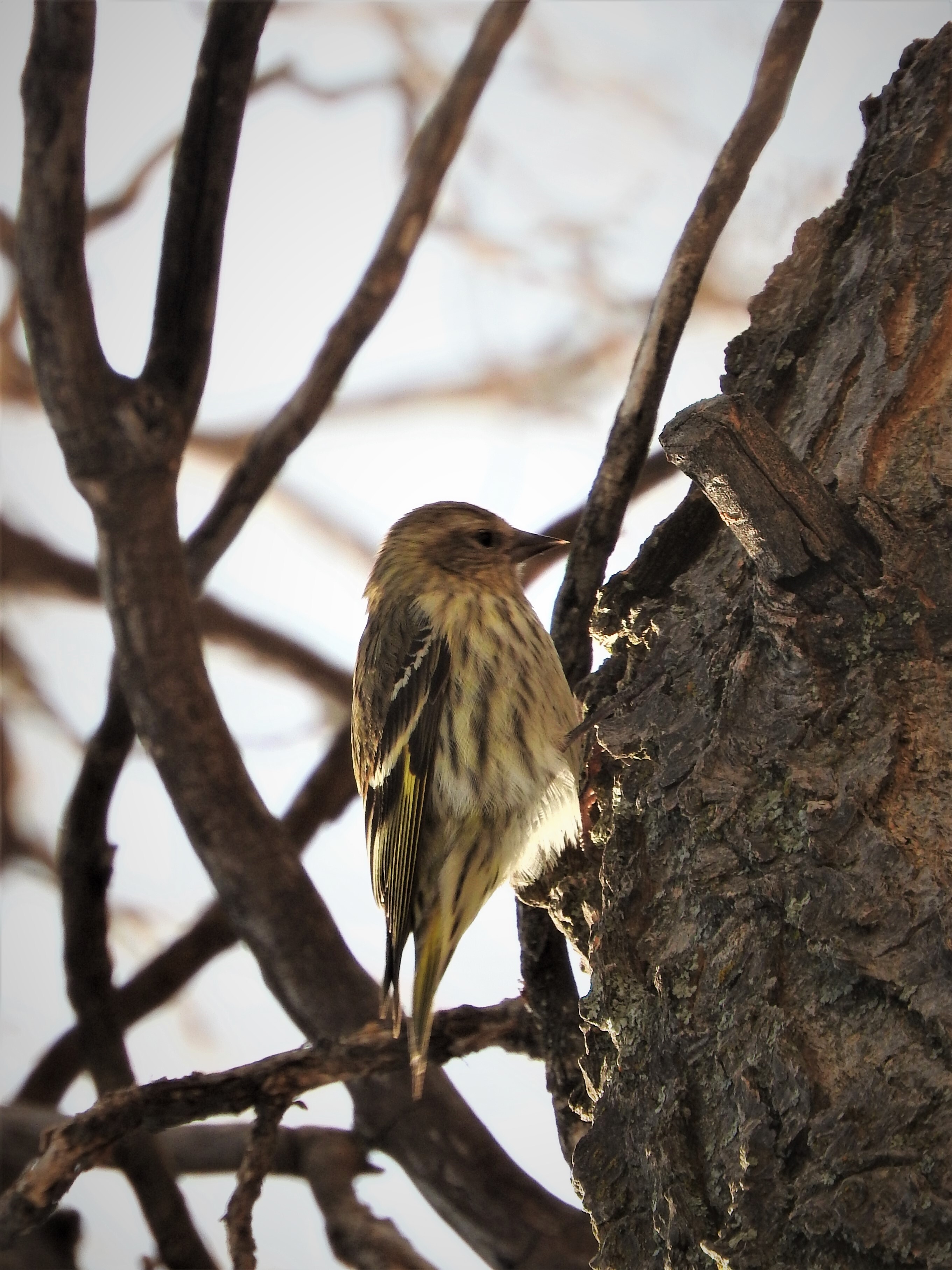
Birding By Car Stop 1
~4 min drive
This site, near the South Valle Grande Trailhead along NM State Route 4, is predominantly mixed conifer forest and woodland (both dry and moist mesic). Prevalent plant species include blue spruce and ponderosa pine, fox tail, wildflowers, and yarrow. Watch for these birds each…
Pajarito Nordic
~5 min drive
Accessible high-altitude loop through Pajarito Plateau forests and meadows.
Quemazon Trail
~6 min drive
12.57-mile moderate hike through New Mexico high desert with 701 ft elevation gain.
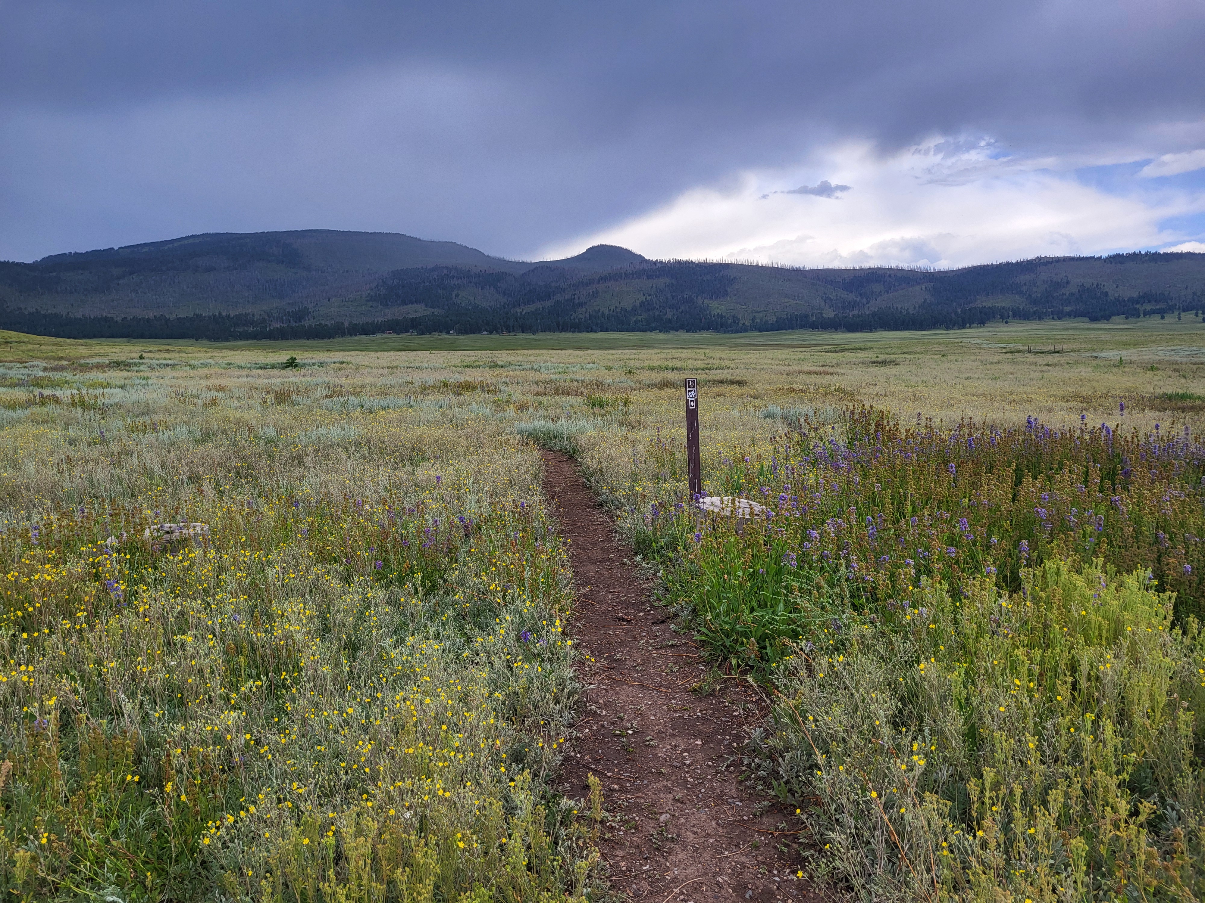
Cerro La Jara Stop 1
~7 min drive
<p>Welcome to the Cerro La Jara Trail in Valles Caldera National Preserve. This trail is about 1.5 miles (2.4 km) long and will likely take 1 to 2 hours to complete. The elevation change is small – about 50 feet. Leashed pets are permitted on this trail, but please ensure that…
Guaje Canyon
~8 min drive
Moderate canyon hike with steady elevation gain near Los Alamos.
Alamo Spring
~7 min drive
Moderate 10.51-mile high desert trail to Alamo Spring with gentle elevation gain.
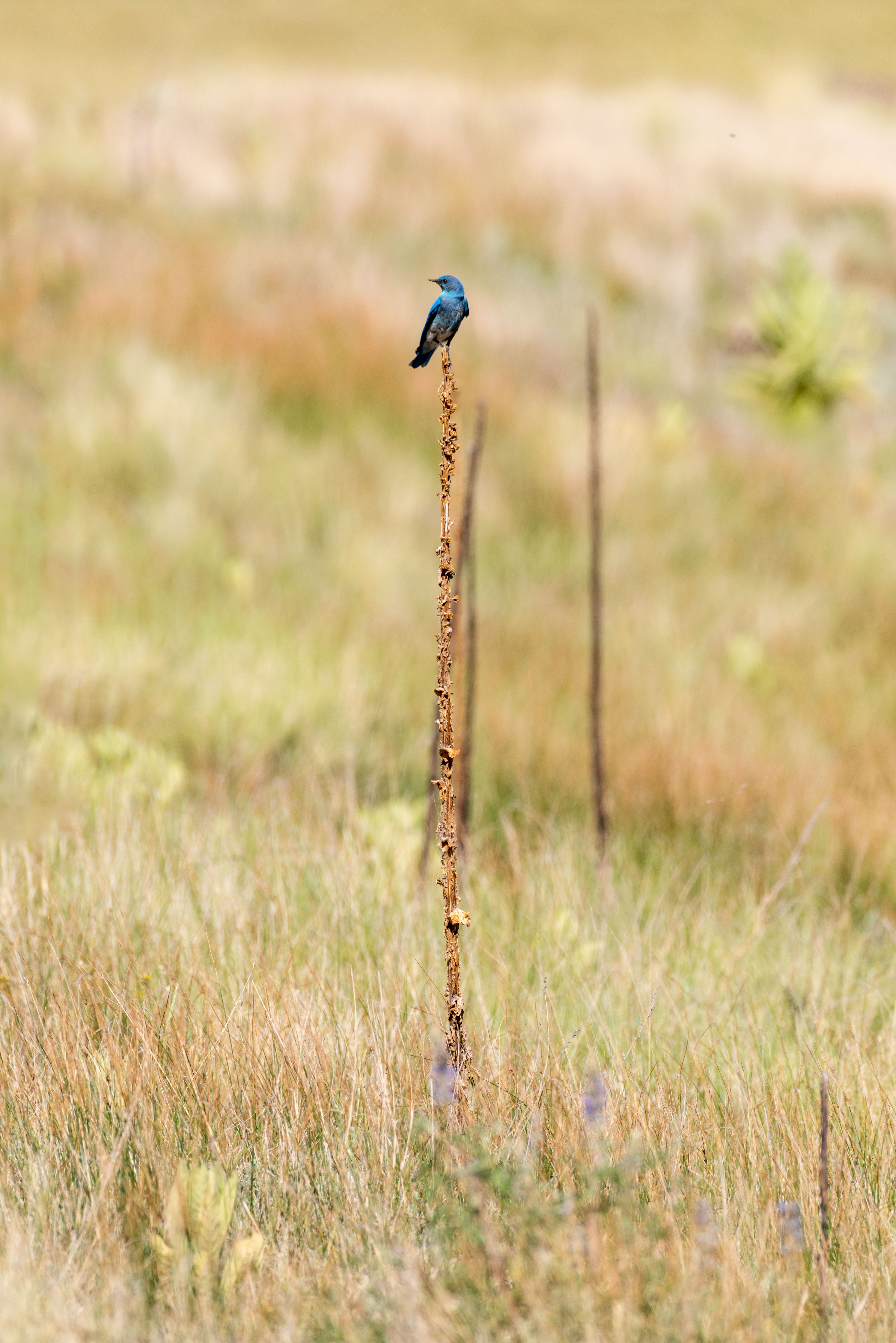
Birding By Car Stop 4
~7 min drive
At the entrance station, we are surrounded by montane grasslands. Across the road is a small, forested lava dome called Cerro La Jara. If you're looking for a short hike with lots of wildlife watching opportunities, there's a wonderful 1.4-mile loop trail around the lava dome.…
Guaje Ridge
~7 min drive
Scenic 10.4-mile ridge hike with steady elevation gain and panoramic mountain views.
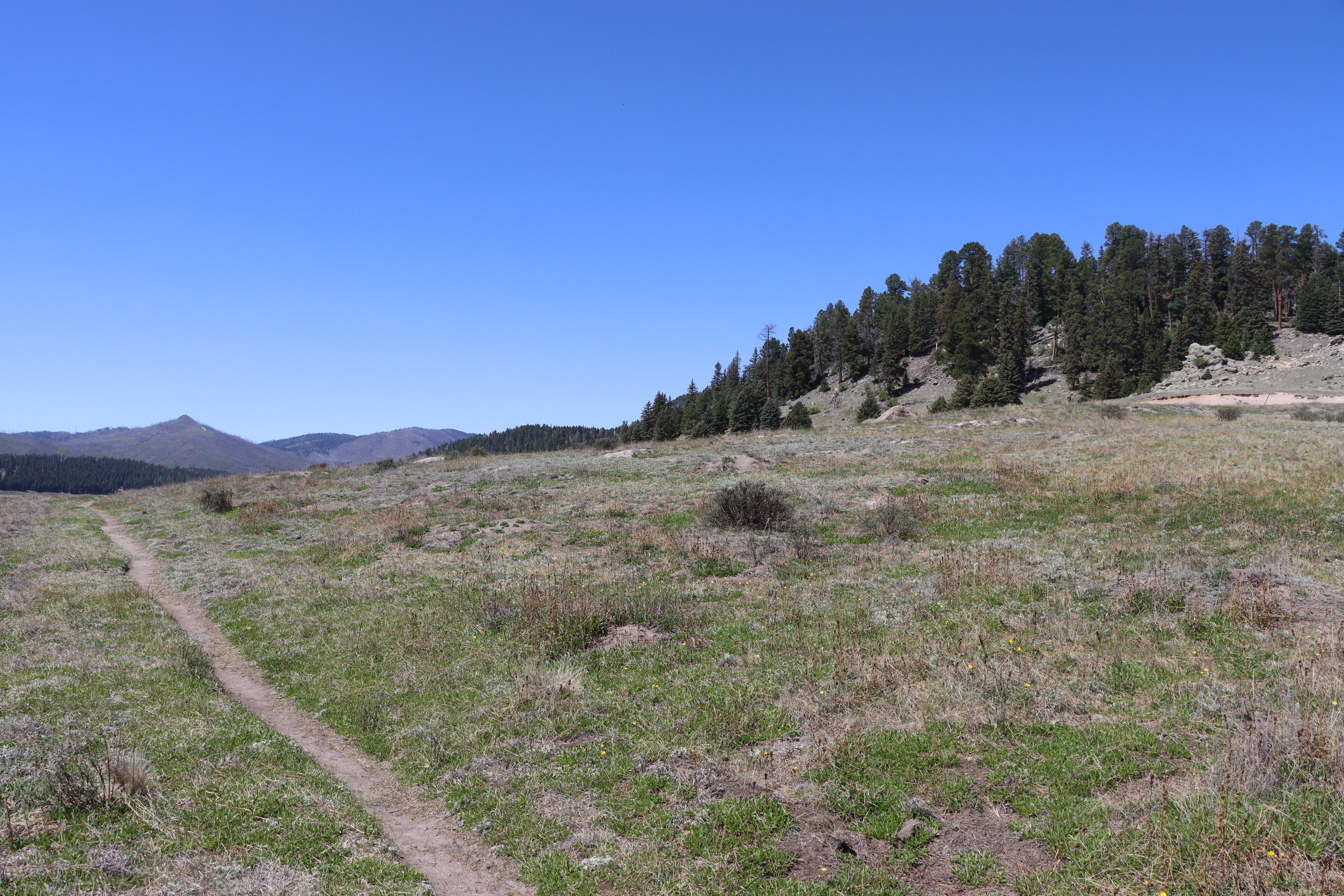
Cerro La Jara Stop 2
~7 min drive
<p>As you walked, you probably noticed that you are walking in a large valley and there are rounded hills or mountains in the distance, behind you, and to your right. You are walking in a volcanic caldera – a depression formed during a volcanic eruption. This caldera was forme…
Pajarito Canyon
~8 min drive
Moderate 7.69-mile canyon hike with 2,640 ft elevation gain near Pajarito.
