 Photo: Dicklyon, CC BY-SA 4.0 (via Wikimedia Commons)
Paddling · 72 spots
Featured spots
Photo: Dicklyon, CC BY-SA 4.0 (via Wikimedia Commons)Canoeing
Chaco River
Bloomfield, New Mexico
 Photo: Alan Gross, CC BY-SA 3.0 (via Wikimedia Commons)
Canoeing
Cimarron River
Cimarron, New Mexico
 Photo: Jeffrey Beall, CC BY 4.0 (via Wikimedia Commons)
Canoeing
Costilla Creek
Amalia, New Mexico
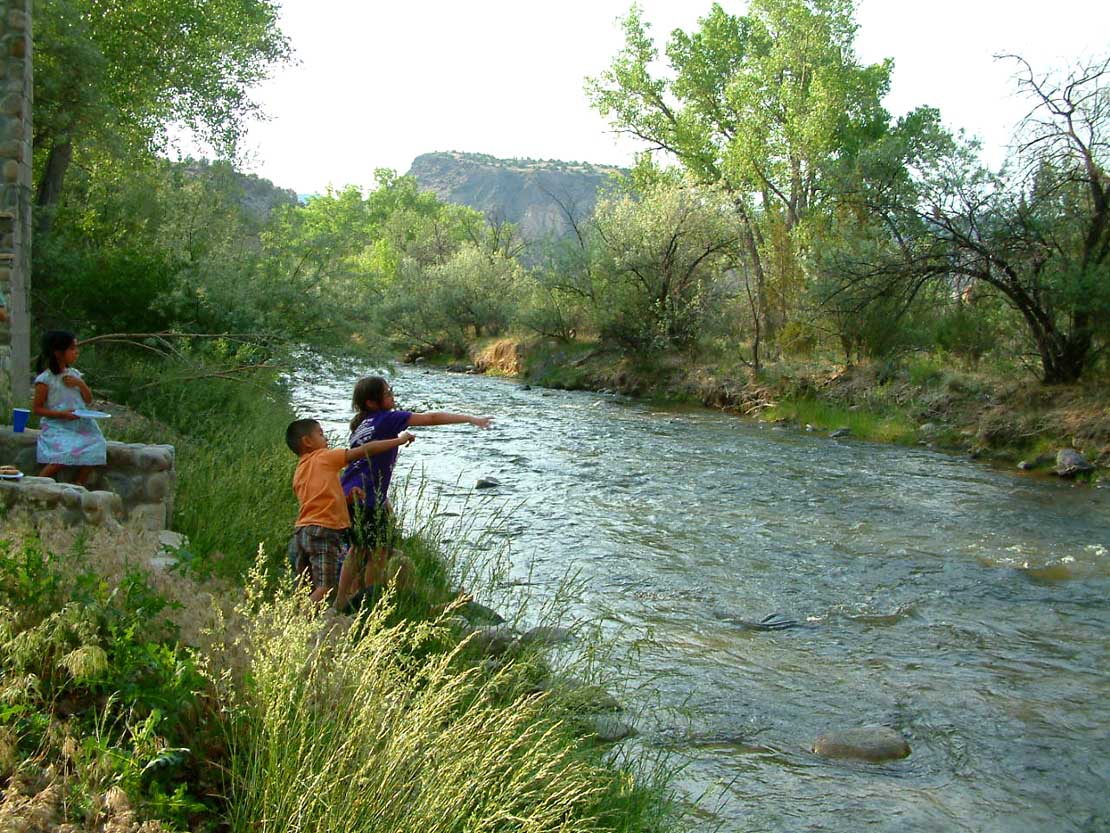 Photo: Carptrash, CC BY-SA 3.0 (via Wikimedia Commons)
Canoeing
Embudo Creek
Embudo, New Mexico
 Photo: Sharon Phelan Evans, CC BY-SA 3.0 (via Wikimedia Commons)
Canoeing
Jemez River
Jemez Pueblo, New Mexico
All spots · 72 spots

Canoeing
Amargo Creek
Dulce, New Mexico

Canoeing
Arroyo del Macho
Capitan, New Mexico

Canoeing
Beaver Creek
Datil, New Mexico

Boat launch
Big Eddy Access
New Mexico
Canoeing
Blanco Wash
Bloomfield, New Mexico
Boat launch
Boat Ramp at Snow Lake Boat Launch
New Mexico
Boat launch
Chavez Canyon Boating Site
New Mexico

Canoeing
Chicorica Creek
Raton, New Mexico
Canoeing
Cieneguilla Creek
Angel Fire, New Mexico
Canoeing
Conchas River
Garita, New Mexico
Canoeing
Corrumpa Creek
Des Moines, New Mexico
Boat launch
County Line Boat Launch
New Mexico
Canoeing
Coyote Creek
Guadalupita, New Mexico
Boat launch
Cutter Reservoir Boat Launch
New Mexico
Canoeing
Dry Cimarron River
Des Moines, New Mexico
Canoeing
East Fork Gila River
Datil, New Mexico
Canoeing
Gallinas River
Las Vegas, New Mexico
Boat launch
John Dunn Bridge Boat Launch
New Mexico
Canoeing
La Cinta Creek
Solano, New Mexico
Boat launch
Lake Roberts Boat Launch
New Mexico
Boat launch
Lone Juniper Boat Takeout
New Mexico
Canoeing
Manuelitas Creek
Sapello, New Mexico
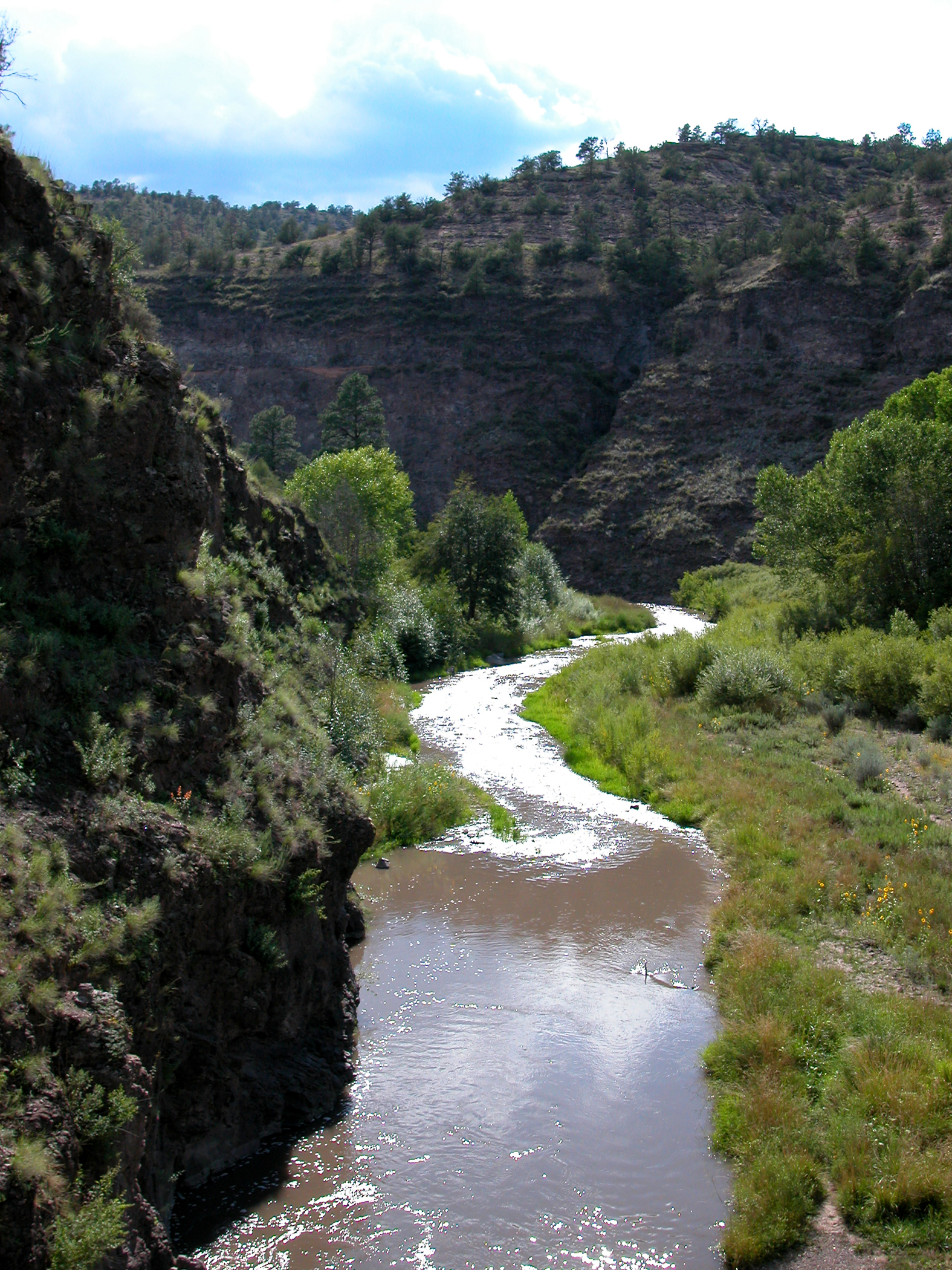 Photo: Joe Burgess, Public domain (via Wikimedia Commons)
Canoeing
Middle Fork Gila River
Datil, New Mexico
 Photo: Rafael Moreno (Flikr user moreno415), CC BY 2.0 (via Wikimedia Commons)
Canoeing
Mimbres River
San Lorenzo, New Mexico
Keep exploring — more water worth the drive
 Photo: Dicklyon, CC BY-SA 4.0 (via Wikimedia Commons)
Santa Cruz River
~1h 3m drive
Santa Cruz River is a 9.2-mile paddling stretch near La Puebla, New Mexico. It is intermittent and may run dry in some seasons. USGS models an average flow of about 34 cfs and a gradient of about 70.2 feet per mile. Land along it is managed by the Bureau of Land Management.
Photo: Sharon Phelan Evans, CC BY-SA 3.0 (via Wikimedia Commons)Jemez River
~1h 8m drive
Jemez River is a 27-mile paddling stretch near Jemez Pueblo, New Mexico. It is intermittent and may run dry in some seasons. USGS models an average flow of about 241 cfs and a gradient of about 47.4 feet per mile.
 Photo: John Fowler from Placitas, NM, USA, CC BY 2.0 (via Wikimedia Commons)
Rio Guadalupe
~1h 22m drive
Rio Guadalupe is a 14-mile paddling stretch near Jemez Pueblo, New Mexico. It is intermittent and may run dry in some seasons. USGS models an average flow of about 56 cfs and a gradient of about 110.4 feet per mile. Land along it is managed by the U.S. Forest Service.
Santa Cruz Lake Boat Ramp
~1h 3m drive
A worthwhile stop near New Mexico.
Manuelitas Creek
~1h 16m drive
Manuelitas Creek is a 19-mile paddling stretch near Sapello, New Mexico. It flows year-round. USGS models an average flow of about 55 cfs and a gradient of about 50.9 feet per mile.
Also worth it near here
 Photo: Unknown authorUnknown author or not provided, Public domain (via Wikimedia Commons)
Mount Chalchihuitl
~11 min drive
 Photo: BFS Man from Webster, TX, USA, CC BY 2.0 (via Wikimedia Commons)
Spur Trail Connector
~18 min drive
Apache Canyon (a.k.a. Grasshopper Canyon) Bouldering
~23 min drive
Saint John's Trail (174)
~27 min drive
Lake Tank
~29 min drive
