Amargo Creek
- 31.8 mi
- distance
- 7,716 ft
- high point
- May–Jun, Sep
- best months
Amargo Creek is a 32-mile paddling stretch near Dulce, New Mexico. It is intermittent and may run dry in some seasons. USGS models an average flow of about 36 cfs and a gradient of about 35.8 feet per mile.
Local outfitters
- Wilderness Journeys Pagosa25 mi away
Not on Roamze yet. Their page has how to reach them.
 Rio BlancoCanoeing · ~33 min drivePhoto: Dicklyon, CC BY-SA 4.0 (via Wikimedia Commons)
- Trujillo Meadows Boating SiteBoat launch · ~45 min drive
 Navajo RiverCanoeing · ~34 min drivePhoto: Dicklyon, CC BY-SA 4.0 (via Wikimedia Commons)
- Navajo State Park Boat RampBoat launch · ~49 min drive
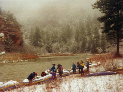 Rio ChamaCanoeing · ~34 min drivePhoto: Public domain (via Wikimedia Commons)
- Platoro Reservoir Boating SiteBoat launch · ~1h 1m drive
 San Juan RiverCanoeing · ~48 min drivePhoto: Kkaufman11 at English Wikipedia, Public domain (via Wikimedia Commons)
- Chavez Canyon Boating SiteBoat launch · ~1h 9m drive
 East Fork San Juan RiverCanoeing · ~57 min drivePhoto: Dicklyon, CC BY-SA 4.0 (via Wikimedia Commons)
- Shaw Lake Boating SiteBoat launch · ~1h 16m drive
Best time to visit Amargo Creek
Best months: May–June and September. Best months have typical highs of 55–85 °F, lows of 30 °F or warmer (32 °F where the station doesn't record snow), at most one snowy day and no more than 12 wet days.
Jan
44° / 10°
7 wet
Feb
48° / 16°
8 wet
Mar
57° / 22°
8 wet
Apr
64° / 27°
7 wet
May
74° / 34°
7 wet
Jun
84° / 41°
6 wet
Jul
88° / 50°
11 wet
Aug
85° / 49°
13 wet
Sep
79° / 41°
9 wet
Oct
68° / 29°
7 wet
Nov
54° / 20°
6 wet
Dec
44° / 12°
8 wet
Typical high / low (°F) and days with rain or snow, 1991–2020. Measured at Dulce, NM, 5.4 mi away at 6,793 ft. The station sits about 900 ft lower than this place, so expect it a little cooler here. This station doesn't record snowfall. Source: NOAA NCEI U.S. Climate Normals 1991–2020.
