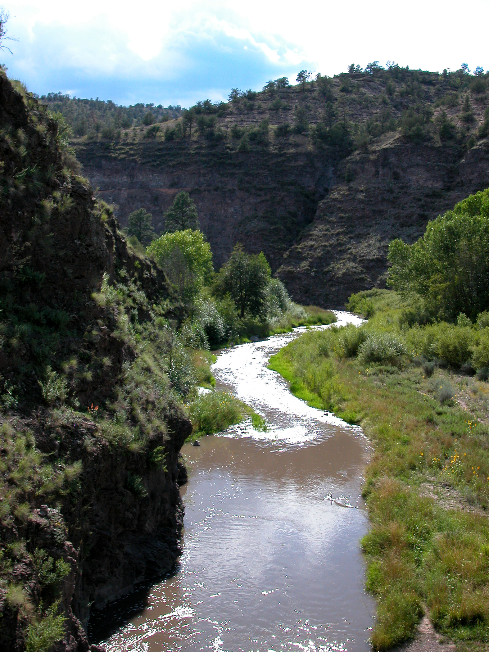
 Photo: Joe Burgess, Public domain (via Wikimedia Commons)
Paddling · 3 spots
Featured spots

All spots · 3 spots
No additional spots match this filter.
Keep exploring — more water worth the drive
 Photo: Chris M Morris, CC BY 2.0 (via Wikimedia Commons)
West Fork Gila River
~17 min drive
West Fork Gila River is a 33-mile paddling stretch near Glenwood, New Mexico. It is ephemeral and may run dry in some seasons. USGS models an average flow of about 81 cfs and a gradient of about 70.0 feet per mile. Land along it is managed by the U.S. Forest Service.
 Photo: Rafael Moreno (Flikr user moreno415), CC BY 2.0 (via Wikimedia Commons)
Mimbres River
~1h 6m drive
Mimbres River is a 59-mile paddling stretch near San Lorenzo, New Mexico. It is ephemeral and may run dry in some seasons. USGS models an average flow of about 45 cfs and a gradient of about 61.8 feet per mile.
Photo: Joe Burgess, Public domain (via Wikimedia Commons)Middle Fork Gila River
~14 min drive
Middle Fork Gila River is a 37-mile paddling stretch near Datil, New Mexico. It is ephemeral and may run dry in some seasons. USGS models an average flow of about 57 cfs and a gradient of about 44.4 feet per mile. Land along it is managed by the U.S. Forest Service.
East Fork Gila River
~10 min drive
East Fork Gila River is a 28-mile paddling stretch near Datil, New Mexico. It flows year-round. USGS models an average flow of about 52 cfs and a gradient of about 26.0 feet per mile. Land along it is managed by the U.S. Forest Service.
Beaver Creek
~12 min drive
Beaver Creek is a 12-mile paddling stretch near Datil, New Mexico. It is ephemeral and may run dry in some seasons. USGS models an average flow of about 31 cfs and a gradient of about 37.3 feet per mile. Land along it is managed by the U.S. Forest Service.
Boat Ramp at Snow Lake Boat Launch
~32 min drive
Boat Ramp at Snow Lake Boat Launch is a boat launch in New Mexico.
Lake Roberts Boat Launch
~34 min drive
A worthwhile stop near New Mexico.
Tularosa River
~1h 11m drive
Tularosa River is a 38-mile paddling stretch near Reserve, New Mexico. It is ephemeral and may run dry in some seasons. USGS models an average flow of about 42 cfs and a gradient of about 35.1 feet per mile. Land along it is managed by the U.S. Forest Service.
San Francisco River
~1h 18m drive
San Francisco River is a 93-mile paddling stretch near Glenwood, New Mexico. It is ephemeral and may run dry in some seasons. USGS models an average flow of about 116 cfs and a gradient of about 43.8 feet per mile. Land along it is managed by the U.S. Forest Service.
Mogollon Creek
~42 min drive
Mogollon Creek is a 27-mile paddling stretch near Cliff, New Mexico. It is ephemeral and may run dry in some seasons. USGS models an average flow of about 34 cfs and a gradient of about 98.0 feet per mile. Land along it is managed by the U.S. Forest Service.

