Rock Oak Trail
 Photo: Nicholas A. Tonelli from Pennsylvania, USA, CC BY 2.0 (via Wikimedia Commons)
- 1.5 mi
- one way
- 152 ft
- climb
- 1,351 ft
- high point
- Point to point
- route
- Apr–Oct
- best months
Rock Oak Trail is a short, easy hike in New Jersey, about 1.8 miles from the town of Four Corners. The trail is a point-to-point route of roughly 1.5 miles, with a total elevation gain of 152 feet and a high point of about 1,351 feet. The climb is gentle, with the steepest stretch at about 0.84 miles in, and the trail is open to both horses and bikes. Late spring and early fall are the most comfortable times to go. Typical averages from a nearby weather station run from highs around 69°F in May to about 73°F in September, with July the warmest month at about 82°F. That station sits roughly 330 feet lower than the trail's high point, so temperatures on the higher ground run a little cooler. The hike takes about half an hour. Parker Trail is about 1.8 miles away, and Deep Root Trail and Criss Trail are each about 2.5 miles off. High Point State Park, a climbing area, is about 4.7 miles away.
Best time to go · Apr–Oct
Best time to visit Rock Oak Trail
Best months: April–October. Best months have typical highs of 55–85 °F, lows of 30 °F or warmer (32 °F where the station doesn't record snow), at most one snowy day and no more than 12 wet days.
Jan
35° / 18°
Feb
37° / 19°
Mar
46° / 27°
Apr
59° / 38°
May
69° / 48°
Jun
77° / 57°
Jul
82° / 62°
Aug
81° / 61°
Sep
73° / 53°
Oct
62° / 42°
Nov
49° / 33°
Dec
39° / 24°
Typical high / low (°F) and days with rain or snow, 1991–2020. Measured at Sussex 8 Nnw, NJ, 6.6 mi away at 1,020 ft. This station doesn't record snowfall. Source: NOAA NCEI U.S. Climate Normals 1991–2020.
Keep exploring — more trails worth the drive
 Photo: j-dub1980(THANK YOU FOR 100k+ Views), CC BY-SA 2.0 (via Flickr)
Swenson Trail
~5 min drive
0.84-mile point-to-point trail in New Jersey with 117 ft elevation gain.
HIKE
Blue Mountain Loop Trail
~6 min drive
A 16.43-mile point-to-point mountain trail in New Jersey.
HIKE
Cliff Trail
~8 min drive
2.24-mile lollipop trail in Pennsylvania with 1,004 ft gain and 1,101 ft loss.
Photo: j-dub1980(THANK YOU FOR 100k+ Views), CC BY-SA 2.0 (via Flickr)Geology Trail
~6 min drive
1.4-mile out-and-back hike in New Jersey with 201 ft elevation gain.
Photo: j-dub1980(THANK YOU FOR 100k+ Views), CC BY-SA 2.0 (via Flickr)Tinsley Trail
~7 min drive
1.99-mile point-to-point trail in New Jersey with 371 ft elevation gain.
 Photo: Beyond My Ken, CC BY-SA 4.0 (via Wikimedia Commons)
Life Trail
~7 min drive
0.75-mile point-to-point trail in New Jersey with 8 ft gain and 93 ft loss.
 Photo: Jag9889, CC BY-SA 4.0 (via Wikimedia Commons)
Milford Knob Trail
~8 min drive
2.5-mile out-and-back trail in Pennsylvania with 849 ft elevation gain.
Photo: Beyond My Ken, CC BY-SA 4.0 (via Wikimedia Commons)Mashipacong Trail
~8 min drive
2.55-mile point-to-point trail in New Jersey with 338 ft elevation gain.
 Photo: Tainanian, CC BY 2.0 (via Flickr)
Iris Trail
~8 min drive
A 4.25-mile point-to-point New Jersey trail through woodland terrain.
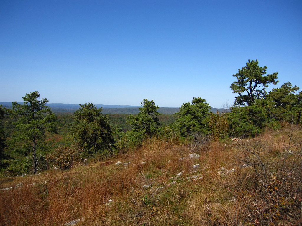 Photo: cm195902, CC BY 2.0 (via Flickr)
Stony Brook Trail
~8 min drive
A 2.22-mile point-to-point creek-side hike through New Jersey woodland.
Map and trail data © OpenStreetMap contributors
