Field Edge Trail
- 1.2 mi
- loop
- 104 ft
- climb
- 313 ft
- high point
- Loop
- route
- Apr–Oct
- best months
Field Edge Trail is a short, easy hike in Delaware and Raritan Canal State Park in New Jersey, managed by the State Department of Natural Resources. The trail is about 1.2 miles long, with a total elevation gain of 104 feet, and it rises from roughly 272 feet to about 313 feet before descending slightly. The route is gentle, with the steepest stretch at about 0.9 miles in, where the grade reaches about 7%. Horses are allowed, so the trail works for riders as well as hikers. Late spring and early fall are the most comfortable times to go. Typical averages from a nearby weather station in Bucksville, Pennsylvania, show May highs around 72°F and September highs around 76°F, with July the warmest month at about 85°F. The trail sits close to several other routes. The Orange Trail is about 0.1 mile away, the White Trail about 0.3 mile, and the Yellow Trail about 0.4 mile. Climbers can find the r. Far Face area about 4.9 miles away across the state line in Pennsylvania.
Local outfitters
- Bartram's Garden40 mi away
Not on Roamze yet. Their page has how to reach them.
- Orange TrailHiking0.1 mi
- White TrailHiking0.3 mi
- Yellow TrailHiking0.4 mi
- Blue TrailHiking0.6 mi
- r. Far FaceRock climbing4.9 mi
- p. Obnoxious PartnerRock climbing4.9 mi
 o. Chain Reaction ButtressRock climbingPhoto: Andrew Gnias, CC BY-SA 4.0 (via Wikimedia Commons)4.9 mi
- m. Noncensus AreaRock climbing4.9 mi
Source: Roamze catalog (indexable pages within 10 miles, PostGIS distance)
 Orange TrailHiking · ~2 min drivePhoto: Jazz Guy from New Jersey, United States, CC BY 2.0 (via Wikimedia Commons)
- White TrailHiking · Next door
 Red TrailHiking · ~2 min drivePhoto: Jazz Guy from New Jersey, United States, CC BY 2.0 (via Wikimedia Commons)
- Chief Running Deer TrailHiking · ~10 min drive
- Green TrailHiking · ~2 min drivePhoto: Jazz Guy from New Jersey, United States, CC BY 2.0 (via Wikimedia Commons)
- RoadHiking · ~13 min drive
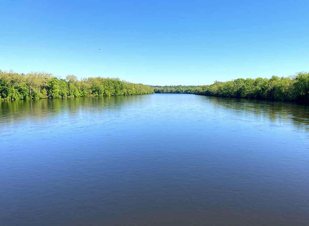 Yellow TrailHiking · ~2 min drivePhoto: Delaware River Basin Commission (DRBC), CC BY 2.0 (via Flickr)
 Mill Race TrailHiking · ~3 min drivePhoto: Jazz Guy from New Jersey, United States, CC BY 2.0 (via Wikimedia Commons)
 Mink TrailHiking · ~15 min drivePhoto: michaelwm25, CC BY 3.0 (via Wikimedia Commons)
- Mink TrailHiking · ~15 min drivePhoto: michaelwm25, CC BY 3.0 (via Wikimedia Commons)
Best time to visit Field Edge Trail
Best months: April–October. Best months have typical highs of 55–85 °F, lows of 30 °F or warmer (32 °F where the station doesn't record snow), at most one snowy day and no more than 12 wet days.
Jan
38° / 19°
8 wet
Feb
41° / 20°
7 wet
Mar
50° / 28°
8 wet
Apr
63° / 38°
9 wet
May
72° / 49°
10 wet
Jun
80° / 58°
9 wet
Jul
85° / 63°
9 wet
Aug
82° / 61°
9 wet
Sep
76° / 54°
8 wet
Oct
65° / 42°
8 wet
Nov
54° / 31°
7 wet
Dec
43° / 25°
8 wet
Typical high / low (°F) and days with rain or snow, 1991–2020. Measured at Bucksville, PA, 8 mi away at 387 ft. This station doesn't record snowfall. Source: NOAA NCEI U.S. Climate Normals 1991–2020.
Map and trail data © OpenStreetMap contributors
