Valley Way Campsite
Campground
Campground · 1.0 mi from the trail
 Photo: John Hayes (gravelboy), CC BY 2.0 (via Flickr)
Closure in the area
There's a closure order in White Mountain National Forest. It doesn't name Lowe's Path, so check the source for the area it covers (3 listed).
Wild River Fire - Androscoggin Ranger District
Agency closure covering White Mountain National Forest · USFS · White Mountain National Forest
List of trail closures post-Hurricane Helene
Park closure covering Appalachian National Scenic Trail · NPS · Appalachian National Scenic Trail
Rattlesnake Fire – Pemigewasset Ranger District
Agency closure covering White Mountain National Forest · USFS · White Mountain National Forest
Black Bears Frequenting the McAfee Knob Area in Virginia
Park alert covering Appalachian National Scenic Trail · NPS · Appalachian National Scenic Trail
Town Hall Road Camping and Fire Restrictions
Agency alert covering White Mountain National Forest · USFS · White Mountain National Forest
As of · Source: USFS · White Mountain National Forest. Agencies don't list every closure — check before you go.
Lowe's Path is a hard hike in New Hampshire's White Mountain National Forest, within the Androscoggin Ranger District and along the Appalachian National Scenic Trail. The route is a point-to-point climb of about 4 miles, with a total elevation gain of 3,337 feet, and it starts at roughly 5,480 feet. The high point on the route reaches about 5,792 feet, and the climb is front-loaded, with the steepest stretch at the beginning. The trail is managed by the Forest Service, and the route is not open to bikes or horses. The most comfortable months for a visit are July and August, when typical averages from the nearby Mt Washington weather station run from a high of about 55°F to 54°F, with no snow days. Winter is harsh, with January highs around 15°F and snow on about 20 days a month. The trip takes about 3 hours. The Spur Trail starts just 0.1 mile away, and Great Gully is about 0.7 mile off. Osgood Tent Site offers camping about 2.2 miles away, and the WM: Pinkham / Presidentials climbing area is about 2.8 miles away.
Valley Way Campsite
Campground
The Glen House
Restaurant
 If it rainsKen Gallager, CC BY-SA 4.0 · Wikimedia Commons
Places © OpenStreetMap contributors · Photos: Ken Gallager, CC BY-SA 4.0 (commons)
More in North ConwayNo month here meets our mild-weather rule. Best months have typical highs of 55–85 °F, lows of 30 °F or warmer (32 °F where the station doesn't record snow), at most one snowy day and no more than 12 wet days.
Jan
15° / -3°
20 wet · 20 snow
Feb
15° / -3°
18 wet · 18 snow
Mar
21° / 5°
20 wet · 18 snow
Apr
31° / 17°
18 wet · 13 snow
May
42° / 30°
18 wet · 7 snow
Jun
51° / 40°
17 wet · 2 snow
Jul
55° / 44°
17 wet
Aug
54° / 43°
15 wet
Sep
49° / 37°
14 wet · 2 snow
Oct
38° / 25°
18 wet · 9 snow
Nov
28° / 13°
19 wet · 15 snow
Dec
20° / 3°
21 wet · 19 snow
Typical high / low (°F) and days with rain or snow, 1991–2020. Measured at Mt Washington, NH, 3.8 mi away at 6,267 ft. Source: NOAA NCEI U.S. Climate Normals 1991–2020.
 Photo: Ktr101, CC BY-SA 2.0 (via Flickr)
Spur Trail
Next door
Spur Trail is a 1.66-mile point-to-point trail in New Hampshire with 1,921 feet of elevation loss.
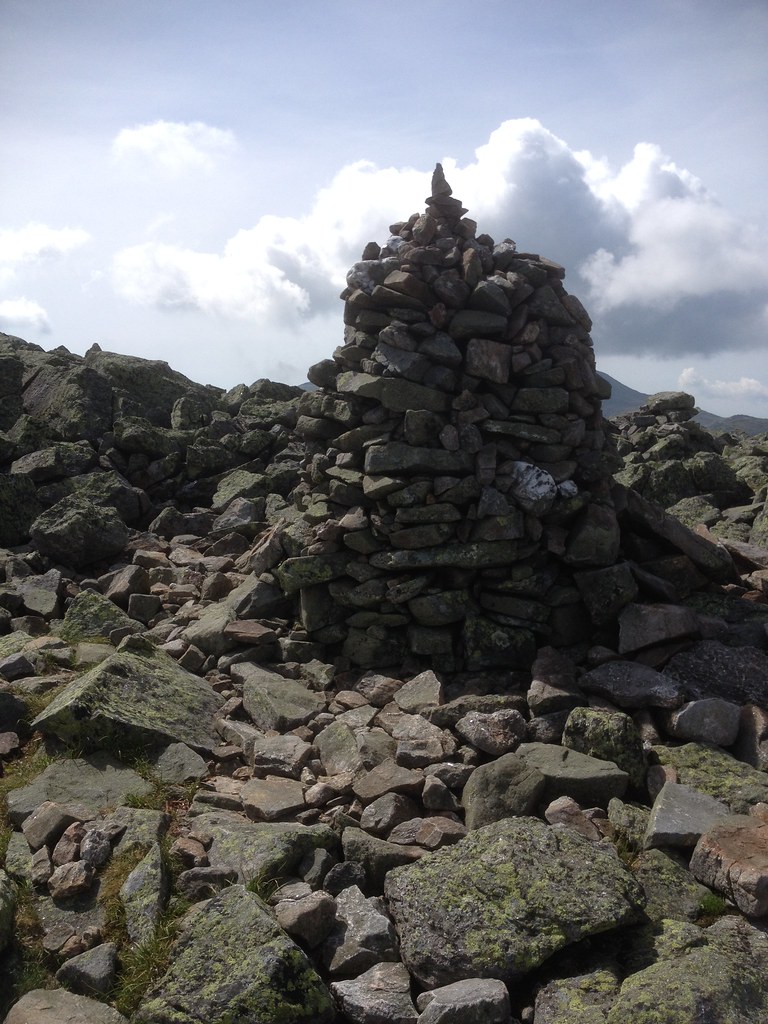 Photo: Ktr101, CC BY-SA 2.0 (via Flickr)
Adams Slide Trail
~2 min drive
0.82-mile point-to-point trail in New Hampshire with 2,099 ft of elevation gain.
 Photo: Ktr101, CC BY-SA 2.0 (via Flickr)
Mt Jefferson Loop
~2 min drive
1.25-mile out-and-back trail in New Hampshire with 505 ft gain.
 Photo: daveynin, CC BY 2.0 (via Flickr)
Buttress
~2 min drive
3.20-mile out-and-back trail in New Hampshire with 2,188 ft gain
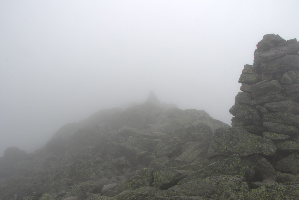 Photo: Ktr101, CC BY-SA 2.0 (via Flickr)
Daniel Webster-Scout
~2 min drive
6.42-mile out-and-back trail in New Hampshire with 423 ft gain and 3,935 ft loss.
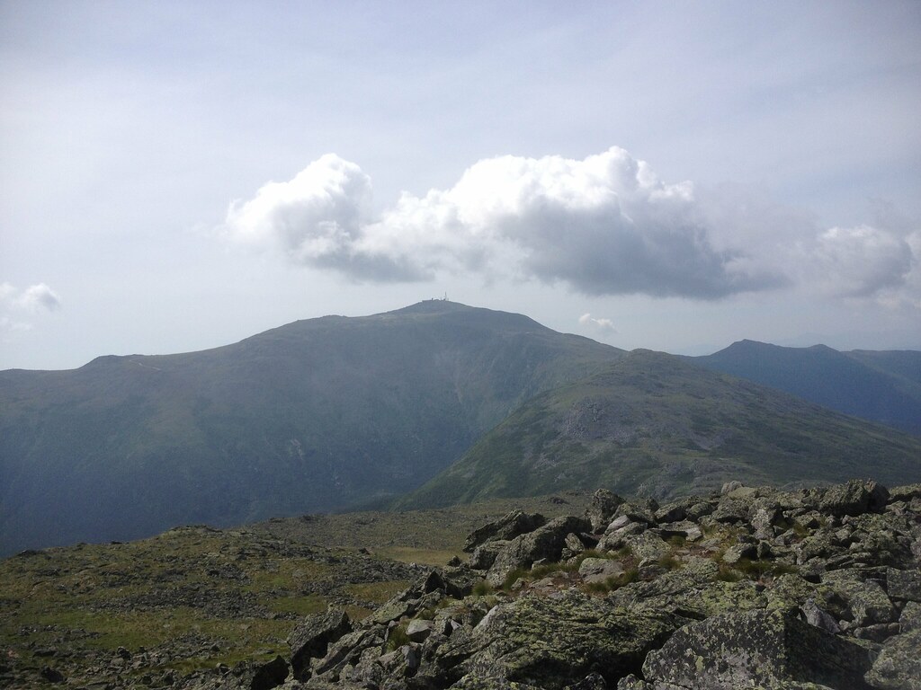 Photo: Ktr101, CC BY-SA 2.0 (via Flickr)
Castle Ravine Trail
~2 min drive
0.72-mile point-to-point trail in New Hampshire with 1,604 ft elevation gain.
Photo: Ktr101, CC BY-SA 2.0 (via Flickr)Cornice
~2 min drive
3.12-mile out-and-back trail in New Hampshire with 983 ft gain
Photo: Ktr101, CC BY-SA 2.0 (via Flickr)Watson Path
~3 min drive
2.74-mile out-and-back trail in New Hampshire with 2,199 ft elevation gain.
Photo: Ktr101, CC BY-SA 2.0 (via Flickr)Emerald
~2 min drive
Emerald is a 1.05-mile out-and-back trail in New Hampshire with 967 ft of elevation gain.
Photo: Ktr101, CC BY-SA 2.0 (via Flickr)Edmands Col
~2 min drive
Edmands Col is a 0.46-mile point-to-point trail in New Hampshire with 605 ft of elevation gain.
About 4.1 mi.
About 3,337 ft of climbing round trip.
It is rated hard.
About 2 hours round trip.
2: Lowe's Path and Lowes Path.
Daily highs and lows, wind and the chance of precipitation at the summit and route start for the next 7 days, from the Open-Meteo model.
Map and trail data © OpenStreetMap contributors

