Jericho Mountain State Park
 Photo: TimothyLev at English Wikipedia, Public domain (via Wikimedia Commons)
- May–Oct
- best months
Is Jericho Mountain State Park open right now?
Closure in the area
There's a closure order in White Mountain National Forest. It doesn't name Jericho Mountain State Park, so check the source for the area it covers (2 listed).
Wild River Fire - Androscoggin Ranger District
Agency closure covering White Mountain National Forest · USFS · White Mountain National Forest
Rattlesnake Fire – Pemigewasset Ranger District
Agency closure covering White Mountain National Forest · USFS · White Mountain National Forest
Town Hall Road Camping and Fire Restrictions
Agency alert covering White Mountain National Forest · USFS · White Mountain National Forest
Lincoln Woods Trail Closure
Agency alert covering White Mountain National Forest · USFS · White Mountain National Forest
Forest Roads Status
Agency alert covering White Mountain National Forest · USFS · White Mountain National Forest
As of · Source: USFS · White Mountain National Forest. Agencies don't list every closure — check before you go.
Jericho Mountain State Park sits in New Hampshire, about 1.4 miles from the town of Berlin. It lies within the Androscoggin Ranger District of the White Mountain National Forest, making it a convenient base for exploring the surrounding forest and its climbing and hiking routes. Summer is the most comfortable time to visit. Typical averages from a nearby weather station in Berlin show July highs around 78°F with lows near 55°F, while winter brings highs in the 20s and regular snow days from December through February. Several other destinations are close by. The Mount Forist and Madigan Area climbing areas are each about 2.9 miles away, and the Landing Camp hike is about 3 miles off. Paddlers can reach the Upper Ammonoosuc River, roughly 3.3 miles away.
Park size
7,725 acres
 Mount ForistRock climbingPhoto: Jon Platek, CC BY-SA 3.0 (via Wikimedia Commons)2.9 mi
- Madigan AreaRock climbingPhoto: Jon Platek, CC BY-SA 3.0 (via Wikimedia Commons)2.9 mi
- Landing CampHiking3 mi
 Cates Hill TrailHikingPhoto: Magicpiano, CC BY-SA 4.0 (via Wikimedia Commons)3.2 mi
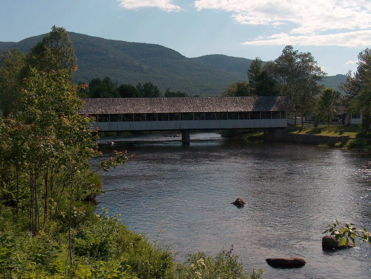 Upper Ammonoosuc RiverCanoeingPhoto: Ken Gallager at English Wikipedia, Public domain (via Wikimedia Commons)3.3 mi
- Rogers Ledge Tent SiteCamping7.3 mi
- Unknown Pond Tent SiteCamping7.8 mi
 Androscoggin RiverCanoeingPhoto: Mike Cline, CC BY-SA 3.0 (via Wikimedia Commons)9.8 mi
Source: Roamze catalog (indexable pages within 10 miles, PostGIS distance)
 Mount Washington State ParkState park · ~24 min drivePhoto: Malber, CC BY-SA 3.0 (via Wikimedia Commons)
 Grafton Notch State ParkState park · ~30 min drivePhoto: Peter and Kelly from Bellingham, WA, USA, CC BY-SA 2.0 (via Wikimedia Commons)
 Crawford Notch State ParkState park · ~37 min drivePhoto: Fredlyfish4, CC BY-SA 4.0 (via Wikimedia Commons)
 Dixville Notch State ParkState park · ~46 min drivePhoto: P199, CC BY-SA 3.0 (via Wikimedia Commons)
 Echo Lake State ParkState park · ~50 min drivePhoto: Jllm06, CC BY-SA 4.0 (via Wikimedia Commons)
 Franconia Notch State ParkState park · ~54 min drivePhoto: Stephen Sokolowski, CC BY-SA 3.0 (via Wikimedia Commons)
 Coleman State ParkState park · ~55 min drivePhoto: alans1948, CC BY 2.0 (via Wikimedia Commons)
 Brighton State ParkState park · ~1h 4m drivePhoto: lori05871 from Rural Vermont, USA, CC BY 2.0 (via Wikimedia Commons)
 Rangeley Lake State ParkState park · ~1h 11m drivePhoto: petersent, Public domain (via Wikimedia Commons)
 Sentinel Rock State ParkState park · ~1h 16m drivePhoto: User:Magicpiano, CC BY-SA 4.0 (via Wikimedia Commons)
Also worth it near here
 Jericho MountainSummit · ~3 min drivePhoto: Sirberlinnh, CC BY-SA 4.0 (via Wikimedia Commons)
- Jericho Mountain State Park Boat RampBoat launch · ~3 min drive
- Mount ForistRock climbing · ~5 min drivePhoto: Jon Platek, CC BY-SA 3.0 (via Wikimedia Commons)
- Cates Hill TrailHiking · ~5 min drivePhoto: Magicpiano, CC BY-SA 4.0 (via Wikimedia Commons)
- Upper Ammonoosuc RiverCanoeing · ~6 min drivePhoto: Ken Gallager at English Wikipedia, Public domain (via Wikimedia Commons)
Best time to visit Jericho Mountain State Park
Best months: May–October. Best months have typical highs of 55–85 °F, lows of 30 °F or warmer (32 °F where the station doesn't record snow), at most one snowy day and no more than 12 wet days.
Jan
27° / 5°
10 wet · 8 snow
Feb
30° / 6°
9 wet · 6 snow
Mar
38° / 16°
10 wet · 5 snow
Apr
52° / 29°
10 wet · 2 snow
May
65° / 41°
12 wet
Jun
74° / 50°
12 wet
Jul
78° / 55°
12 wet
Aug
77° / 52°
10 wet
Sep
70° / 45°
9 wet
Oct
57° / 35°
11 wet · 1 snow
Nov
44° / 26°
11 wet · 3 snow
Dec
32° / 14°
12 wet · 7 snow
Typical high / low (°F) and days with rain or snow, 1991–2020. Measured at Berlin, NH, 3.6 mi away at 920 ft. We don't have this place's elevation, so higher spots nearby can run cooler. Source: NOAA NCEI U.S. Climate Normals 1991–2020.
