Grafton Notch State Park
 Photo: Peter and Kelly from Bellingham, WA, USA, CC BY-SA 2.0 (via Wikimedia Commons)
- State Park and Recreation
- managed by
- Aug–Oct
- best months
Clear at last check
Weather is good · OpenWeather · checked 22 h ago
Is Grafton Notch State Park open right now?
Closure in the area
There's a closure order in Appalachian National Scenic Trail. It doesn't name Grafton Notch State Park, so check the source for the area it covers.
List of trail closures post-Hurricane Helene
Park closure covering Appalachian National Scenic Trail · NPS · Appalachian National Scenic Trail
Black Bears Frequenting the McAfee Knob Area in Virginia
Park alert covering Appalachian National Scenic Trail · NPS · Appalachian National Scenic Trail
As of · Source: NPS · Appalachian National Scenic Trail. Agencies don't list every closure — check before you go.
Grafton Notch State Park is a Maine state park in the northern part of the state, about 15 miles from the town of Bethel. It sits within the Appalachian National Scenic Trail corridor, and the land is managed by Maine's State Park and Recreation agency. Summer is the most comfortable time to visit. Typical averages from a nearby weather station in Andover run to highs around 77°F in July and August, with lows in the low 50s. Winters are cold, with January highs near 24°F and lows around 3°F. Several trails start close by. Table Rock Trail is about 0.3 miles away and Eyebrow Trail about 0.4 miles. The Appalachian Trail also passes within a short distance. For a longer outing, the Grafton Loop Trail lies about 1.7 miles off.
Park size
2,978 acres
Inside this park
 Table Rock TrailHikingPhoto: daveynin, CC BY 2.0 (via Flickr)0.3 mi
 Eyebrow TrailHikingPhoto: athrasher, Public Domain Dedication (CC0) (via Flickr)0.4 mi
- Appalachian TrailHikingPhoto: athrasher, Public Domain Dedication (CC0) (via Flickr)0.4 mi
- Grafton Loop TrailHiking1.7 mi
- Black Brook TrailHiking3 mi
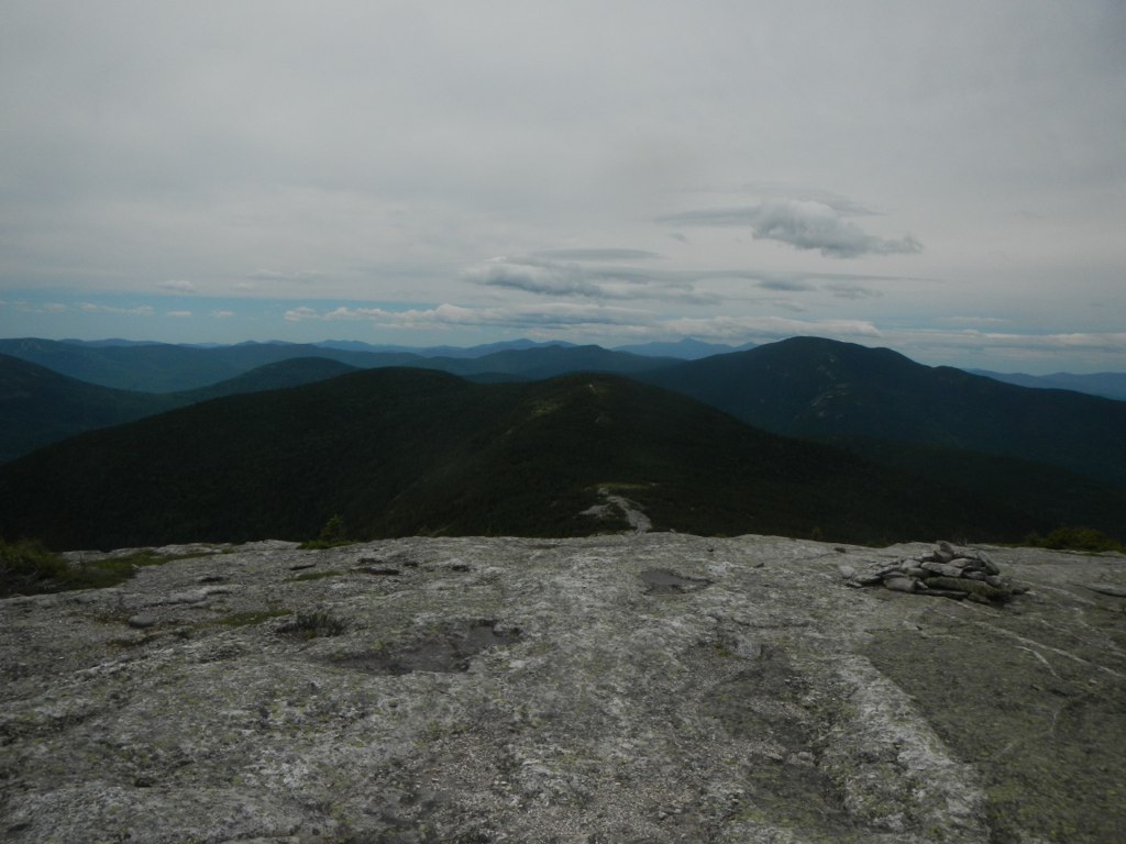 Baldpate Mountain TrailHikingPhoto: John Hayes (gravelboy), CC BY 2.0 (via Flickr)3 mi
- C BluffRock climbing9.5 mi
- The OutlookRock climbing9.6 mi
Source: Roamze catalog (indexable pages within 10 miles, PostGIS distance)
 Jericho Mountain State ParkState park · ~30 min drivePhoto: TimothyLev at English Wikipedia, Public domain (via Wikimedia Commons)
 Dixville Notch State ParkState park · ~44 min drivePhoto: P199, CC BY-SA 3.0 (via Wikimedia Commons)
 Rangeley Lake State ParkState park · ~44 min drivePhoto: petersent, Public domain (via Wikimedia Commons)
 Mount Blue State ParkState park · ~48 min drivePhoto: Tim Pierce, Public domain (via Wikimedia Commons)
 Mount Washington State ParkState park · ~49 min drivePhoto: Malber, CC BY-SA 3.0 (via Wikimedia Commons)
 Coleman State ParkState park · ~52 min drivePhoto: alans1948, CC BY 2.0 (via Wikimedia Commons)
 Crawford Notch State ParkState park · ~1h 2m drivePhoto: Fredlyfish4, CC BY-SA 4.0 (via Wikimedia Commons)
 Echo Lake State ParkState park · ~1h 7m drivePhoto: Jllm06, CC BY-SA 4.0 (via Wikimedia Commons)
 Brighton State ParkState park · ~1h 20m drivePhoto: lori05871 from Rural Vermont, USA, CC BY 2.0 (via Wikimedia Commons)
 Franconia Notch State ParkState park · ~1h 23m drivePhoto: Stephen Sokolowski, CC BY-SA 3.0 (via Wikimedia Commons)
Best time to visit Grafton Notch State Park
Best months: August–October. Best months have typical highs of 55–85 °F, lows of 30 °F or warmer (32 °F where the station doesn't record snow), at most one snowy day and no more than 12 wet days.
Jan
24° / 3°
11 wet
Feb
28° / 4°
9 wet
Mar
37° / 15°
10 wet
Apr
50° / 27°
11 wet
May
64° / 39°
14 wet
Jun
72° / 49°
14 wet
Jul
77° / 54°
13 wet
Aug
77° / 51°
11 wet
Sep
68° / 44°
10 wet
Oct
55° / 33°
12 wet
Nov
42° / 24°
12 wet
Dec
30° / 12°
13 wet
Typical high / low (°F) and days with rain or snow, 1991–2020. Measured at Andover 2, ME, 8.4 mi away at 822 ft. We don't have this place's elevation, so higher spots nearby can run cooler. This station doesn't record snowfall. Source: NOAA NCEI U.S. Climate Normals 1991–2020.
