Dixville Notch State Park
 Photo: P199, CC BY-SA 3.0 (via Wikimedia Commons)
- May–Oct
- best months
Dixville Notch State Park is a state park in New Hampshire, about 10 miles from the town of Colebrook. It serves as a base for a cluster of hiking trails, with several routes starting within a mile of one another. Summer is the most comfortable time to visit. Typical averages from a nearby weather station in Errol show July highs around 77°F with lows near 52°F, while winter is severe, with January highs in the low 20s and lows near zero. The closest trails are Sanguinary Ledge Trail, about 0.2 miles away, and Table Rock Trail #50, about 0.3 miles away. The Peregrine Trail is roughly 0.7 miles off. In winter, Cold Spring Road, about a mile away, offers cross-country skiing.
Park size
145 acres
 Sanguinary Ledge TrailHikingPhoto: gotjen, CC BY 3.0 (via Wikimedia Commons)0.2 mi
- Table Rock Trail #50HikingPhoto: gotjen, CC BY 3.0 (via Wikimedia Commons)0.3 mi
 Peregrine TrailHikingPhoto: Magicpiano, CC BY-SA 4.0 (via Wikimedia Commons)0.7 mi
- Cold Spring RoadCross-country skiing1 mi
- AbenikiCross-country skiing1.2 mi
 Mohawk RiverCanoeingPhoto: Ken Gallager at en.wikipedia, CC BY 3.0 (via Wikimedia Commons)3.9 mi
- Great North Woods RegionRock climbing5.5 mi
- Androscoggin RiverRiver fishing10 mi
Source: Roamze catalog (indexable pages within 10 miles, PostGIS distance)
 Coleman State ParkState park · ~9 min drivePhoto: alans1948, CC BY 2.0 (via Wikimedia Commons)
 Grafton Notch State ParkState park · ~44 min drivePhoto: Peter and Kelly from Bellingham, WA, USA, CC BY-SA 2.0 (via Wikimedia Commons)
 Jericho Mountain State ParkState park · ~46 min drivePhoto: TimothyLev at English Wikipedia, Public domain (via Wikimedia Commons)
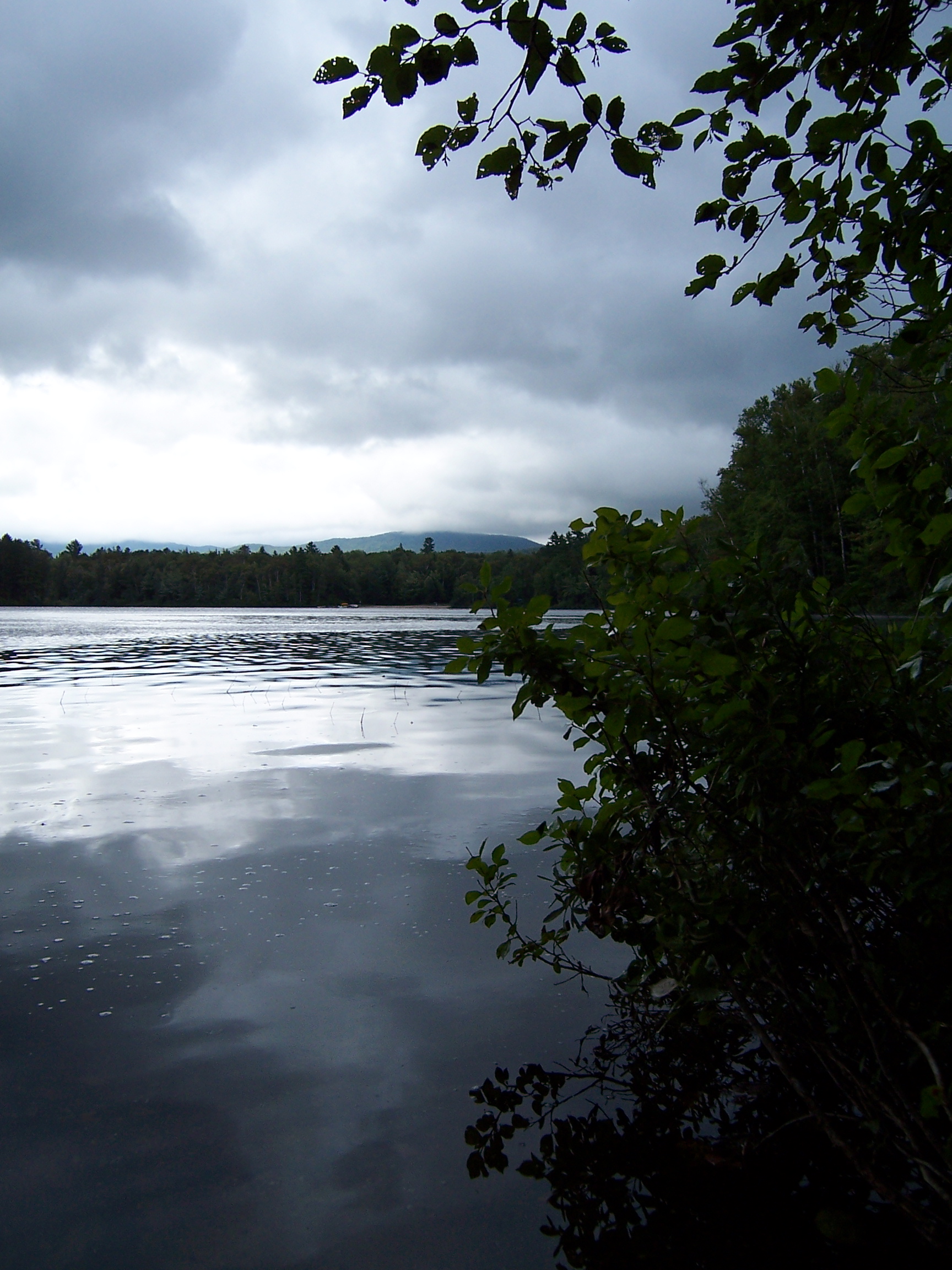 Brighton State ParkState park · ~47 min drivePhoto: lori05871 from Rural Vermont, USA, CC BY 2.0 (via Wikimedia Commons)
 Rangeley Lake State ParkState park · ~50 min drivePhoto: petersent, Public domain (via Wikimedia Commons)
 Sentinel Rock State ParkState park · ~1h 3m drivePhoto: User:Magicpiano, CC BY-SA 4.0 (via Wikimedia Commons)
 Parc écoforestier de JohnvilleState park · ~1h 8m drivePhoto: Gaétan, CC BY-SA 2.0 (via Wikimedia Commons)
 Mount Washington State ParkState park · ~1h 10m drivePhoto: Malber, CC BY-SA 3.0 (via Wikimedia Commons)
 Parc national du Mont-MéganticState park · ~1h 10m drivePhoto: Neumeier, CC BY-SA 3.0 (via Wikimedia Commons)
 Crystal Lake State ParkState park · ~1h 15m drivePhoto: Magicpiano, CC BY-SA 4.0 (via Wikimedia Commons)
Also worth it near here
Best time to visit Dixville Notch State Park
Best months: May–October. Best months have typical highs of 55–85 °F, lows of 30 °F or warmer (32 °F where the station doesn't record snow), at most one snowy day and no more than 12 wet days.
Jan
23° / 1°
Feb
26° / -1°
Mar
36° / 11°
Apr
49° / 26°
May
63° / 39°
Jun
72° / 48°
Jul
77° / 52°
Aug
75° / 50°
Sep
68° / 43°
Oct
55° / 32°
Nov
41° / 23°
Dec
29° / 10°
Typical high / low (°F) and days with rain or snow, 1991–2020. Measured at Errol Ap, NH, 8.2 mi away at 1,240 ft. We don't have this place's elevation, so higher spots nearby can run cooler. This station doesn't record snowfall. Source: NOAA NCEI U.S. Climate Normals 1991–2020.
