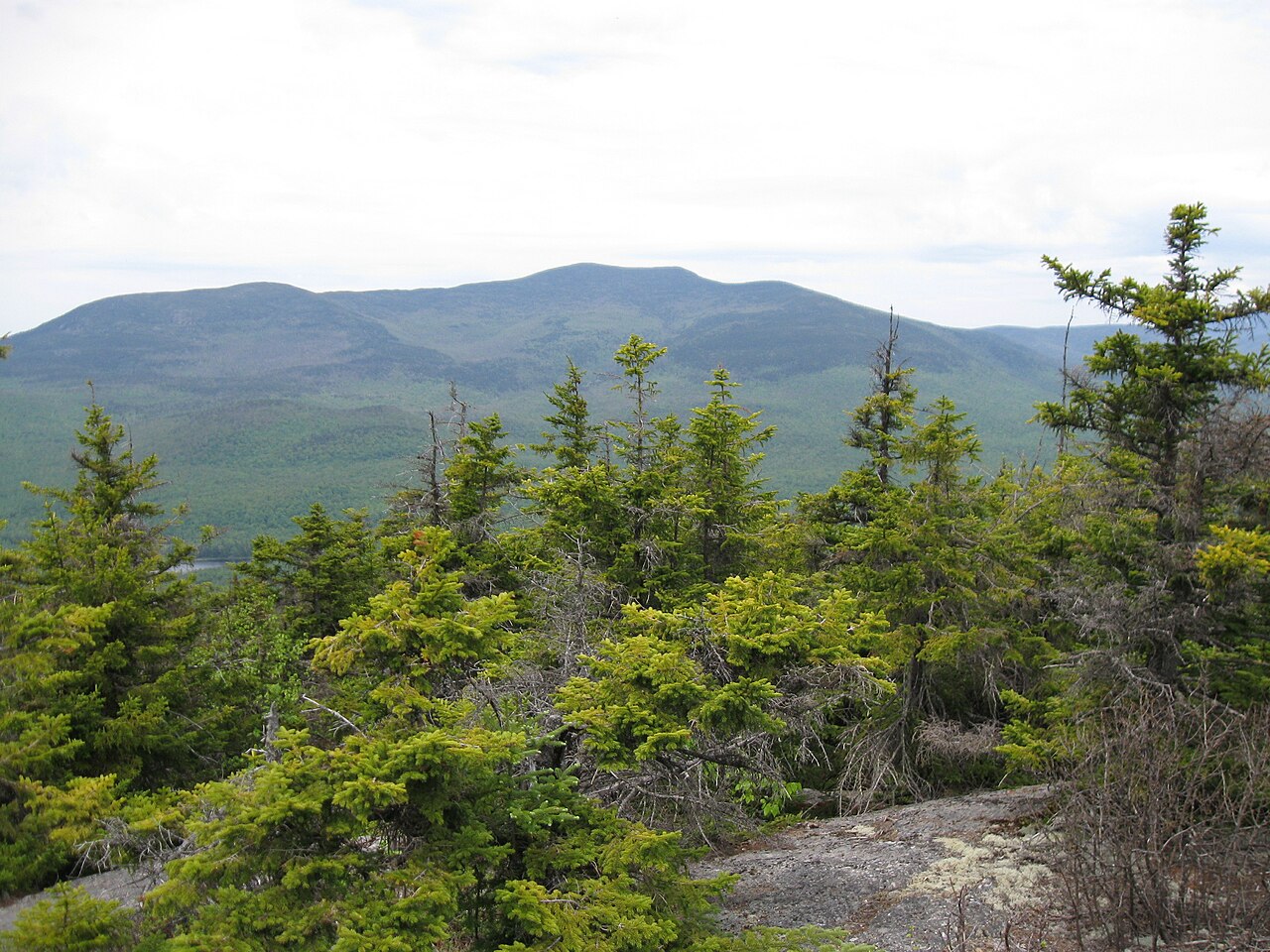
Flat Mtn Pond Shelter
Campground
Campground · 2.2 mi from the trail
Closure in the area
There's a closure order in White Mountain National Forest. It doesn't name Sandwich Mountain Trail, so check the source for the area it covers (2 listed).
Wild River Fire - Androscoggin Ranger District
Agency closure covering White Mountain National Forest · USFS · White Mountain National Forest
Rattlesnake Fire – Pemigewasset Ranger District
Agency closure covering White Mountain National Forest · USFS · White Mountain National Forest
Town Hall Road Camping and Fire Restrictions
Agency alert covering White Mountain National Forest · USFS · White Mountain National Forest
Lincoln Woods Trail Closure
Agency alert covering White Mountain National Forest · USFS · White Mountain National Forest
Forest Roads Status
Agency alert covering White Mountain National Forest · USFS · White Mountain National Forest
As of · Source: USFS · White Mountain National Forest. Agencies don't list every closure — check before you go.
Sandwich Mountain Trail is a 3.5-mile moderate hike in the Sandwich Range Wilderness, part of the Pemigewasset Ranger District of White Mountain National Forest in New Hampshire. The Forest Service manages the land, and the trail starts at about 3,939 feet, rising to a high point of 3,989 feet with a total elevation gain of 1,905 feet. The route is a point-to-point trail, and the climb is one way. The trail also descends about 820 feet, so a round trip would add roughly 1,905 feet of gain and 820 feet of loss. Black Mountain Pond Trail lies about 1.4 miles away, and Smarts Brook is about 1.9 miles off. Climbers can head to the Cavern Cliff Area, about 2.8 miles away, and Waterville Campground is about 2.9 miles from the trail.
Flat Mtn Pond Shelter
Campground
Coyote Grill
Restaurant
 If it rainsKen Gallager, CC BY-SA 4.0 · Wikimedia Commons
Places © OpenStreetMap contributors · Photos: Ken Gallager, CC BY-SA 4.0 (commons)
More in North ConwayDaily highs and lows, wind and the chance of precipitation at the summit and route start for the next 7 days, from the Open-Meteo model.
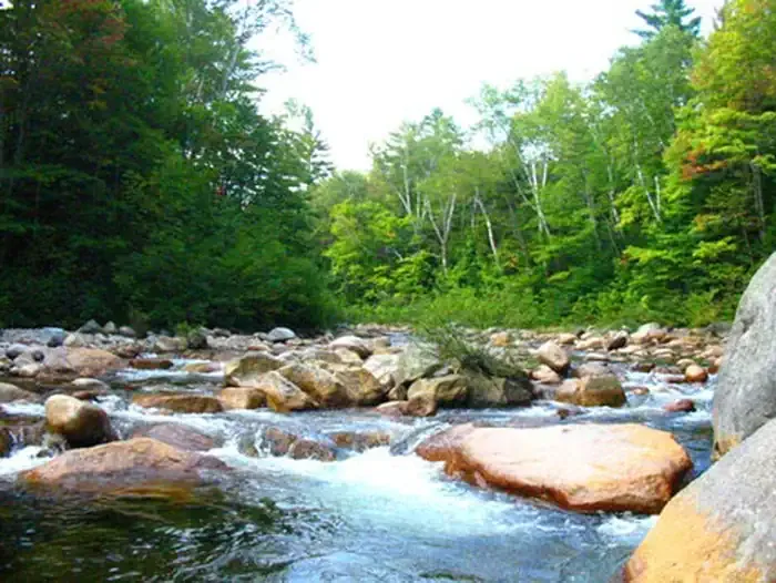 Waterville CampgroundCampingPhoto: Recreation.gov (RIDB) / public domain2.9 mi
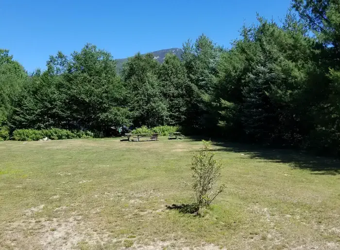 Osceola Vista CampgroundCampingPhoto: Recreation.gov (RIDB) / public domain5.1 mi
Source: Roamze catalog (indexable pages within 10 miles, PostGIS distance)
 Hardy Brook Spur A FR116AHiking · ~4 min drivePhoto: Dennis S. Hurd, Public Domain Dedication (CC0) (via Flickr)Drakes Brook TrailHiking · ~5 min drivePhoto: Dennis S. Hurd, Public Domain Dedication (CC0) (via Flickr)Hardy Brook Spur FR704Hiking · ~4 min drivePhoto: Dennis S. Hurd, Public Domain Dedication (CC0) (via Flickr)
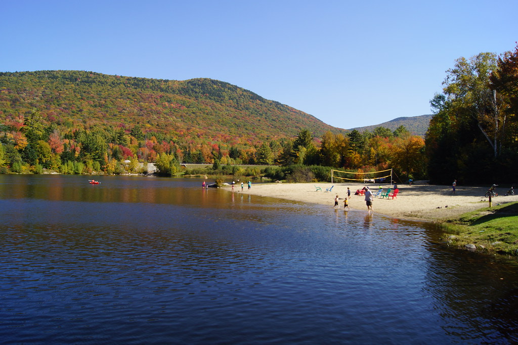 Snows MtnHiking · ~7 min drivePhoto: marcn, CC BY 2.0 (via Flickr)
 Swimming BirdHiking · ~5 min drivePhoto: Bob Linsdell, CC BY 2.0 (via Flickr)
 Space DonkeyHiking · ~5 min drivePhoto: Bob Linsdell, CC BY 2.0 (via Flickr)
About 3.5 mi.
About 1,905 ft of climbing round trip.
It is rated moderate.
About 2 hours round trip.
Map and trail data © OpenStreetMap contributors