Flat Mtn Pond Shelter
Campground
Campground · 3.5 mi from the trail
Closure in the area
There's a closure order in White Mountain National Forest. It doesn't name Black Mountain Pond Trail, so check the source for the area it covers (2 listed).
Wild River Fire - Androscoggin Ranger District
Agency closure covering White Mountain National Forest · USFS · White Mountain National Forest
Rattlesnake Fire – Pemigewasset Ranger District
Agency closure covering White Mountain National Forest · USFS · White Mountain National Forest
Town Hall Road Camping and Fire Restrictions
Agency alert covering White Mountain National Forest · USFS · White Mountain National Forest
Lincoln Woods Trail Closure
Agency alert covering White Mountain National Forest · USFS · White Mountain National Forest
Forest Roads Status
Agency alert covering White Mountain National Forest · USFS · White Mountain National Forest
As of · Source: USFS · White Mountain National Forest. Agencies don't list every closure — check before you go.
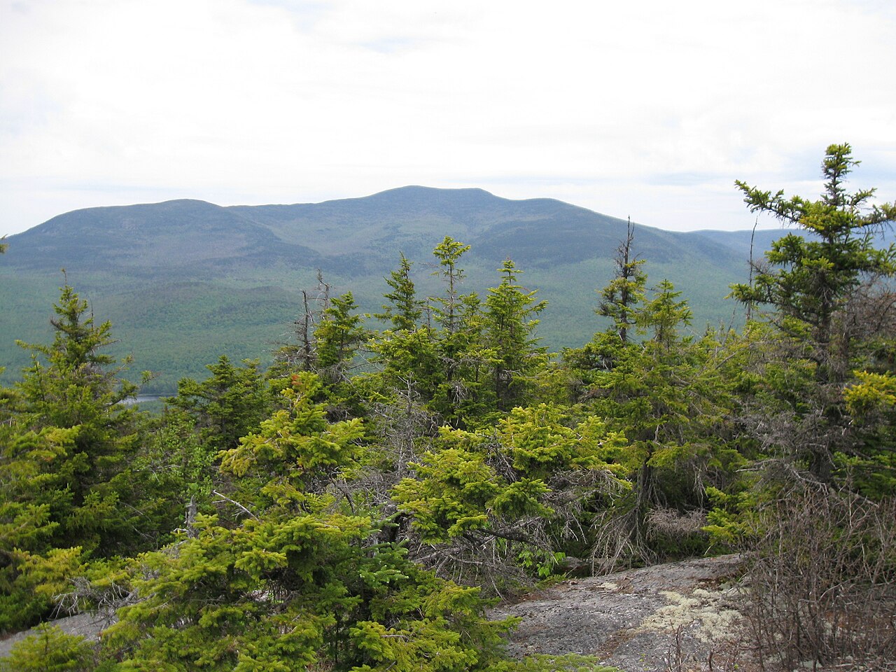
Black Mountain Pond Trail is a 4.6-mile moderate hike in the Sandwich Range Wilderness of New Hampshire's White Mountain National Forest, within the Pemigewasset Ranger District. The trail is managed by the Forest Service and runs from a high point of 3,288 feet down to 1,424 feet, with a total elevation gain of 1,840 feet. The route is point to point, and the steepest stretch comes within the first 0.14 miles, where the grade reaches 47 percent. The trip takes about 2.5 hours. The trail starts at a high point, so the descent is steeper than the climb. Plan for a full day, and consider an overnight stay at Waterville Campground, about 3.9 miles away, or Campton Campground, about 5.5 miles away. Nearby, Smarts Brook is about a mile off, and the Sandwich Mountain Trail is about 1.4 miles away. Climbers can head to The Slablands, about 2.1 miles away, and the Ledges hike is about 1.9 miles away.
Flat Mtn Pond Shelter
Campground
Coyote Grill
Restaurant
 If it rainsKen Gallager, CC BY-SA 4.0 · Wikimedia Commons
Places © OpenStreetMap contributors · Photos: Ken Gallager, CC BY-SA 4.0 (commons)
More in North Conway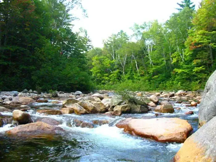 Waterville CampgroundCampingPhoto: Recreation.gov (RIDB) / public domain3.9 mi
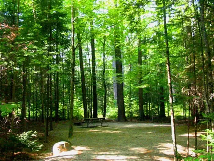 Campton CampgroundCampingPhoto: Recreation.gov (RIDB) / public domain5.5 mi
Source: Roamze catalog (indexable pages within 10 miles, PostGIS distance)
 Love ConnectionHiking · ~4 min drivePhoto: Bob Linsdell, CC BY 2.0 (via Flickr)Instant ClassicHiking · ~4 min drivePhoto: Bob Linsdell, CC BY 2.0 (via Flickr)Ostrich CowboyHiking · ~4 min drivePhoto: Bob Linsdell, CC BY 2.0 (via Flickr)
 Swimming BirdHiking · ~4 min drivePhoto: Bob Linsdell, CC BY 2.0 (via Flickr)
Map and trail data © OpenStreetMap contributors