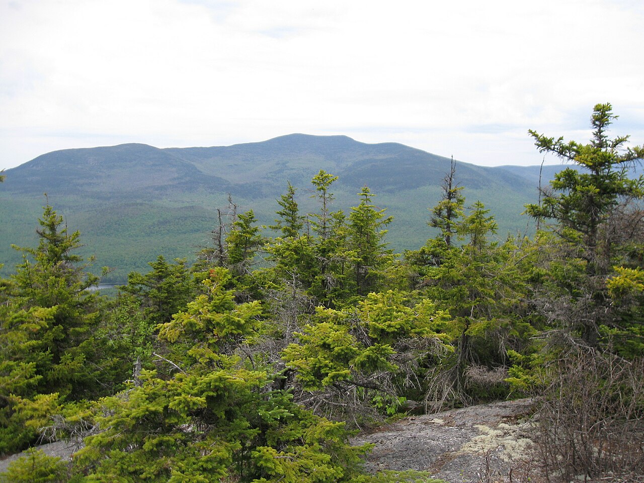
Flat Mtn Pond Shelter
Campground
Campground · 1.4 mi from the trail
Caution today
Agency alerts are in effect for this area; weather is good · USFS, OpenWeather · checked just now
Closure in the area
There's a closure order in White Mountain National Forest. It doesn't name Gleason Trail (Decommissioned), so check the source for the area it covers (2 listed).
Wild River Fire - Androscoggin Ranger District
Agency closure covering White Mountain National Forest · USFS · White Mountain National Forest
Rattlesnake Fire – Pemigewasset Ranger District
Agency closure covering White Mountain National Forest · USFS · White Mountain National Forest
Town Hall Road Camping and Fire Restrictions
Agency alert covering White Mountain National Forest · USFS · White Mountain National Forest
Lincoln Woods Trail Closure
Agency alert covering White Mountain National Forest · USFS · White Mountain National Forest
Forest Roads Status
Agency alert covering White Mountain National Forest · USFS · White Mountain National Forest
As of · Source: USFS · White Mountain National Forest. Agencies don't list every closure — check before you go.
Gleason Trail (Decommissioned) is a 3.1-mile out-and-back hike in the Sandwich Range Wilderness, part of the Saco Ranger District of the White Mountain National Forest in New Hampshire. The Forest Service manages the land, and the trail starts at about 1,850 feet, rising to a high point of 3,669 feet with a total gain of 1,892 feet over the course of the trip. The climb is front-loaded, with the steepest stretch at about 0.5 miles in, where the grade reaches 33%. That makes the first half of the route the most demanding, and the trail is rated moderate. The active Gleason Trail lies about 0.4 miles away, and the Bennett Street Trail and Flat Mountain Pond Trail are each about 0.9 miles off. For an overnight stay, Waterville Campground is about 4.1 miles away.
Flat Mtn Pond Shelter
Campground
Coyote Grill
Restaurant
 If it rainsKen Gallager, CC BY-SA 4.0 · Wikimedia Commons
Places © OpenStreetMap contributors · Photos: Ken Gallager, CC BY-SA 4.0 (commons)
More in North Conway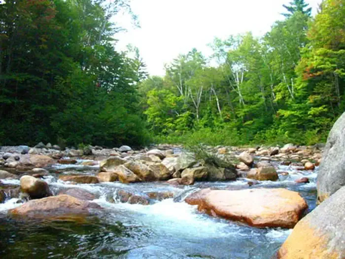 Waterville CampgroundCampingPhoto: Recreation.gov (RIDB) / public domain4.1 mi
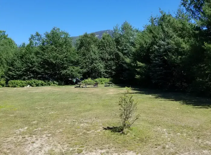 Osceola Vista CampgroundCampingPhoto: Recreation.gov (RIDB) / public domain6.2 mi
Source: Roamze catalog (indexable pages within 10 miles, PostGIS distance)
 Drakes Brook TrailHiking · ~7 min drivePhoto: Dennis S. Hurd, Public Domain Dedication (CC0) (via Flickr)Hardy Brook Spur FR704Hiking · ~7 min drivePhoto: Dennis S. Hurd, Public Domain Dedication (CC0) (via Flickr)
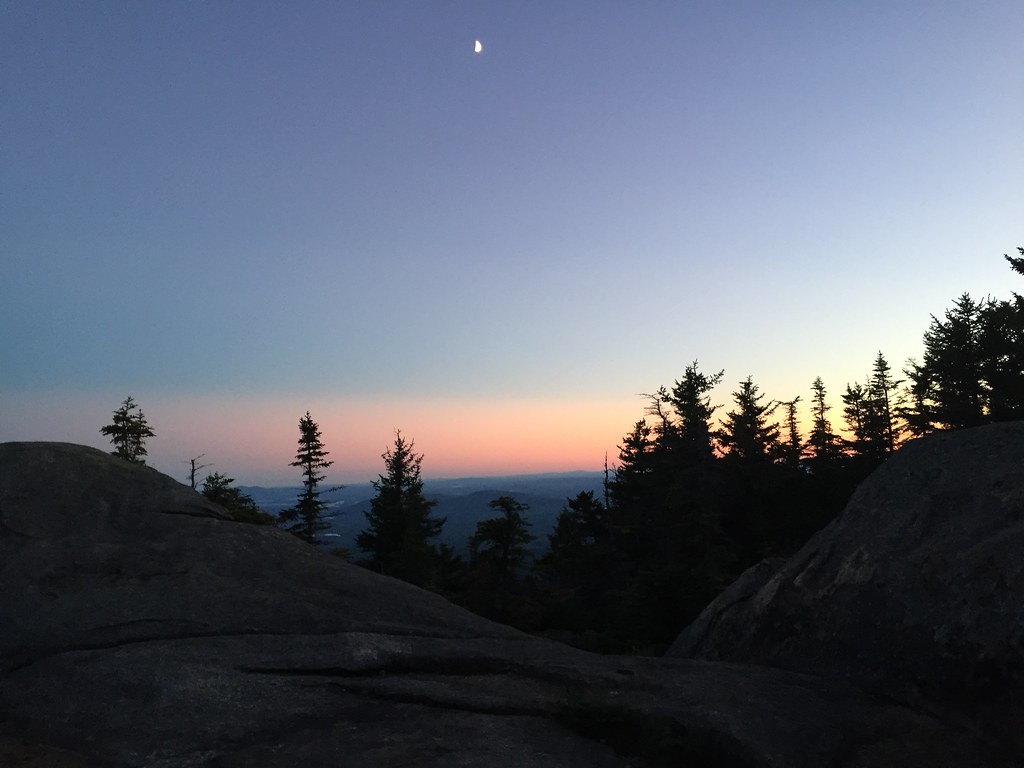 Mccrillis TrailHiking · ~7 min drivePhoto: drsmith7383, CC BY 2.0 (via Flickr)
 Kate Sleeper TrailHiking · ~7 min drivePhoto: drsmith7383, CC BY 2.0 (via Flickr)Hardy Brook Spur A FR116AHiking · ~7 min drivePhoto: Dennis S. Hurd, Public Domain Dedication (CC0) (via Flickr)
 Mt. Tripyramid TrailHiking · ~8 min drivePhoto: drsmith7383, CC BY 2.0 (via Flickr)Rollins TrailHiking · ~7 min drivePhoto: drsmith7383, CC BY 2.0 (via Flickr)KATE SLEEPER TRAILHiking · ~8 min drivePhoto: drsmith7383, CC BY 2.0 (via Flickr)
 Tom Wiggin TrailHiking · ~8 min drivePhoto: drsmith7383, CC BY 2.0 (via Flickr)
Map and trail data © OpenStreetMap contributors