Flat Mtn Pond Shelter
Campground
Campground · 2.2 mi from the trail
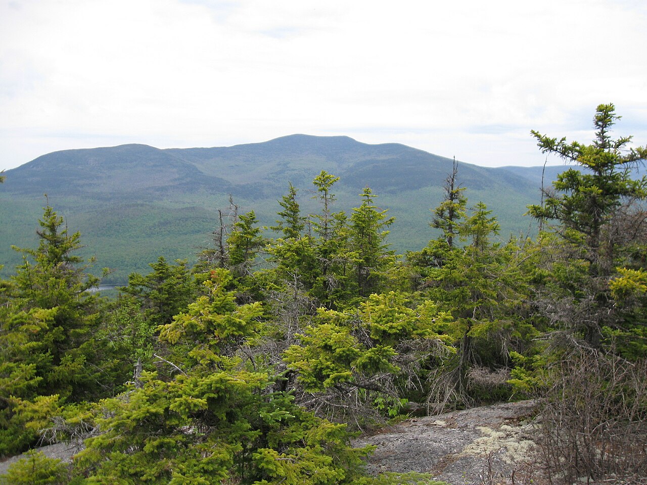 Photo: Ken Gallager (talk), CC BY-SA 3.0 (via Wikimedia Commons)
Closure in the area
There's a closure order in White Mountain National Forest. It doesn't name Sandwich Mountain, so check the source for the area it covers (2 listed).
Wild River Fire - Androscoggin Ranger District
Agency closure covering White Mountain National Forest · USFS · White Mountain National Forest
Rattlesnake Fire – Pemigewasset Ranger District
Agency closure covering White Mountain National Forest · USFS · White Mountain National Forest
Town Hall Road Camping and Fire Restrictions
Agency alert covering White Mountain National Forest · USFS · White Mountain National Forest
Lincoln Woods Trail Closure
Agency alert covering White Mountain National Forest · USFS · White Mountain National Forest
Forest Roads Status
Agency alert covering White Mountain National Forest · USFS · White Mountain National Forest
As of · Source: USFS · White Mountain National Forest. Agencies don't list every closure — check before you go.
Sandwich Mountain is a summit in New Hampshire's White Mountain National Forest, inside the Sandwich Range Wilderness and managed under the Pemigewasset Ranger District. The nearest town is Waterville Valley, about 3.4 miles away, which makes it a natural base for planning a trip to the peak. Because the mountain sits within designated wilderness, expect a backcountry setting rather than a developed recreation site. The most direct way to reach it is the Sandwich Mountain Trail, which passes within about a tenth of a mile of the top. Nearby, the Black Mountain Pond Trail lies about 1.4 miles away. Rock climbers can find the Cavern Cliff Area roughly 2.8 miles off, and Waterville Campground, about 2.9 miles away, offers a place to stay close to the mountain.
Flat Mtn Pond Shelter
Campground
Coyote Grill
Restaurant
 If it rainsKen Gallager, CC BY-SA 4.0 · Wikimedia Commons
Places © OpenStreetMap contributors · Photos: Ken Gallager, CC BY-SA 4.0 (commons)
More in North ConwayDaily highs and lows, wind and the chance of precipitation at the summit and route start for the next 7 days, from the Open-Meteo model.
Elevation from USGS 3D Elevation Program terrain data (about 10 m resolution).
| Sandwich Mountain Trail | Algonquin Trail | |
|---|---|---|
| Starts at | — | Algonquin Trailhead |
| Climbing | About 1,905 ft | About 2,602 ft |
| Round trip | 3.5 mi | 4.0 mi |
| Difficulty | Moderate | Hard |
| Terrain | Hike | Hike |
3,989 ft (1,216 m).
2: Sandwich Mountain Trail and Algonquin Trail.
Sandwich Mountain Trail, about 3.5 mi.
Algonquin Trail starts at Algonquin Trailhead (about 1,421 ft).
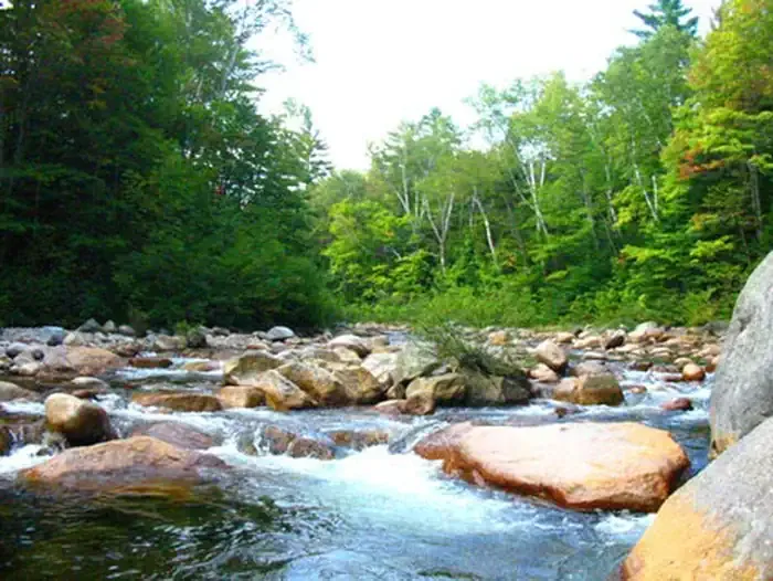 Waterville CampgroundCampingPhoto: Recreation.gov (RIDB) / public domain2.9 mi
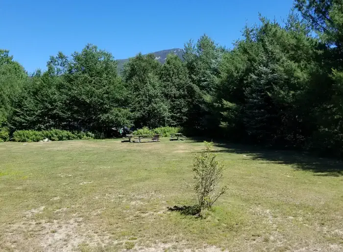 Osceola Vista CampgroundCampingPhoto: Recreation.gov (RIDB) / public domain5.1 mi
Source: Roamze catalog (indexable pages within 10 miles, PostGIS distance)
 Mount TripyramidSummit · ~10 min drivePhoto: petersent, Public domain (via Wikimedia Commons)
 Mount PassaconawaySummit · ~12 min drivePhoto: Jeremy R. Clark, CC BY 3.0 (via Wikimedia Commons)
 Mount ChocoruaSummit · ~20 min drivePhoto: No machine-readable author provided. JohnJHenderson~commonswiki assumed (based on copyright claims)., Public domain (via Wikimedia Commons)
 Mount CarrigainSummit · ~23 min drivePhoto: Tim Sackton, CC BY-SA 2.0 (via Wikimedia Commons)

