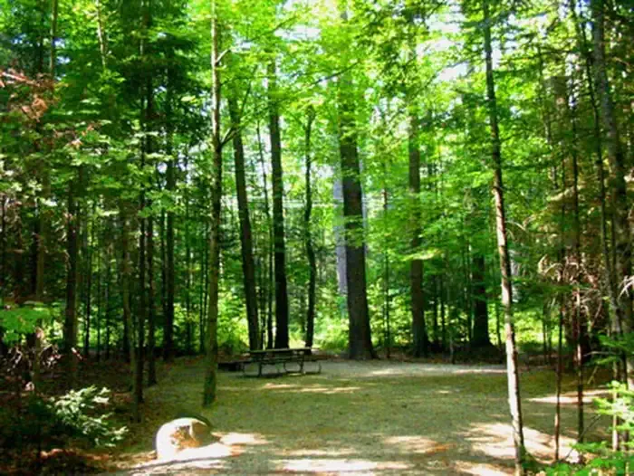
Goose Hollow Camp & RV Park
Campground
Campground · 3.0 mi from the trail
Closure in the area
There's a closure order in White Mountain National Forest. It doesn't name Smarts Brook, so check the source for the area it covers (2 listed).
Wild River Fire - Androscoggin Ranger District
Agency closure covering White Mountain National Forest · USFS · White Mountain National Forest
Rattlesnake Fire – Pemigewasset Ranger District
Agency closure covering White Mountain National Forest · USFS · White Mountain National Forest
Town Hall Road Camping and Fire Restrictions
Agency alert covering White Mountain National Forest · USFS · White Mountain National Forest
Lincoln Woods Trail Closure
Agency alert covering White Mountain National Forest · USFS · White Mountain National Forest
Forest Roads Status
Agency alert covering White Mountain National Forest · USFS · White Mountain National Forest
As of · Source: USFS · White Mountain National Forest. Agencies don't list every closure — check before you go.
Smarts Brook is a 5-mile out-and-back hike in the Sandwich Range Wilderness, part of the Pemigewasset Ranger District of White Mountain National Forest in New Hampshire. The Forest Service manages the land, and the trail's natural surface and lack of accessibility make it a destination for those hiking on foot rather than on wheels. The climb is front-loaded, with the steepest stretch at about 2.2 miles in, where the grade reaches 26%. The trail gains about 1,869 feet from the start, reaching a high point of 3,410 feet, and loses the same amount on the way back. That puts the total elevation gain at about 1,700 feet one way, which fits the trail's moderate rating. The route sits at the center of a cluster of other trails and climbing areas, all within about a mile. Ledges and the Black Mountain Pond Trail are close by, as is the Yellow Jacket XC Trail. Waterville Campground, about 3.6 miles away, is the nearest place to camp.
Goose Hollow Camp & RV Park
Campground
Coyote Grill
Restaurant
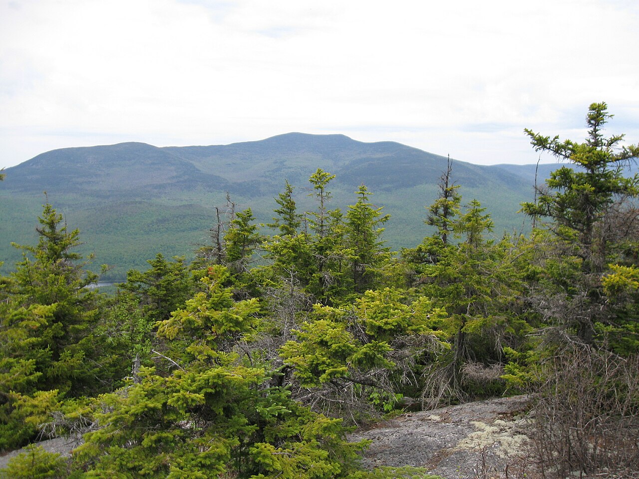
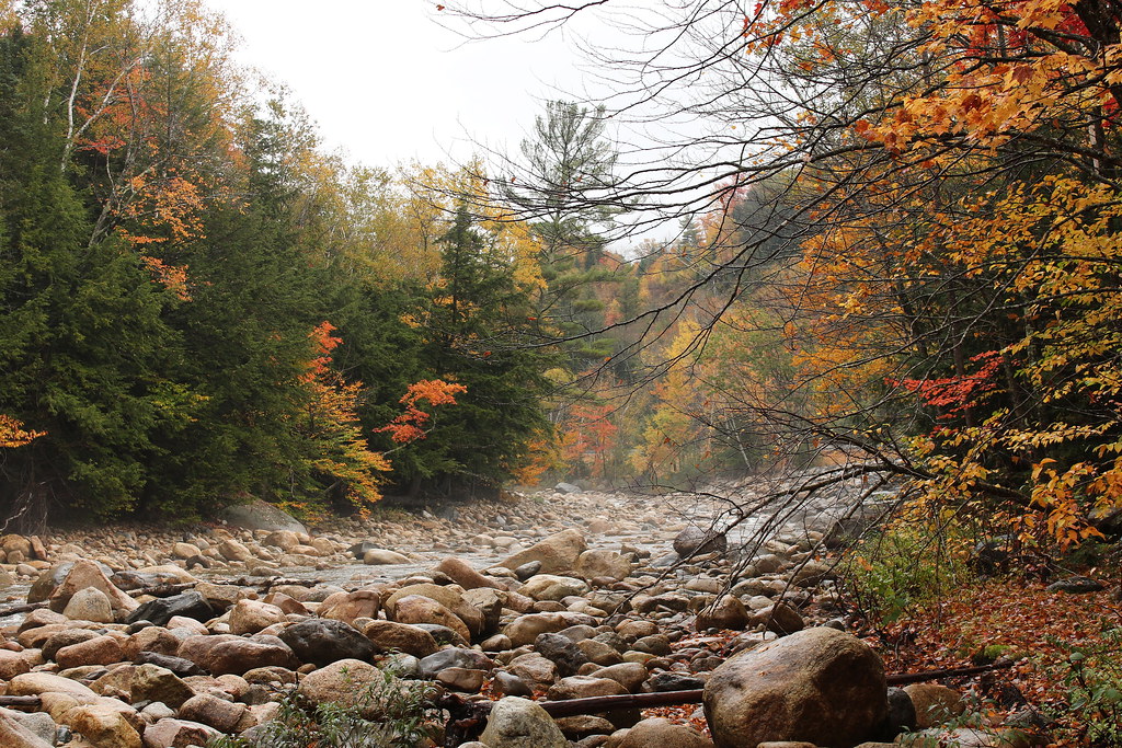
 If it rainsKen Gallager, CC BY-SA 4.0 · Wikimedia Commons
Places © OpenStreetMap contributors · Photos: Ken Gallager, CC BY-SA 4.0 (commons)
More in North Conway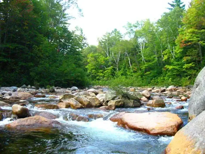 Waterville CampgroundCampingPhoto: Recreation.gov (RIDB) / public domain3.6 mi
 Campton CampgroundCampingPhoto: Recreation.gov (RIDB) / public domain4.7 mi
Source: Roamze catalog (indexable pages within 10 miles, PostGIS distance)
 Love ConnectionHiking · ~3 min drivePhoto: Bob Linsdell, CC BY 2.0 (via Flickr)
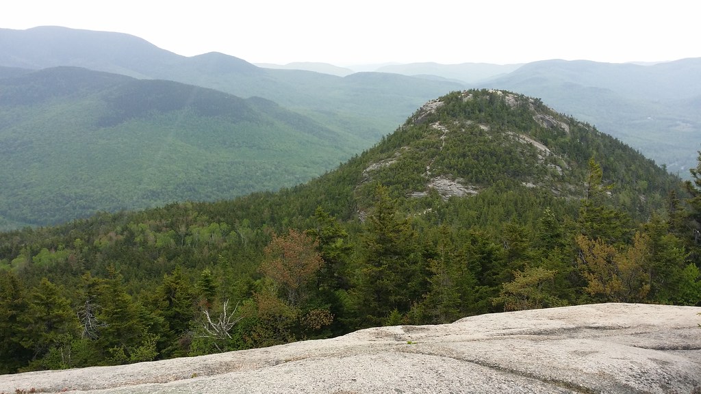 Welch-DickeyHiking · ~5 min drivePhoto: Doug Orleans, CC BY-SA 2.0 (via Flickr)Ostrich CowboyHiking · ~3 min drivePhoto: Bob Linsdell, CC BY 2.0 (via Flickr)
 Drakes Brook TrailHiking · ~6 min drivePhoto: Dennis S. Hurd, Public Domain Dedication (CC0) (via Flickr)
 Swimming BirdHiking · ~3 min drivePhoto: Bob Linsdell, CC BY 2.0 (via Flickr)
 Space DonkeyHiking · ~3 min drivePhoto: Bob Linsdell, CC BY 2.0 (via Flickr)Instant ClassicHiking · ~3 min drivePhoto: Bob Linsdell, CC BY 2.0 (via Flickr)