Valley Way Campsite
Campground
Campground · 1.0 mi from the trail
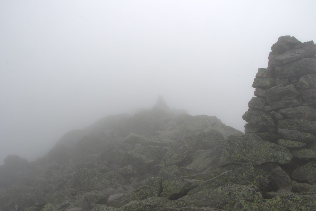 Photo: Ktr101, CC BY-SA 2.0 (via Flickr)
Caution today
Agency alerts are in effect for this area; weather is marginal · USFS, OpenWeather · checked 3 h ago
Closure in the area
There's a closure order in White Mountain National Forest. It doesn't name Parapet, so check the source for the area it covers (3 listed).
Wild River Fire - Androscoggin Ranger District
Agency closure covering White Mountain National Forest · USFS · White Mountain National Forest
List of trail closures post-Hurricane Helene
Park closure covering Appalachian National Scenic Trail · NPS · Appalachian National Scenic Trail
Rattlesnake Fire – Pemigewasset Ranger District
Agency closure covering White Mountain National Forest · USFS · White Mountain National Forest
Black Bears Frequenting the McAfee Knob Area in Virginia
Park alert covering Appalachian National Scenic Trail · NPS · Appalachian National Scenic Trail
Town Hall Road Camping and Fire Restrictions
Agency alert covering White Mountain National Forest · USFS · White Mountain National Forest
As of · Source: USFS · White Mountain National Forest. Agencies don't list every closure — check before you go.
Parapet is an easy out-and-back hike of about 1.7 miles on natural surface in the Androscoggin Ranger District of White Mountain National Forest, New Hampshire. The Forest Service manages the land, and the trail lies within the Appalachian National Scenic Trail corridor. The route gains about 134 feet in elevation, from a low of 4,823 feet to a high of 4,922 feet. The steepest stretch comes at about 0.33 miles in, where the grade reaches 25 percent. For timing, the most comfortable months are late summer into early fall. Typical averages from a nearby weather station on Mt Washington, at a higher elevation than the trail, show September highs around 49°F with lows near 37°F, and that station records no snow from July through September. The trail is not accessible. Bikes are not allowed. It is open year-round, and the closest neighbors are the Daniel Webster-Scout hike, about 0.1 mile away, and the Howker Ridge Trail, about 0.2 mile away. For overnight stays, Osgood Tent Site is about 1.5 miles off, and the WM: Pinkham / Presidentials climbing area is about 3.3 miles away.
Valley Way Campsite
Campground
The Glen House
Restaurant
 If it rainsKen Gallager, CC BY-SA 4.0 · Wikimedia Commons
Places © OpenStreetMap contributors · Photos: Ken Gallager, CC BY-SA 4.0 (commons)
More in North ConwayDaniel Webster-ScoutHikingPhoto: Ktr101, CC BY-SA 2.0 (via Flickr)0.1 miHowker Ridge TrailHikingPhoto: Ktr101, CC BY-SA 2.0 (via Flickr)0.2 mi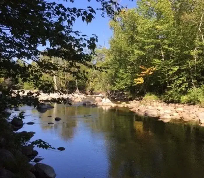 Dolly CoppCampingPhoto: Recreation.gov (RIDB) / public domain2.5 mi
 Israel RiverCanoeingPhoto: Ken Gallager at en.wikipedia, Public domain (via Wikimedia Commons)7.9 mi
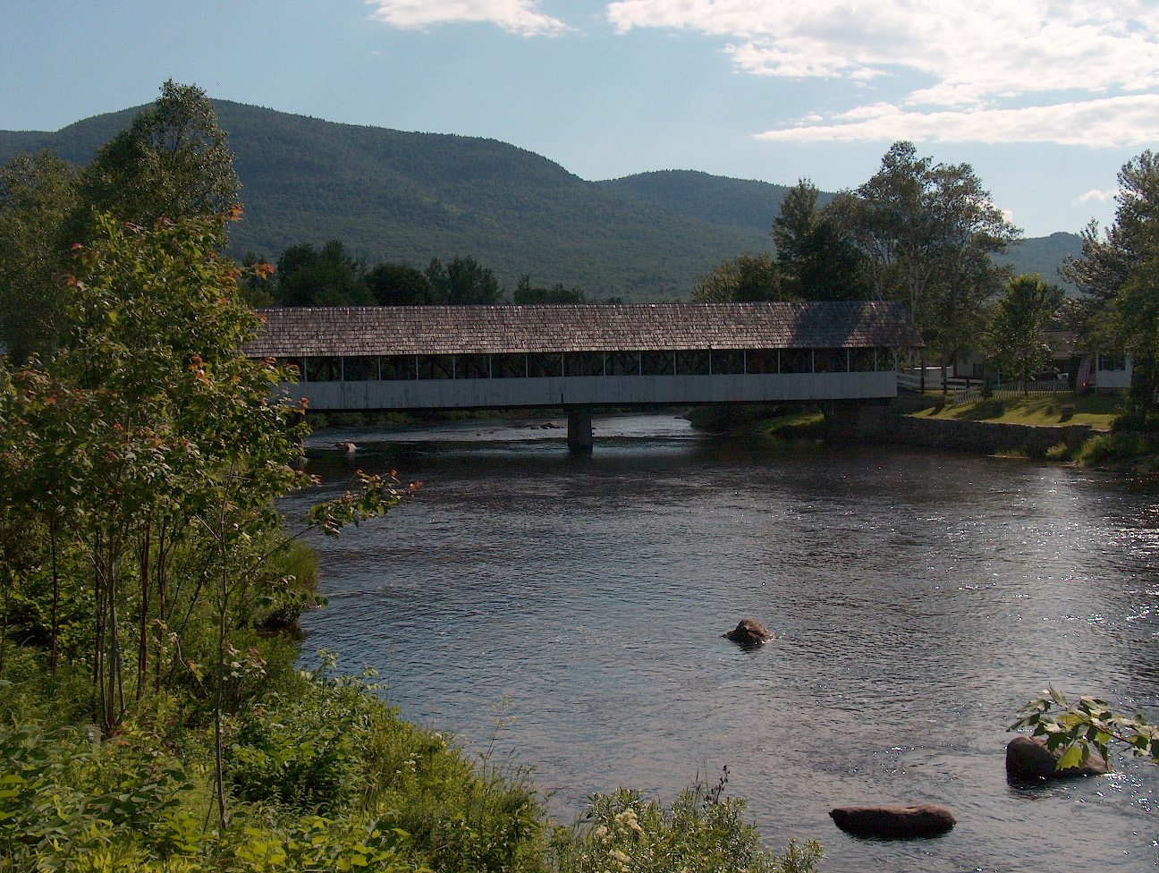 Upper Ammonoosuc RiverCanoeingPhoto: Ken Gallager at English Wikipedia, Public domain (via Wikimedia Commons)9.8 mi
Source: Roamze catalog (indexable pages within 10 miles, PostGIS distance)
 Pine LinkHiking · ~1 min drivePhoto: John Hayes (gravelboy), CC BY 2.0 (via Flickr)
 Spur TrailHiking · ~2 min drivePhoto: Ktr101, CC BY-SA 2.0 (via Flickr)
 Mt Jefferson LoopHiking · ~4 min drivePhoto: Ktr101, CC BY-SA 2.0 (via Flickr)Lowe's PathHiking · ~2 min drivePhoto: John Hayes (gravelboy), CC BY 2.0 (via Flickr)
 Chandler BrookHiking · ~3 min drivePhoto: Bob Linsdell, CC BY 2.0 (via Flickr)
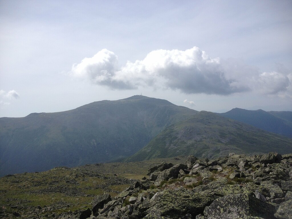 Castle Ravine TrailHiking · ~5 min drivePhoto: Ktr101, CC BY-SA 2.0 (via Flickr)Watson PathHiking · ~2 min drivePhoto: Ktr101, CC BY-SA 2.0 (via Flickr)
 ButtressHiking · ~3 min drivePhoto: daveynin, CC BY 2.0 (via Flickr)
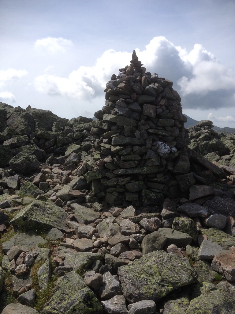 EmeraldHiking · ~5 min drivePhoto: Ktr101, CC BY-SA 2.0 (via Flickr)Great GulfHiking · ~3 min drivePhoto: daveynin, CC BY 2.0 (via Flickr)
No month here meets our mild-weather rule. Best months have typical highs of 55–85 °F, lows of 30 °F or warmer (32 °F where the station doesn't record snow), at most one snowy day and no more than 12 wet days.
Jan
15° / -3°
20 wet · 20 snow
Feb
15° / -3°
18 wet · 18 snow
Mar
21° / 5°
20 wet · 18 snow
Apr
31° / 17°
18 wet · 13 snow
May
42° / 30°
18 wet · 7 snow
Jun
51° / 40°
17 wet · 2 snow
Jul
55° / 44°
17 wet
Aug
54° / 43°
15 wet
Sep
49° / 37°
14 wet · 2 snow
Oct
38° / 25°
18 wet · 9 snow
Nov
28° / 13°
19 wet · 15 snow
Dec
20° / 3°
21 wet · 19 snow
Typical high / low (°F) and days with rain or snow, 1991–2020. Measured at Mt Washington, NH, 4.5 mi away at 6,267 ft. The station sits about 1,300 ft higher than this place, so expect it a little warmer here. Source: NOAA NCEI U.S. Climate Normals 1991–2020.

