Valley Way Campsite
Campground
Campground · 2.1 mi from the trail
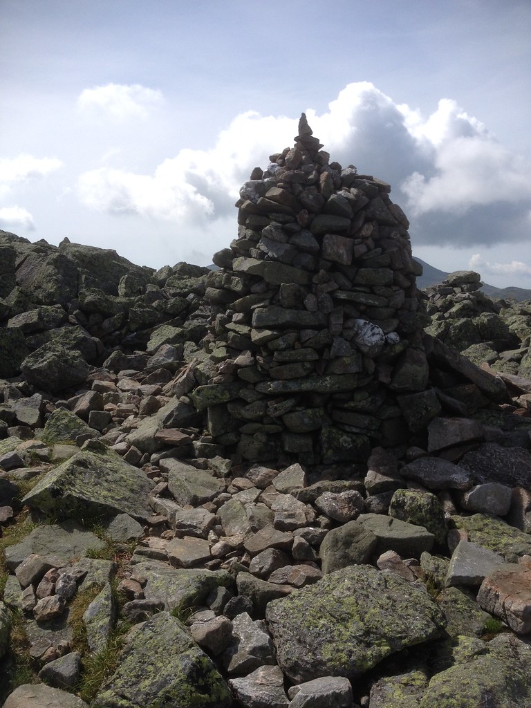 Photo: Ktr101, CC BY-SA 2.0 (via Flickr)
Closure in the area
There's a closure order in White Mountain National Forest. It doesn't name Emerald, so check the source for the area it covers (2 listed).
Wild River Fire - Androscoggin Ranger District
Agency closure covering White Mountain National Forest · USFS · White Mountain National Forest
Rattlesnake Fire – Pemigewasset Ranger District
Agency closure covering White Mountain National Forest · USFS · White Mountain National Forest
Town Hall Road Camping and Fire Restrictions
Agency alert covering White Mountain National Forest · USFS · White Mountain National Forest
Lincoln Woods Trail Closure
Agency alert covering White Mountain National Forest · USFS · White Mountain National Forest
Forest Roads Status
Agency alert covering White Mountain National Forest · USFS · White Mountain National Forest
As of · Source: USFS · White Mountain National Forest. Agencies don't list every closure — check before you go.
Emerald is a short hike of about a mile on the Forest Service trails of the Androscoggin Ranger District of the White Mountain National Forest in New Hampshire. It starts near the 3,270-foot mark and climbs to a high point of 4,060 feet, with a total gain of 962 feet over the round trip. The climb is front-loaded, peaking with a 59% grade at about a quarter mile in, so the first part of the trail is the steepest. The route is an out-and-back on natural surface, and it's rated easy. Bikes are allowed, but the trail is not accessible. It is open year-round, and the trip takes about an hour. Castle Ravine Trail begins just 0.1 mile away, and Emerald Trail is 0.4 mile off. Nearby, the WM: Pinkham / Presidentials climbing area is about 3 miles away, and Osgood Tent Site and Hermit Lake Complex are both within about 4.5 miles. Paddlers can reach the Israel River at about 5.9 miles.
Valley Way Campsite
Campground
The Glen House
Restaurant
 If it rainsKen Gallager, CC BY-SA 4.0 · Wikimedia Commons
Places © OpenStreetMap contributors · Photos: Ken Gallager, CC BY-SA 4.0 (commons)
More in North Conway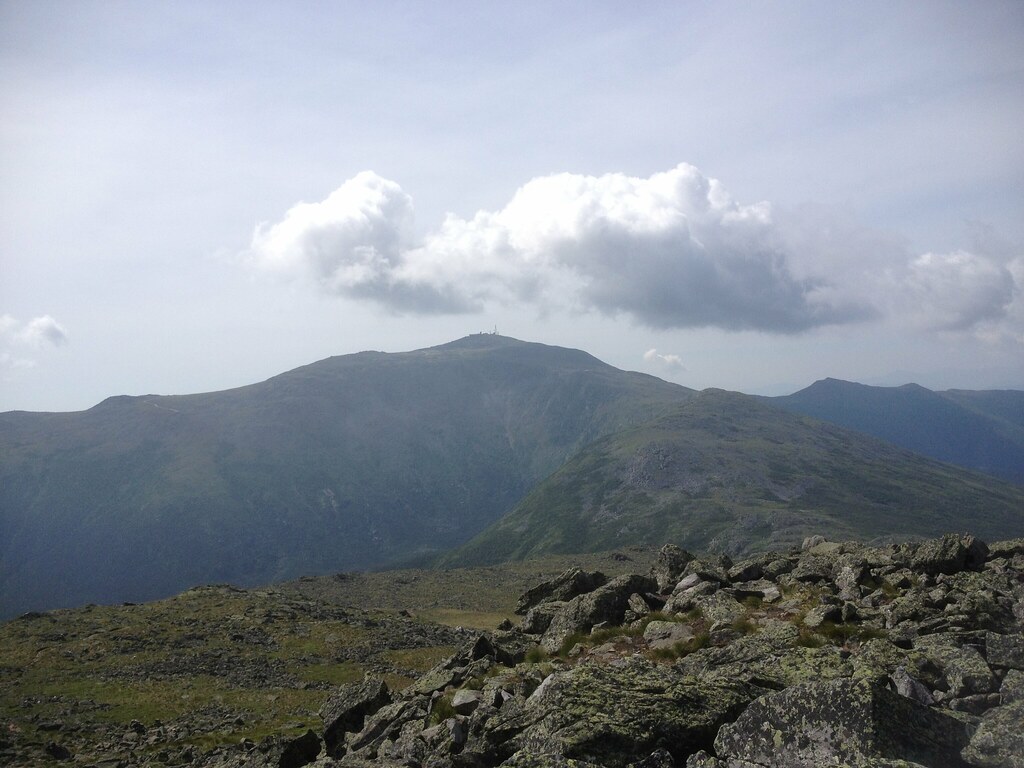 Photo: Ktr101, CC BY-SA 2.0 (via Flickr)
Castle Ravine Trail
Next door
0.72-mile point-to-point trail in New Hampshire with 1,604 ft elevation gain.
Photo: Ktr101, CC BY-SA 2.0 (via Flickr)Cornice
~1 min drive
3.12-mile out-and-back trail in New Hampshire with 983 ft gain
 Photo: John Hayes (gravelboy), CC BY 2.0 (via Flickr)
Lowe's Path
~2 min drive
Lowe's Path is a 4.14-mile point-to-point trail in New Hampshire with 1,026 feet of elevation gain.
 Photo: Ktr101, CC BY-SA 2.0 (via Flickr)
Mt Jefferson Loop
~2 min drive
1.25-mile out-and-back trail in New Hampshire with 505 ft gain.
Photo: Ktr101, CC BY-SA 2.0 (via Flickr)Edmands Col
~1 min drive
Edmands Col is a 0.46-mile point-to-point trail in New Hampshire with 605 ft of elevation gain.
Photo: Ktr101, CC BY-SA 2.0 (via Flickr)Adams Slide Trail
~3 min drive
0.82-mile point-to-point trail in New Hampshire with 2,099 ft of elevation gain.
 Photo: John Hayes (gravelboy), CC BY 2.0 (via Flickr)
Mt Clay Loop
~3 min drive
2.02-mile out-and-back trail in New Hampshire with 618 ft gain.
 Photo: Ktr101, CC BY-SA 2.0 (via Flickr)
Spur Trail
~2 min drive
Spur Trail is a 1.66-mile point-to-point trail in New Hampshire with 1,921 feet of elevation loss.
Photo: Ktr101, CC BY-SA 2.0 (via Flickr)Watson Path
~5 min drive
2.74-mile out-and-back trail in New Hampshire with 2,199 ft elevation gain.
 Photo: roy.luck, CC BY 2.0 (via Flickr)
Westside
~5 min drive
1.80-mile out-and-back trail in New Hampshire with 486 ft gain.

