Mill Brook Trail
- 7.6 mi
- round trip
- 1,324 ft
- climb
- 2,521 ft
- high point
- Out and back
- route
- Aug–Sep
- best months
Caution today
Agency alerts are in effect for this area; weather is good · USFS, OpenWeather · checked just now
Is Mill Brook Trail open right now?
Closure in the area
There's a closure order in White Mountain National Forest. It doesn't name Mill Brook Trail, so check the source for the area it covers (2 listed).
Wild River Fire - Androscoggin Ranger District
Agency closure covering White Mountain National Forest · USFS · White Mountain National Forest
Rattlesnake Fire – Pemigewasset Ranger District
Agency closure covering White Mountain National Forest · USFS · White Mountain National Forest
Town Hall Road Camping and Fire Restrictions
Agency alert covering White Mountain National Forest · USFS · White Mountain National Forest
Lincoln Woods Trail Closure
Agency alert covering White Mountain National Forest · USFS · White Mountain National Forest
Forest Roads Status
Agency alert covering White Mountain National Forest · USFS · White Mountain National Forest
As of · Source: USFS · White Mountain National Forest. Agencies don't list every closure — check before you go.
Mill Brook Trail is a 7.6-mile out-and-back hike in the Androscoggin Ranger District of White Mountain National Forest in New Hampshire. The trail is managed by the Forest Service, and the trailhead is named Mill Brook Trailhead. It is a hard hike, with a total elevation gain of 1,324 feet and a total loss of the same amount over the round trip. The climb is front-loaded, with the steepest stretch at about 2 miles in, where the grade reaches 13%. The trail starts at roughly 1,554 feet and climbs to a high point of 2,521 feet. The surface is natural, and the route is not accessible. Bikes are allowed. Summer is the most comfortable time to go. Typical averages from a nearby weather station at York Pond show July highs around 76°F with lows near 53°F. That station sits about 1,000 feet below the trail's high point, so temperatures up top run cooler. The trailhead is open year-round, and the hike is estimated to take about 3 hours. Within a few miles are York Pond and Unknown Pond, both hikes. Rogers Ledge Tent Site offers camping, and the Upper Ammonoosuc River is a canoeing option.
- Unknown PondHiking1.3 mi
- York PondHiking1.4 mi
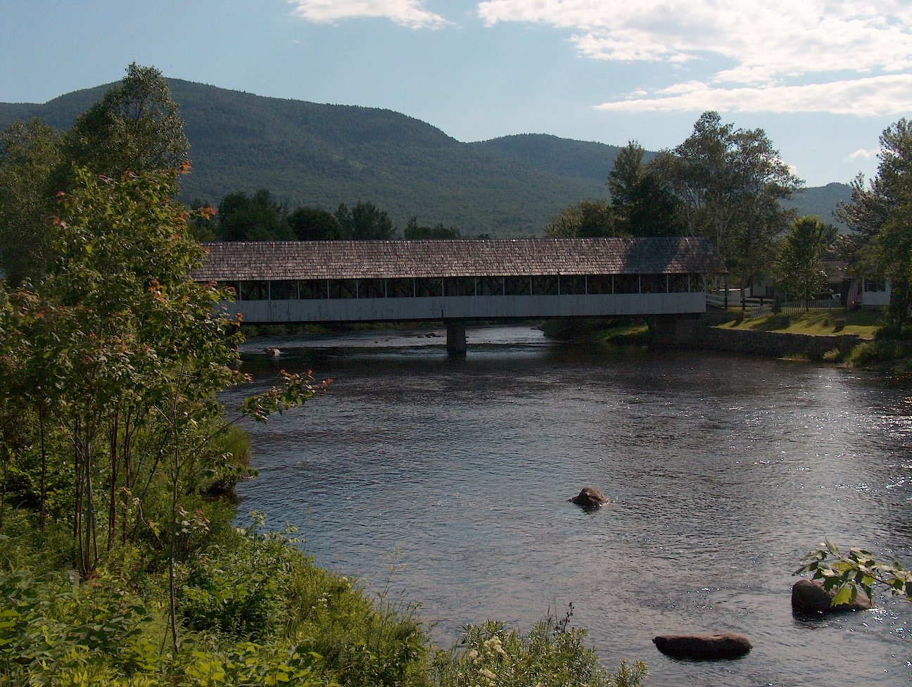 Upper Ammonoosuc RiverCanoeingPhoto: Ken Gallager at English Wikipedia, Public domain (via Wikimedia Commons)2.9 mi
- Rogers Ledge Tent SiteCamping3 mi
- Unknown Pond Tent SiteCamping3.2 mi
 Mount ForistRock climbingPhoto: Jon Platek, CC BY-SA 3.0 (via Wikimedia Commons)7.2 mi
- Madigan AreaRock climbingPhoto: Jon Platek, CC BY-SA 3.0 (via Wikimedia Commons)7.3 mi
 Androscoggin RiverCanoeingPhoto: Mike Cline, CC BY-SA 3.0 (via Wikimedia Commons)9 mi
Source: Roamze catalog (indexable pages within 10 miles, PostGIS distance)
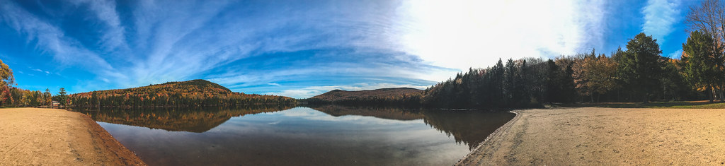 Devil's HopyardHiking · ~10 min drivePhoto: Tony Webster, CC BY-SA 2.0 (via Flickr)
 York Pond TrailHiking · ~10 min drivePhoto: Magicpiano, CC BY-SA 4.0 (via Wikimedia Commons)
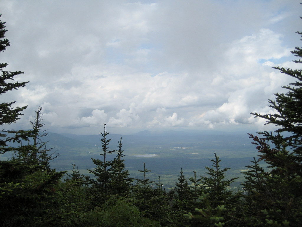 Kilkenny RidgeHiking · ~12 min drivePhoto: timsackton, CC BY-SA 2.0 (via Flickr)
 Cates Hill TrailHiking · ~12 min drivePhoto: Magicpiano, CC BY-SA 4.0 (via Wikimedia Commons)
- York PondHiking · ~2 min drive
 Starr KingHiking · ~15 min drivePhoto: timsackton, CC BY-SA 2.0 (via Flickr)
- Mt. Jasper TrailHiking · ~12 min drivePhoto: Magicpiano, CC BY-SA 4.0 (via Wikimedia Commons)
- Bunnell Notch TrailHiking · ~7 min drive
- Unknown PondHiking · ~2 min drive
- York Pond TrailHiking · ~4 min drive
Also worth it near here
- Upper Ammonoosuc RiverCanoeing · ~5 min drivePhoto: Ken Gallager at English Wikipedia, Public domain (via Wikimedia Commons)
- Rogers Ledge Tent SiteCamping · ~5 min drive
 The HornSummit · ~6 min drivePhoto: Ken Gallager at en.wikipedia, Public domain (via Wikimedia Commons)
- Jericho Mountain State Park Boat RampBoat launch · ~6 min drive
- Mt Cabot CabinHut camping · ~7 min drive
Best time to visit Mill Brook Trail
Best months: August–September. Best months have typical highs of 55–85 °F, lows of 30 °F or warmer (32 °F where the station doesn't record snow), at most one snowy day and no more than 12 wet days.
Jan
25° / 4°
15 wet
Feb
28° / 5°
12 wet
Mar
36° / 15°
12 wet
Apr
49° / 27°
12 wet
May
63° / 39°
15 wet
Jun
71° / 48°
14 wet
Jul
76° / 53°
14 wet
Aug
75° / 51°
12 wet
Sep
68° / 43°
12 wet
Oct
54° / 33°
14 wet
Nov
41° / 24°
13 wet
Dec
30° / 12°
16 wet
Typical high / low (°F) and days with rain or snow, 1991–2020. Measured at York Pond, NH, 0 mi away at 1,519 ft. The station sits about 1,000 ft lower than this place, so expect it a little cooler here. This station doesn't record snowfall. Source: NOAA NCEI U.S. Climate Normals 1991–2020.
