Starr King
 Photo: timsackton, CC BY-SA 2.0 (via Flickr)
- 6.7 mi
- round trip
- 2,873 ft
- climb
- 4,009 ft
- high point
- Out and back
- route
Is Starr King open right now?
Closure in the area
There's a closure order in White Mountain National Forest. It doesn't name Starr King, so check the source for the area it covers (2 listed).
Wild River Fire - Androscoggin Ranger District
Agency closure covering White Mountain National Forest · USFS · White Mountain National Forest
Rattlesnake Fire – Pemigewasset Ranger District
Agency closure covering White Mountain National Forest · USFS · White Mountain National Forest
Town Hall Road Camping and Fire Restrictions
Agency alert covering White Mountain National Forest · USFS · White Mountain National Forest
Lincoln Woods Trail Closure
Agency alert covering White Mountain National Forest · USFS · White Mountain National Forest
Forest Roads Status
Agency alert covering White Mountain National Forest · USFS · White Mountain National Forest
As of · Source: USFS · White Mountain National Forest. Agencies don't list every closure — check before you go.
Starr King is a hard hike in New Hampshire's White Mountain National Forest, within the Androscoggin Ranger District. The route is an out-and-back, about 6.7 miles long, with a total elevation gain of about 2,870 feet and a high point of 4,009 feet. The climb is front-loaded, with the steepest stretch near the start at about 0.88 miles, where the grade reaches about 28%. The trail is natural-surfaced, and the Forest Service allows bikes. It is not an accessible route. The trip is open year-round and estimated to take about 3.5 hours. Kilkenny Ridge lies about 1.8 miles away, and Mud Pond Trail is about 2.7 miles away. Mooseway Trail, a cross-country ski route, is about 2.8 miles away. Cherry Mountain Road Camping is about 7.9 miles away for an overnight stay.
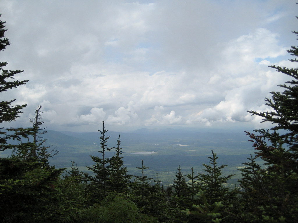 Kilkenny RidgeHikingPhoto: timsackton, CC BY-SA 2.0 (via Flickr)1.8 mi
- Mud Pond TrailHiking2.7 mi
- Mooseway TrailCross-country skiing2.8 mi
 Israel RiverCanoeingPhoto: Ken Gallager at en.wikipedia, Public domain (via Wikimedia Commons)4.2 mi
- Johns RiverCanoeing7.1 mi
- Cherry Mountain Road CampingCamping7.9 mi
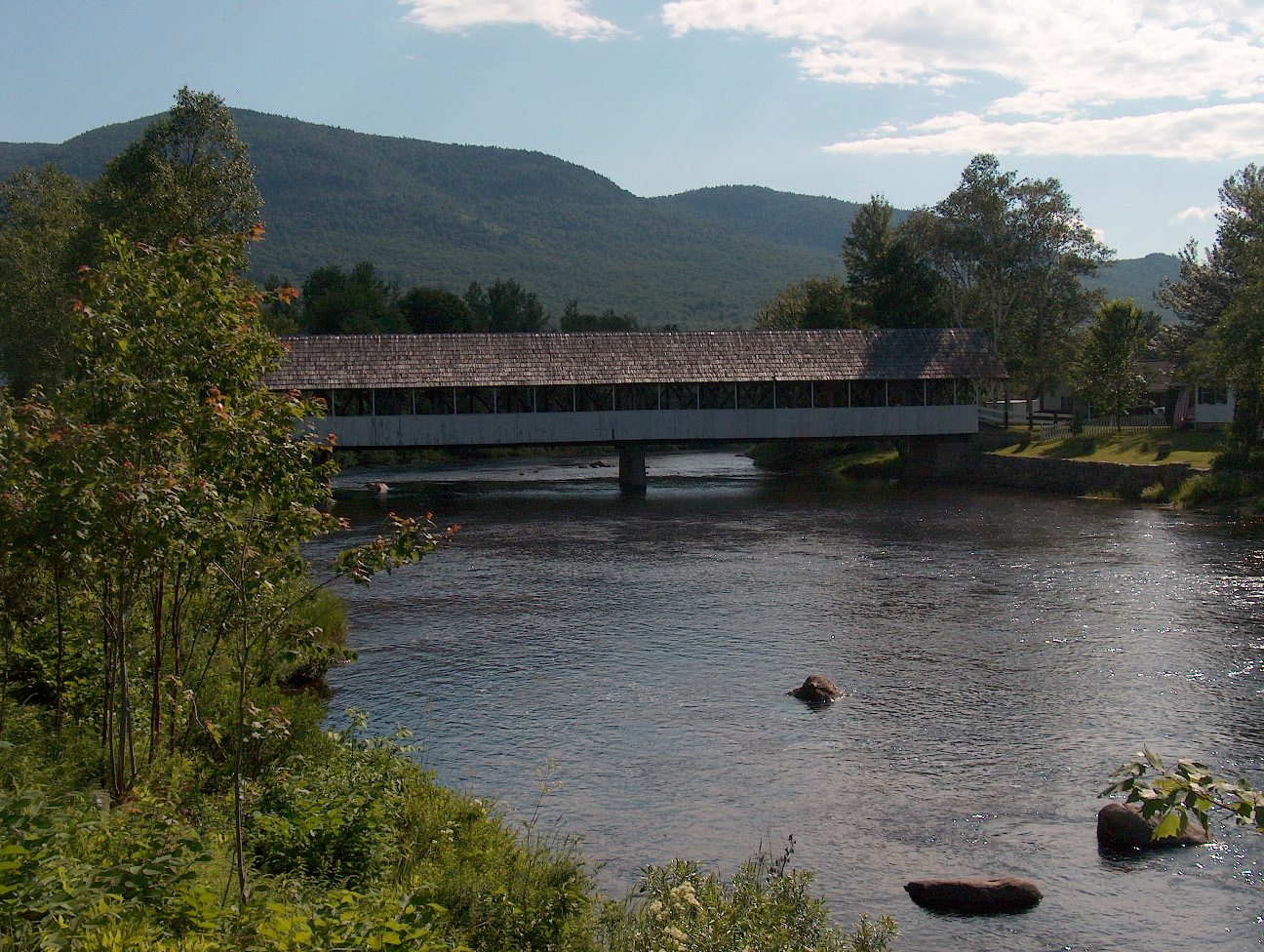 Upper Ammonoosuc RiverCanoeingPhoto: Ken Gallager at English Wikipedia, Public domain (via Wikimedia Commons)8 mi
- Unknown Pond Tent SiteCamping8.5 mi
Source: Roamze catalog (indexable pages within 10 miles, PostGIS distance)
- Kilkenny RidgeHiking · ~3 min drivePhoto: timsackton, CC BY-SA 2.0 (via Flickr)
 York Pond TrailHiking · ~7 min drivePhoto: Magicpiano, CC BY-SA 4.0 (via Wikimedia Commons)
 Whitefield Heritage TrailHiking · ~9 min drivePhoto: Magicpiano, CC BY-SA 4.0 (via Wikimedia Commons)
 Around the Mountain Loop TrailHiking · ~10 min drivePhoto: Magicpiano, CC BY-SA 4.0 (via Wikimedia Commons)
- Presidential Rail TrailHiking · ~6 min drive
- Ken Jordan Nature TrailHiking · ~10 min drivePhoto: Magicpiano, CC BY-SA 4.0 (via Wikimedia Commons)
- New Hampshire Heritage TrailHiking · ~10 min drivePhoto: Magicpiano, CC BY-SA 4.0 (via Wikimedia Commons)
- Owls HeadHiking · ~8 min drive
- New Hampshire Heritage TrailHiking · ~10 min drivePhoto: Magicpiano, CC BY-SA 4.0 (via Wikimedia Commons)
- CastleHiking · ~13 min drive
Route details
- Distance
- 6.7 mi round trip
- Climbing
- About 2,873 ft
- Summit
- 3,913 ft
- Difficulty
- Hard
- Time
- About 3.5 hours
Season
Season: Year-round.
Questions about this route
How long is the Starr King on Mount Starr King?
About 6.7 mi round trip.
How much elevation gain is on the Starr King?
About 2,873 ft of climbing round trip.
How hard is the Starr King?
It is rated hard.
How long does the Starr King take?
About 3.5 hours round trip.
When is the best time for the Starr King?
Year-round.
Conditions and forecast on Mount Starr King
Daily highs and lows, wind and the chance of precipitation at the summit and route start for the next 7 days, from the Open-Meteo model.
