Kilkenny Ridge
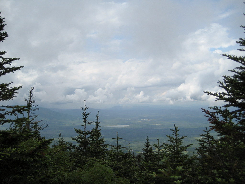 Photo: timsackton, CC BY-SA 2.0 (via Flickr)
- 41.2 mi
- round trip
- 14,429 ft
- climb
- 4,156 ft
- high point
- Out and back
- route
Is Kilkenny Ridge open right now?
Closure in the area
There's a closure order in White Mountain National Forest. It doesn't name Kilkenny Ridge, so check the source for the area it covers (2 listed).
Wild River Fire - Androscoggin Ranger District
Agency closure covering White Mountain National Forest · USFS · White Mountain National Forest
Rattlesnake Fire – Pemigewasset Ranger District
Agency closure covering White Mountain National Forest · USFS · White Mountain National Forest
Town Hall Road Camping and Fire Restrictions
Agency alert covering White Mountain National Forest · USFS · White Mountain National Forest
Lincoln Woods Trail Closure
Agency alert covering White Mountain National Forest · USFS · White Mountain National Forest
Forest Roads Status
Agency alert covering White Mountain National Forest · USFS · White Mountain National Forest
As of · Source: USFS · White Mountain National Forest. Agencies don't list every closure — check before you go.
Kilkenny Ridge is a hard hike in the Androscoggin Ranger District of White Mountain National Forest in New Hampshire, managed by the Forest Service. The route is an out-and-back of about 41 miles, with a total elevation gain of roughly 14,400 feet. The trail starts at about 3,400 feet and climbs to a high point of about 4,150 feet, with the steepest stretch around mile 9 at a grade of about 36 percent. Bikes are allowed on the natural-surface trail, and the route is not accessible. Plan for a long, steep day with plenty of elevation to cover. Starr King lies about 2 miles away, and York Pond Trail and Mt Cabot Trail are each within about 4 miles. Paddlers can reach the Israel River about 4 miles off.
 Starr KingHikingPhoto: timsackton, CC BY-SA 2.0 (via Flickr)1.8 mi
 York Pond TrailHikingPhoto: Magicpiano, CC BY-SA 4.0 (via Wikimedia Commons)3.5 mi
- Mt Cabot TrailHiking3.8 mi
 Israel RiverCanoeingPhoto: Ken Gallager at en.wikipedia, Public domain (via Wikimedia Commons)4.3 mi
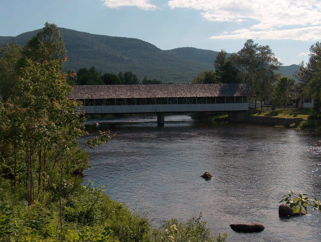 Upper Ammonoosuc RiverCanoeingPhoto: Ken Gallager at English Wikipedia, Public domain (via Wikimedia Commons)6.2 mi
- Unknown Pond Tent SiteCamping7.1 mi
- Rogers Ledge Tent SiteCamping8.6 mi
- Cherry Mountain Road CampingCamping8.7 mi
Source: Roamze catalog (indexable pages within 10 miles, PostGIS distance)
- Starr KingHiking · ~3 min drivePhoto: timsackton, CC BY-SA 2.0 (via Flickr)
- York Pond TrailHiking · ~6 min drivePhoto: Magicpiano, CC BY-SA 4.0 (via Wikimedia Commons)
 Whitefield Heritage TrailHiking · ~12 min drivePhoto: Magicpiano, CC BY-SA 4.0 (via Wikimedia Commons)
 Around the Mountain Loop TrailHiking · ~12 min drivePhoto: Magicpiano, CC BY-SA 4.0 (via Wikimedia Commons)
- Mt Cabot TrailHiking · ~7 min drive
- Ken Jordan Nature TrailHiking · ~12 min drivePhoto: Magicpiano, CC BY-SA 4.0 (via Wikimedia Commons)
- New Hampshire Heritage TrailHiking · ~13 min drivePhoto: Magicpiano, CC BY-SA 4.0 (via Wikimedia Commons)
- Presidential Rail TrailHiking · ~8 min drive
- New Hampshire Heritage TrailHiking · ~12 min drivePhoto: Magicpiano, CC BY-SA 4.0 (via Wikimedia Commons)
- Unknown PondHiking · ~10 min drive
