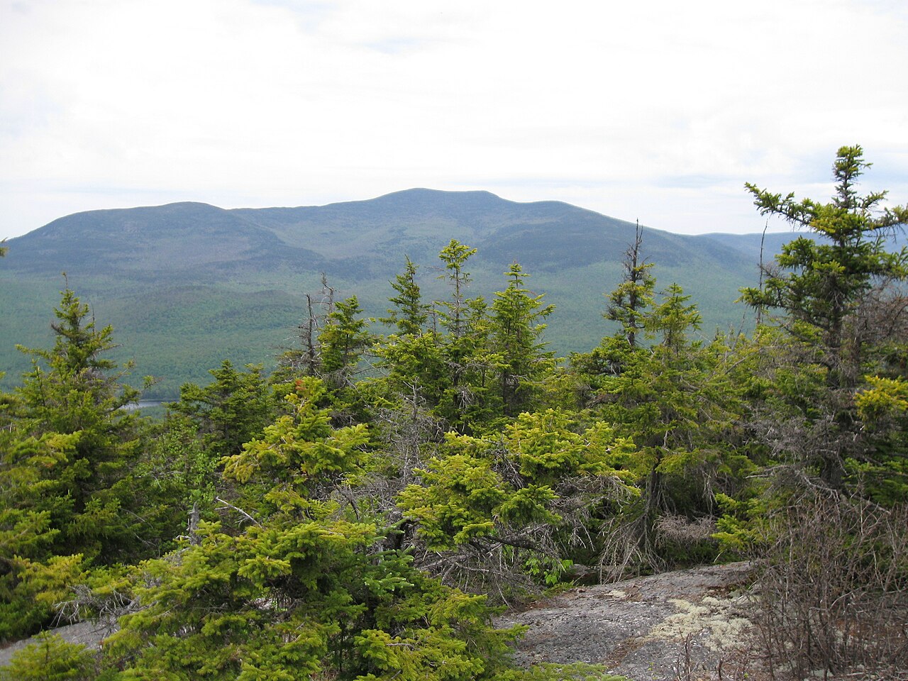
Site #1
Campground
Campground · < 0.1 mi from the trail
Bearcamp River Trail is a short, easy out-and-back hike in New Hampshire's White Mountain Purchase Unit, managed by the Forest Service. The trail is about 0.76 miles long, with a total elevation gain of 147 feet, and it starts and ends at roughly 958 feet, reaching a high point of 1051 feet. The steepest stretch comes at about 0.33 miles in, with a grade of 9 percent. Summer is the most comfortable time to go. Typical averages from a nearby weather station at E Sandwich show July highs around 82°F with lows near 57°F, while September cools to highs around 72°F. That station sits about 360 feet lower than the trail, so temperatures on the trail run a little cooler. The Wentworth Trail lies just 0.1 mile away, and the Alchemist Boulder and Beede Falls Area climbing areas are each about 0.2 mile off. For a longer outing, the Crawford-Ridgepole Trail is about 0.8 mile away.
Site #1
Campground
Sandwich Historical Society
Museum
Places © OpenStreetMap contributors, Places © Overture Maps Foundation
More in North Conway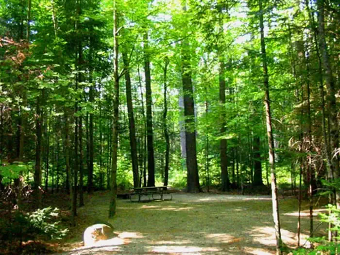 Campton CampgroundCampingPhoto: Recreation.gov (RIDB) / public domain7.7 mi
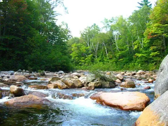 Waterville CampgroundCampingPhoto: Recreation.gov (RIDB) / public domain7.9 mi
Source: Roamze catalog (indexable pages within 10 miles, PostGIS distance)
 Butterworth TrailHiking · ~6 min drivePhoto: rmburnes, CC BY 2.0 (via Flickr)
 Mount Percival TrailHiking · ~7 min drivePhoto: marcn, CC BY 2.0 (via Flickr)Col TrailHiking · ~7 min drivePhoto: marcn, CC BY 2.0 (via Flickr)Five Finger Point TrailHiking · ~8 min drivePhoto: rmburnes, CC BY 2.0 (via Flickr)Undercut TrailHiking · ~7 min drivePhoto: marcn, CC BY 2.0 (via Flickr)Pasture TrailHiking · ~8 min drivePhoto: rmburnes, CC BY 2.0 (via Flickr)
Best months: May–October. Best months have typical highs of 55–85 °F, lows of 30 °F or warmer (32 °F where the station doesn't record snow), at most one snowy day and no more than 12 wet days.
Jan
29° / 10°
Feb
33° / 10°
Mar
42° / 19°
Apr
55° / 30°
May
68° / 42°
Jun
77° / 51°
Jul
82° / 57°
Aug
80° / 55°
Sep
72° / 48°
Oct
58° / 36°
Nov
45° / 27°
Dec
34° / 17°
Typical high / low (°F) and days with rain or snow, 1991–2020. Measured at E Sandwich, NH, 7.2 mi away at 692 ft. This station doesn't record snowfall. Source: NOAA NCEI U.S. Climate Normals 1991–2020.
Map and trail data © OpenStreetMap contributors