Site #3
Campground
Campground · 0.7 mi from the trail
Closure in the area
There's a closure order in White Mountain National Forest. It doesn't name Crawford-Ridgepole Trail, so check the source for the area it covers (2 listed).
Wild River Fire - Androscoggin Ranger District
Agency closure covering White Mountain National Forest · USFS · White Mountain National Forest
Rattlesnake Fire – Pemigewasset Ranger District
Agency closure covering White Mountain National Forest · USFS · White Mountain National Forest
Town Hall Road Camping and Fire Restrictions
Agency alert covering White Mountain National Forest · USFS · White Mountain National Forest
Lincoln Woods Trail Closure
Agency alert covering White Mountain National Forest · USFS · White Mountain National Forest
Forest Roads Status
Agency alert covering White Mountain National Forest · USFS · White Mountain National Forest
As of · Source: USFS · White Mountain National Forest. Agencies don't list every closure — check before you go.
The Crawford-Ridgepole Trail is a 3.4-mile out-and-back hike in the Pemigewasset Ranger District of White Mountain National Forest in New Hampshire. It rises from 1,279 feet to 2,205 feet, with a total elevation gain of 1,431 feet, and is rated moderate. The trailhead is named Crawford Ridgepole Trailhead, and the trip is estimated to take about two hours. The climb is front-loaded, with the steepest stretch at about 0.33 miles from the start, where the grade reaches 43%. That makes the first part of the route the most demanding, and the trail is roughly twice as long as the 1.7-mile distance listed in the place's stats. Summer is the most comfortable time to go. Typical averages from a nearby weather station at Waterville Valley run to highs around 77°F in July, with lows near 54°F. That station sits about 776 feet lower than the trail's high point, so temperatures on the ridge run cooler. Climbers will find Highlander Wall, Roadside Area and Working Man Boulder all about 0.1 mile from the trail. The Bearcamp River Trail and Wentworth Trail are each within a mile.
Site #3
Campground
Sandwich Historical Society
Museum
Places © OpenStreetMap contributors, Places © Overture Maps Foundation
More in North ConwayDaily highs and lows, wind and the chance of precipitation at the summit and route start for the next 7 days, from the Open-Meteo model.
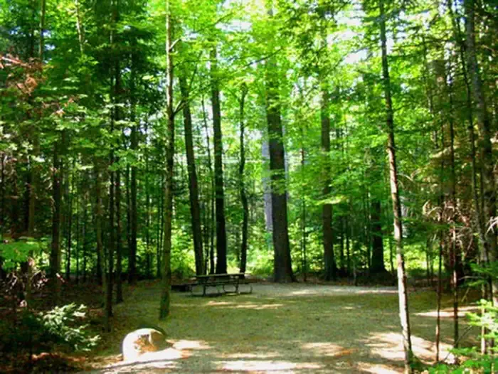 Campton CampgroundCampingPhoto: Recreation.gov (RIDB) / public domain7 mi
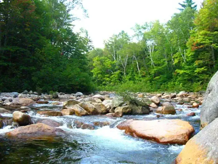 Waterville CampgroundCampingPhoto: Recreation.gov (RIDB) / public domain7.8 mi
Source: Roamze catalog (indexable pages within 10 miles, PostGIS distance)
 Butterworth TrailHiking · ~5 min drivePhoto: rmburnes, CC BY 2.0 (via Flickr)
 Mount Percival TrailHiking · ~6 min drivePhoto: marcn, CC BY 2.0 (via Flickr)Col TrailHiking · ~6 min drivePhoto: marcn, CC BY 2.0 (via Flickr)Five Finger Point TrailHiking · ~7 min drivePhoto: rmburnes, CC BY 2.0 (via Flickr)Undercut TrailHiking · ~6 min drivePhoto: marcn, CC BY 2.0 (via Flickr)Pasture TrailHiking · ~7 min drivePhoto: rmburnes, CC BY 2.0 (via Flickr)
Best months: May–October. Best months have typical highs of 55–85 °F, lows of 30 °F or warmer (32 °F where the station doesn't record snow), at most one snowy day and no more than 12 wet days.
Jan
28° / 6°
Feb
30° / 6°
Mar
38° / 15°
Apr
50° / 28°
May
63° / 40°
Jun
72° / 49°
Jul
77° / 54°
Aug
76° / 52°
Sep
69° / 45°
Oct
56° / 34°
Nov
43° / 25°
Dec
33° / 14°
Typical high / low (°F) and days with rain or snow, 1991–2020. Measured at Waterville Valley Nepp, NH, 8.1 mi away at 1,429 ft. The station sits about 800 ft lower than this place, so expect it a little cooler here. This station doesn't record snowfall. Source: NOAA NCEI U.S. Climate Normals 1991–2020.
About 1.7 mi round trip from Crawford Ridgepole Trailhead.
About 1,431 ft of climbing round trip.
It is rated moderate.
Crawford Ridgepole Trailhead.
About 1 hour round trip.
3: Doublehead Trail, Crawford-Ridgepole Trail and Crawford-Ridgepole Trail.
Map and trail data © OpenStreetMap contributors
