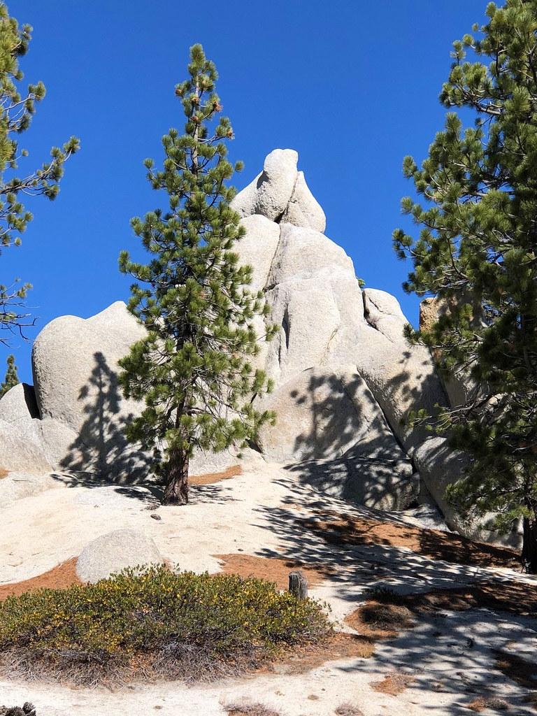
Mount Rose Campground
Campground
Campground · 1.8 mi from the trail
 Photo: Ken Lund from Reno, Nevada, USA, CC BY-SA 2.0 (via Wikimedia Commons)
Closure in the area
There's a closure order in Carson Ranger District. It doesn't name Ophir Creek, so check the source for the area it covers (3 listed).
Hawk Fire Closure (Carson Ranger District)
Agency closure covering Carson Ranger District · Order 04-17-26-01-08 · USFS · Carson Ranger District
Emergency Recreation Shooting Order (Carson Ranger District)
Agency closure covering Carson Ranger District · Order 04-17-26-01-05 · USFS · Carson Ranger District
Elephant Fire Closure
Agency closure covering Humboldt-Toiyabe National Forest · Order 04-17-26-01-04 · USFS · Humboldt-Toiyabe National Forest
Floriston Fire Closure
Agency alert covering Carson Ranger District · Order 17-26-24 · USFS · Carson Ranger District
Power line construction along SR 88, Alpine County, California (Carson Ranger District)
Agency alert covering Carson Ranger District · USFS · Carson Ranger District
As of · Source: USFS · Carson Ranger District. Agencies don't list every closure — check before you go.
Ophir Creek is a mountain biking route in Nevada's Humboldt-Toiyabe National Forest, within the Carson Ranger District. The Forest Service manages the land, and the ride covers about 7.5 miles with a total elevation gain of 3,628 feet, climbing from roughly 5,200 feet to about 8,600 feet at its high point. The climb is steep in places, with the steepest stretch at about 2.6 miles in, where the grade reaches 30 percent. The route also has a total descent of about 800 feet, so it's not a straightforward ascent. The Price Lake Connector hike starts just 0.2 miles away, and the Rock Lake mountain biking trail is about 0.7 miles off. Mt. Rose Campground sits about 1.8 miles away, and climbers can find Main Rock about 3.7 miles from the route.
Mount Rose Campground
Campground
Fox Cultural Hall
Museum
Places © OpenStreetMap contributors
More in Sunnyside-Tahoe CityNot on Roamze yet. Their page has how to reach them.
 Photo: Famartin, CC BY-SA 4.0 (via Wikimedia Commons)
Lower Meadow Loop
~3 min drive
0.58-mile loop at Tahoe Meadows Trailhead with 128 ft of elevation gain
 Photo: AT2663, CC BY-SA 3.0 (via Wikimedia Commons)
Tahoe Rim Trail
~9 min drive
2.53-mile out-and-back singletrack with 1,114 ft gain in Nevada
Photo: AT2663, CC BY-SA 3.0 (via Wikimedia Commons)Tahoe Rim Trail
~12 min drive
Hard singletrack out and back in California, 0.33 miles with 84 ft gain.
RIDE
Tyrolean Downhill
~5 min drive
2.99-mile out-and-back singletrack with 115 ft gain in Nevada.
Photo: Famartin, CC BY-SA 4.0 (via Wikimedia Commons)Tahoe Meadows Interpretive Tra
~3 min drive
1.17-mile trail in Nevada with 192 ft elevation gain
Photo: AT2663, CC BY-SA 3.0 (via Wikimedia Commons)Tahoe Rim Trail
~12 min drive
0.82-mile easy singletrack out-and-back in Nevada with 74 ft elevation gain.
RIDE
Gray Lake Trail
~6 min drive
1.03-mile out-and-back singletrack in Nevada with 118 ft elevation gain.
 Photo: ShakataGaNai, CC BY-SA 3.0 (via Wikimedia Commons)
Gray Creek
~8 min drive
0.85-mile trail in Nevada's Tahoe Meadows Trailhead with 113 ft elevation gain
Photo: AT2663, CC BY-SA 3.0 (via Wikimedia Commons)Tahoe Rim Trail
~11 min drive
0.93-mile easy singletrack out-and-back with 276 ft gain in Nevada
Photo: ShakataGaNai, CC BY-SA 3.0 (via Wikimedia Commons)Gray Lake Loop
~8 min drive
0.41-mile loop at Tahoe Meadows Trailhead with 125 ft of elevation gain
Map and trail data © OpenStreetMap contributors