Lower Showgirl
- 4.7 mi
- distance
- 1,715 ft
- climb
- May–Oct
- best months
Caution today
Agency alerts are in effect for this area; weather is good · USFS, OpenWeather · checked 9 h ago
Is Lower Showgirl open right now?
Closure in the area
There's a closure order in Humboldt-Toiyabe National Forest. It doesn't name Lower Showgirl, so check the source for the area it covers.
Elephant Fire Closure
Agency closure covering Humboldt-Toiyabe National Forest · Order 04-17-26-01-04 · USFS · Humboldt-Toiyabe National Forest
Area, Road, and Trail Closures (Spring Mountains National Recreation Area)
Agency alert covering Humboldt-Toiyabe National Forest · Order 04-17-25-04 · USFS · Humboldt-Toiyabe National Forest
Year-Round Fire Restrictions (Spring Mountains National Recreation Area)
Agency alert covering Humboldt-Toiyabe National Forest · Order 04-17-24-01 · USFS · Humboldt-Toiyabe National Forest
Vehicle Snow Chain Requirements during Inclement Weather (Spring Mountains National Recreation Area)
Agency alert covering Humboldt-Toiyabe National Forest · Order 04-17-23-01 · USFS · Humboldt-Toiyabe National Forest
Rainbow Canyon Flood Diversion Structure Closure (Spring Mountains National Recreation Area)
Agency alert covering Humboldt-Toiyabe National Forest · Order 04-17-15-01 · USFS · Humboldt-Toiyabe National Forest
As of · Source: USFS · Humboldt-Toiyabe National Forest. Agencies don't list every closure — check before you go.
Lower Showgirl is a mountain biking route in Nevada's Spring Mountains National Recreation Area, part of the Humboldt-Toiyabe National Forest. The Forest Service manages the land, and the route lies within the recreation area's ranger district. The climb is a 4.7-mile ride with a total elevation gain of 1,715 feet, from a starting point at about 7,476 feet to a high point of 7,499 feet. The route also has a total descent of 2,052 feet, so it works as a loop or a longer outing. The steepest stretch comes early, at about 0.24 miles in, with a grade of 39 percent. Summer is the most comfortable time to ride. Typical averages from a nearby weather station at a similar elevation show July highs around 79°F with lows near 52°F, while winter highs sit in the mid-40s. Several other destinations sit close by. The Snake Bend Trail and Powerline Trail A are both within a mile, and the Shady Hollow mountain biking area is about 0.9 miles away. The Spring Mountains Visitor Gateway Group Picnic Sites are about 1.3 miles off.
 SNAKE BEND TRAILHikingPhoto: stevelyon, CC BY-SA 2.0 (via Flickr)0.6 mi
- POWERLINE TRAIL AHikingPhoto: stevelyon, CC BY-SA 2.0 (via Flickr)0.8 mi
- Shady HollowMountain biking0.9 mi
- Spring Mountains Visitor Gateway Group Picnic SitesCamping1.3 mi
- Starter CragRock climbing1.5 mi
- Kyle Canyon Picnic Area Day UseCamping2.7 mi
- Kyle Canyon CampgroundCamping2.8 mi
- The Glass HouseRock climbing2.9 mi
Source: Roamze catalog (indexable pages within 10 miles, PostGIS distance)
 Original ShowgirlMountain biking · ~3 min drivePhoto: bahniuk, CC BY 3.0 (via Wikimedia Commons)
- Bob GnarlyMountain biking · ~25 min drive
- Link TrailMountain biking · ~4 min drivePhoto: bahniuk, CC BY 3.0 (via Wikimedia Commons)
- Three Amigos (Difficult)Mountain biking · ~25 min drive
 AcastusMountain biking · ~4 min drivePhoto: Crishazzard, CC BY-SA 4.0 (via Wikimedia Commons)
- Radio TowerMountain biking · ~26 min drive
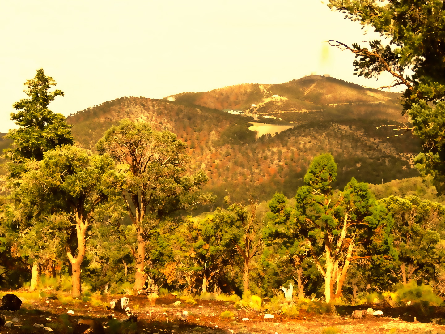 PixieMountain biking · ~5 min drivePhoto: bahniuk, CC BY 3.0 (via Wikimedia Commons)
- Ridge (Difficult)Mountain biking · ~26 min drive
 Percocet TrailMountain biking · ~5 min drivePhoto: bahniuk, CC BY 3.0 (via Wikimedia Commons)
- Robbers' RoostMountain biking · ~5 min drivePhoto: bahniuk, CC BY 3.0 (via Wikimedia Commons)
Best time to visit Lower Showgirl
Best months: May–October. Best months have typical highs of 55–85 °F, lows of 30 °F or warmer (32 °F where the station doesn't record snow), at most one snowy day and no more than 12 wet days.
Jan
44° / 22°
6 wet
Feb
44° / 22°
6 wet
Mar
49° / 26°
6 wet
Apr
55° / 30°
4 wet
May
63° / 37°
4 wet
Jun
74° / 46°
2 wet
Jul
79° / 52°
5 wet
Aug
78° / 52°
6 wet
Sep
72° / 44°
4 wet
Oct
62° / 35°
3 wet
Nov
51° / 27°
4 wet
Dec
44° / 21°
5 wet
Typical high / low (°F) and days with rain or snow, 1991–2020. Measured at Mt Charleston Fire Stn, NV, 4.7 mi away at 7,460 ft. This station doesn't record snowfall. Source: NOAA NCEI U.S. Climate Normals 1991–2020.

Map and trail data © OpenStreetMap contributors
