Carson Valley Inn RV Resort
Campground
Campground · 4.1 mi from the trail
Closure in the area
There's a closure order in Humboldt-Toiyabe National Forest. It doesn't name West Fork Trail, so check the source for the area it covers.
Elephant Fire Closure
Agency closure covering Humboldt-Toiyabe National Forest · Order 04-17-26-01-04 · USFS · Humboldt-Toiyabe National Forest
Floriston Fire Closure
Agency alert covering Carson Ranger District · Order 17-26-24 · USFS · Carson Ranger District
Power line construction along SR 88, Alpine County, California (Carson Ranger District)
Agency alert covering Carson Ranger District · USFS · Carson Ranger District
Over-Snow Vehicle Closure (Carson Ranger District)
Agency alert covering Carson Ranger District · Order 04-17-25-12 · USFS · Carson Ranger District
Area, Road, and Trail Closures (Spring Mountains National Recreation Area)
Agency alert covering Humboldt-Toiyabe National Forest · Order 04-17-25-04 · USFS · Humboldt-Toiyabe National Forest
As of · Source: USFS · Humboldt-Toiyabe National Forest. Agencies don't list every closure — check before you go.
West Fork Trail is an easy, short hike in Nevada's Humboldt-Toiyabe National Forest, within the Carson Ranger District and the River Fork Ranch Preserve. The trail is managed by a non-governmental organization. The route is an out-and-back that starts and ends at roughly 4,670 feet. The climb is almost nonexistent, with only about 34 feet of total gain and loss across the 4.1-mile round trip. The high point sits at 4,678 feet, and the low point at 4,666 feet, so the trail stays nearly flat throughout. Late spring and early fall are the most comfortable times to go. Typical averages from a nearby weather station in Minden run from highs around 73°F in May to about 83°F in September, while July and August average around 90°F. The hike takes about 1.5 hours. Sierra Canyon and the Genoa Foothill Trail are both within about 2 miles, and Nevada Beach Campground is about 7 miles away. Climbers can find Castle Rock about 4.5 miles off.
Carson Valley Inn RV Resort
Campground
Places © OpenStreetMap contributors, Places © Overture Maps Foundation
More in Sunnyside-Tahoe CityNot on Roamze yet. Their page has how to reach them.
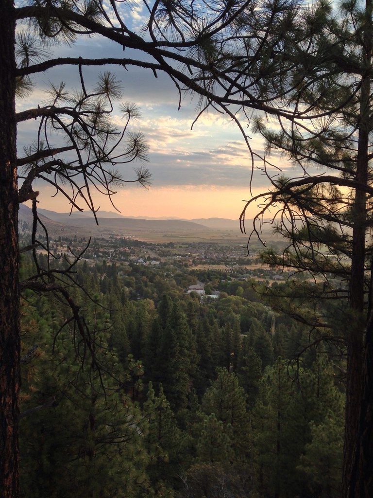 Genoa Foothill TrailHikingPhoto: jfdervin, CC BY-SA 2.0 (via Flickr)1.7 mi
 Nevada Beach CampgroundCampingPhoto: Recreation.gov (RIDB) / public domain6.9 mi
 Hope ValleyCampingPhoto: Recreation.gov (RIDB) / public domain9 mi
Source: Roamze catalog (indexable pages within 10 miles, PostGIS distance)
 East Brockliss LoopHiking · Next doorPhoto: Nouhailler, CC BY-SA 2.0 (via Flickr)Genoa Foothill TrailHiking · ~3 min drivePhoto: jfdervin, CC BY-SA 2.0 (via Flickr)
 Zephyr Cove Stables TrailsHiking · ~11 min drivePhoto: inkknife_2000 (7.5 million views +), CC BY-SA 2.0 (via Wikimedia Commons)
 TRT: Spooner Summit to Kingsbury SouthHiking · ~7 min drivePhoto: jfdervin, CC BY-SA 2.0 (via Flickr)
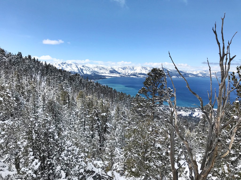 Van Sickle TrailHiking · ~8 min drivePhoto: jfdervin, CC BY-SA 2.0 (via Flickr)
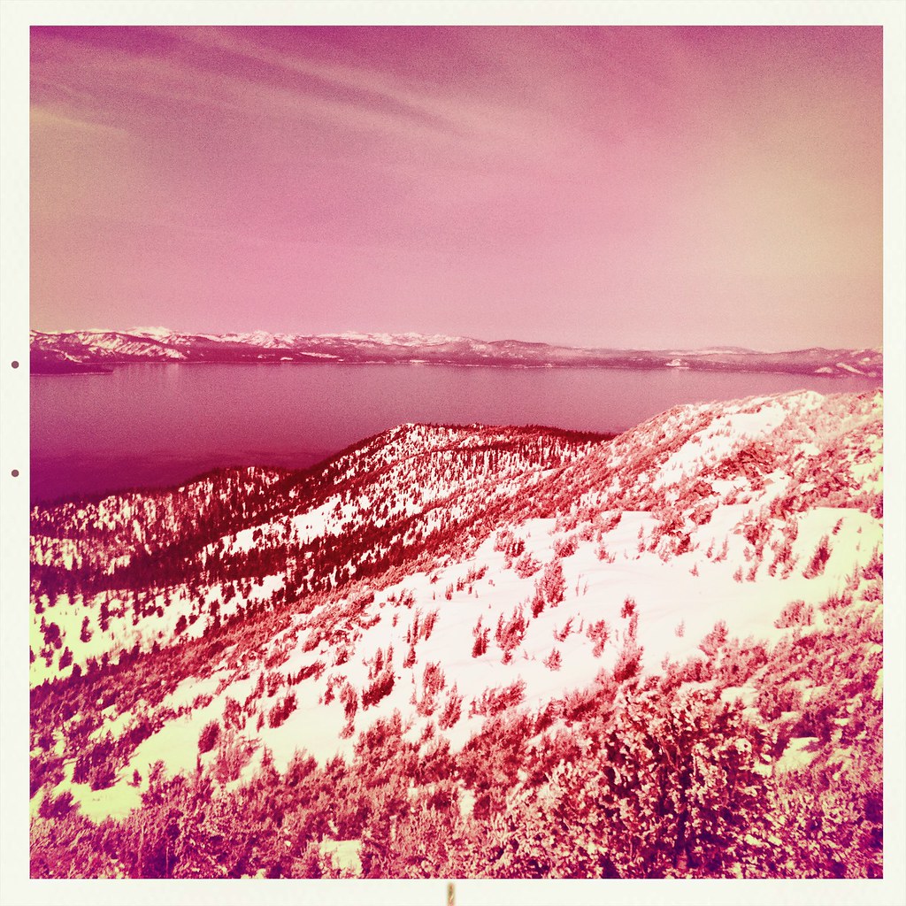 Monument Pass TrailHiking · ~11 min drivePhoto: denverkid, CC BY 2.0 (via Flickr)Olympic TrailHiking · ~8 min drivePhoto: jfdervin, CC BY-SA 2.0 (via Flickr)
 Bently Heritage TrailHiking · ~8 min drivePhoto: Seth Tisue, CC BY-SA 2.0 (via Flickr)
Also worth it near here
Best months: April–June and September–October. Best months have typical highs of 55–85 °F, lows of 30 °F or warmer (32 °F where the station doesn't record snow), at most one snowy day and no more than 12 wet days.
Jan
47° / 19°
6 wet · 3 snow
Feb
51° / 22°
6 wet · 2 snow
Mar
58° / 27°
5 wet · 2 snow
Apr
64° / 30°
4 wet · 1 snow
May
73° / 38°
3 wet
Jun
83° / 44°
2 wet
Jul
91° / 49°
2 wet
Aug
90° / 47°
2 wet
Sep
83° / 40°
2 wet
Oct
71° / 31°
3 wet
Nov
57° / 23°
4 wet · 1 snow
Dec
46° / 19°
6 wet · 2 snow
Typical high / low (°F) and days with rain or snow, 1991–2020. Measured at Minden, NV, 4 mi away at 4,709 ft. Source: NOAA NCEI U.S. Climate Normals 1991–2020.
Map and trail data © OpenStreetMap contributors


