Nevada 4-H Camp
Campground
Campground · 3.5 mi from the trail
 Photo: jfdervin, CC BY-SA 2.0 (via Flickr)
Closure in the area
There's a closure order in Lake Tahoe Basin Management Unit. It doesn't name TRT: Spooner Summit to Kingsbury South, so check the source for the area it covers.
Harmful Algal Blooms
Agency closure covering Lake Tahoe Basin Management Unit · USFS · Lake Tahoe Basin Management Unit
Desolation Wilderness Food and Refuse Storage (Bear Canister) Restriction
Agency alert covering Lake Tahoe Basin Management Unit · Order 19-25-06 · USFS · Lake Tahoe Basin Management Unit
Meyers Landfill Area Closure
Agency alert covering Lake Tahoe Basin Management Unit · Order 19-25-01 · USFS · Lake Tahoe Basin Management Unit
Campfire Restrictions
Agency alert covering Lake Tahoe Basin Management Unit · Order 19-24-04 · USFS · Lake Tahoe Basin Management Unit
Camping/Overnight Stay Restriction
Agency alert covering Lake Tahoe Basin Management Unit · Order 19-24-05 · USFS · Lake Tahoe Basin Management Unit
As of · Source: USFS · Lake Tahoe Basin Management Unit. Agencies don't list every closure — check before you go.
Spooner Summit to Kingsbury South is a short, easy hike in the Lake Tahoe Basin Management Unit in Nevada, about 0.37 miles long and with a one-way climb of 165 feet. The route is an out-and-back, and the full round trip covers about 0.74 miles with a total gain and loss of 247 feet each. The steepest part comes early, at about 0.1 mile from the start, with a grade of 24 percent. Summer is the most comfortable time to go. Typical averages from the nearby Dagget Pass weather station show July highs around 75°F and lows near 49°F, with only about two wet days a month from June through September. That station sits a few hundred feet lower than the trail, so temperatures on the summit run a little cooler. The Tahoe Rim Trail Kbs T/H Spur and the Olympic Trail, both mountain biking routes, lie within a quarter mile. Climbers can head to Central Gully and Village Wall, about 2.5 miles away. Nevada Beach Campground is roughly 3.9 miles off.
Nevada 4-H Camp
Campground
On Tahoe Time
Gallery
Places © OpenStreetMap contributors
More in Sunnyside-Tahoe CityNot on Roamze yet. Their page has how to reach them.
 Nevada Beach CampgroundCampingPhoto: Recreation.gov (RIDB) / public domain3.9 mi
 Hope ValleyCampingPhoto: Recreation.gov (RIDB) / public domain4.8 mi
Source: Roamze catalog (indexable pages within 10 miles, PostGIS distance)
Olympic TrailHiking · Next doorPhoto: jfdervin, CC BY-SA 2.0 (via Flickr)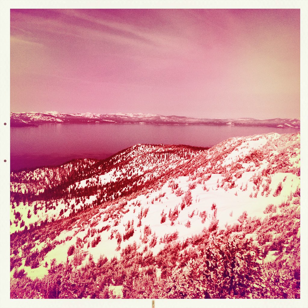 Monument Pass TrailHiking · ~5 min drivePhoto: denverkid, CC BY 2.0 (via Flickr)
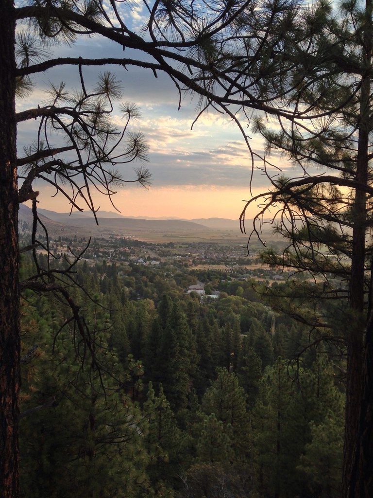 Genoa Foothill TrailHiking · ~5 min drivePhoto: jfdervin, CC BY-SA 2.0 (via Flickr)
 K to K TrailHiking · ~4 min drivePhoto: inkknife_2000 (7.5 million views +), CC BY-SA 2.0 (via Wikimedia Commons)
 Zephyr Cove Stables TrailsHiking · ~8 min drivePhoto: inkknife_2000 (7.5 million views +), CC BY-SA 2.0 (via Wikimedia Commons)
 Cold Creek TrailHiking · ~9 min drivePhoto: DaltonKat2, CC BY-SA 2.0 (via Flickr)
 Cal Neva LoopHiking · ~4 min drivePhoto: inkknife_2000 (7.5 million views +), CC BY-SA 2.0 (via Wikimedia Commons)Power Line TrailHiking · ~9 min drivePhoto: DaltonKat2, CC BY-SA 2.0 (via Flickr)Barn TrailHiking · ~5 min drivePhoto: inkknife_2000 (7.5 million views +), CC BY-SA 2.0 (via Wikimedia Commons)
Best months: May–October. Best months have typical highs of 55–85 °F, lows of 30 °F or warmer (32 °F where the station doesn't record snow), at most one snowy day and no more than 12 wet days.
Jan
36° / 23°
9 wet
Feb
37° / 23°
8 wet
Mar
42° / 26°
7 wet
Apr
48° / 29°
5 wet
May
56° / 35°
4 wet
Jun
66° / 42°
2 wet
Jul
75° / 49°
2 wet
Aug
74° / 49°
1 wet
Sep
67° / 44°
2 wet
Oct
55° / 36°
3 wet
Nov
43° / 28°
5 wet
Dec
35° / 23°
7 wet
Typical high / low (°F) and days with rain or snow, 1991–2020. Measured at Dagget Pass, NV, 1.5 mi away at 7,334 ft. This station doesn't record snowfall. Source: NOAA NCEI U.S. Climate Normals 1991–2020.

