Zephry Cove RV Park and Campground
Campground
Campground · 4.8 mi from the trail
Closure in the area
There's a closure order in Carson Ranger District. It doesn't name Eagle Ridge Loop, so check the source for the area it covers (3 listed).
Hawk Fire Closure (Carson Ranger District)
Agency closure covering Carson Ranger District · Order 04-17-26-01-08 · USFS · Carson Ranger District
Emergency Recreation Shooting Order (Carson Ranger District)
Agency closure covering Carson Ranger District · Order 04-17-26-01-05 · USFS · Carson Ranger District
Elephant Fire Closure
Agency closure covering Humboldt-Toiyabe National Forest · Order 04-17-26-01-04 · USFS · Humboldt-Toiyabe National Forest
Floriston Fire Closure
Agency alert covering Carson Ranger District · Order 17-26-24 · USFS · Carson Ranger District
Power line construction along SR 88, Alpine County, California (Carson Ranger District)
Agency alert covering Carson Ranger District · USFS · Carson Ranger District
As of · Source: USFS · Carson Ranger District. Agencies don't list every closure — check before you go.
Eagle Ridge Loop is a 4.7-mile out-and-back hike in Nevada's Humboldt-Toiyabe National Forest, on the Carson Ranger District. The route climbs from a starting point at about 5,755 feet to a high of 5,810 feet, with a total elevation gain of 610 feet. The trail is rated hard, and the steepest stretch begins within the first third of a mile, with a 24% grade. The most comfortable months for a visit are July and August, when typical highs at the Glenbrook weather station reach the mid-70s and only a day or two a month brings rain. That station sits about 540 feet higher than the trail's start, so expect temperatures on the ridge to run slightly warmer. Sierra Canyon is about half a mile away and the Genoa Foothill Trail about 1.5 miles off. Climbers can head to Castle Rock, roughly 3.4 miles away, and Nevada Beach Campground is about 5.7 miles from the trail.
Zephry Cove RV Park and Campground
Campground
Places © OpenStreetMap contributors
More in Sunnyside-Tahoe CityNot on Roamze yet. Their page has how to reach them.
Best months: May–October. Best months have typical highs of 55–85 °F, lows of 30 °F or warmer (32 °F where the station doesn't record snow), at most one snowy day and no more than 12 wet days.
Jan
41° / 25°
8 wet
Feb
41° / 25°
7 wet
Mar
46° / 28°
6 wet
Apr
51° / 30°
4 wet
May
59° / 37°
4 wet
Jun
69° / 42°
2 wet
Jul
77° / 50°
1 wet
Aug
76° / 50°
1 wet
Sep
71° / 45°
2 wet
Oct
60° / 38°
3 wet
Nov
48° / 30°
5 wet
Dec
40° / 25°
7 wet
Typical high / low (°F) and days with rain or snow, 1991–2020. Measured at Glenbrook, NV, 6 mi away at 6,350 ft. The station sits about 500 ft higher than this place, so expect it a little warmer here. This station doesn't record snowfall. Source: NOAA NCEI U.S. Climate Normals 1991–2020.
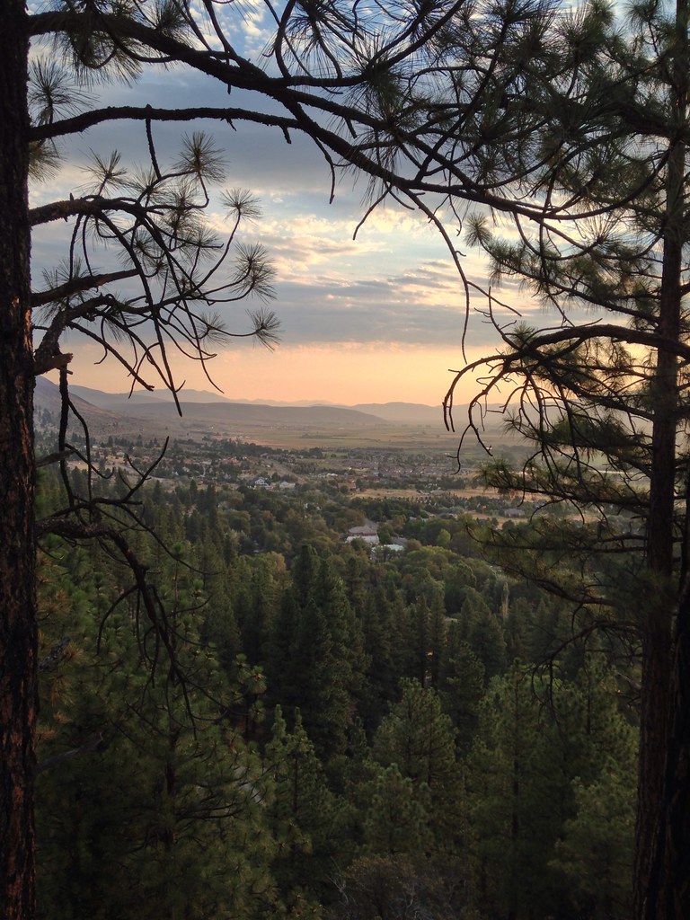 Photo: jfdervin, CC BY-SA 2.0 (via Flickr)
Genoa Foothill Trail
~3 min drive
15.70-mile out-and-back trail in Nevada with 977 ft gain.
 Photo: Nouhailler, CC BY-SA 2.0 (via Flickr)
East Brockliss Loop
~4 min drive
0.88-mile out-and-back trail in Nevada with 7 ft elevation gain.
 Photo: inkknife_2000 (7.5 million views +), CC BY-SA 2.0 (via Wikimedia Commons)
Zephyr Cove Stables Trails
~8 min drive
4.71-mile out-and-back trail in Nevada with 510 ft gain.
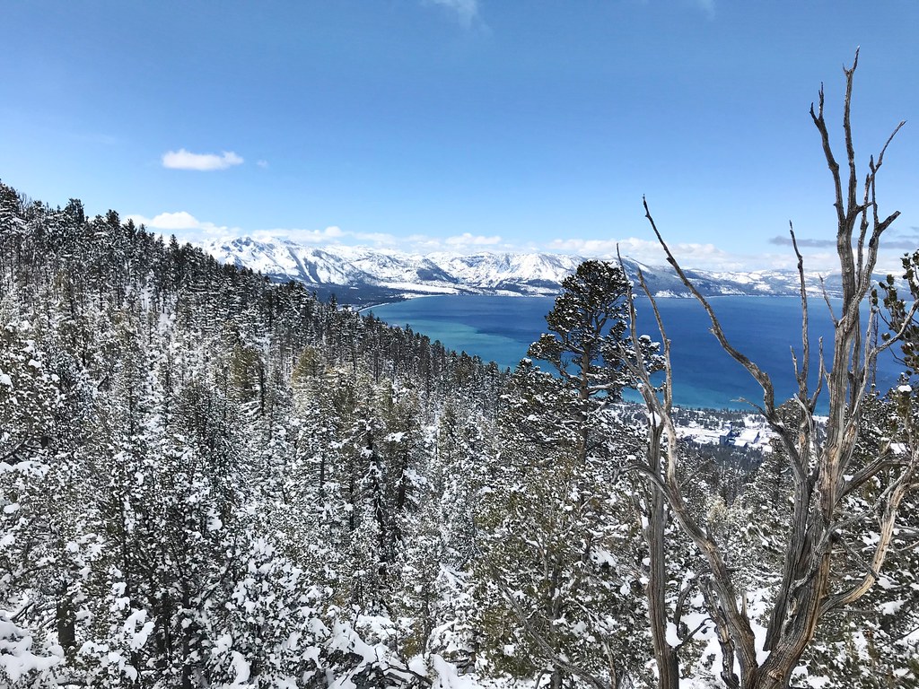 Photo: jfdervin, CC BY-SA 2.0 (via Flickr)
Van Sickle Trail
~8 min drive
6.50-mile out-and-back trail in Nevada with 862 ft gain and 2,258 ft loss.
 Photo: jfdervin, CC BY-SA 2.0 (via Flickr)
TRT: Spooner Summit to Kingsbury South
~8 min drive
Brief TRT segment with alpine views near Spooner Summit.
 Photo: simonov, CC BY-SA 2.0 (via Flickr)
North Canyon Rd
~12 min drive
4.55-mile out-and-back canyon road hike in Nevada.
HIKE
Sierra Canyon
~1 min drive
19.46-mile out-and-back trail in Nevada with 3,479 ft gain
Photo: jfdervin, CC BY-SA 2.0 (via Flickr)Olympic Trail
~8 min drive
0.8-mile out-and-back trail in Nevada with 357 ft of elevation gain.
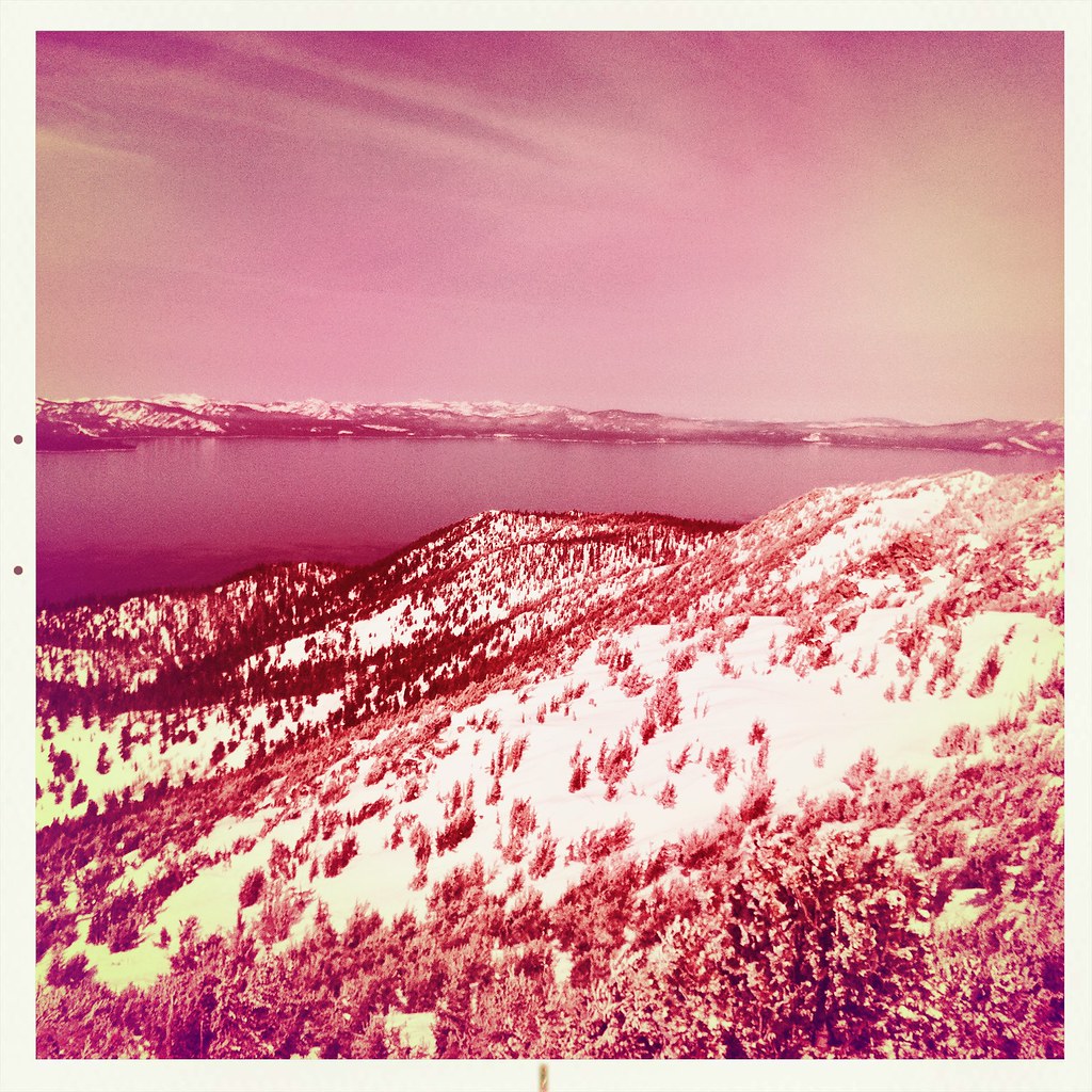 Photo: denverkid, CC BY 2.0 (via Flickr)
Monument Pass Trail
~12 min drive
5.3-mile out-and-back trail in California with 2,249 ft elevation gain and loss.
HIKE
Trt Daggett North Loop
~6 min drive
6.80-mile out-and-back trail in Nevada with 847 ft elevation gain.
Map and trail data © OpenStreetMap contributors


