Marlette Peak Campground
Campground
Campground · < 0.1 mi from the trail
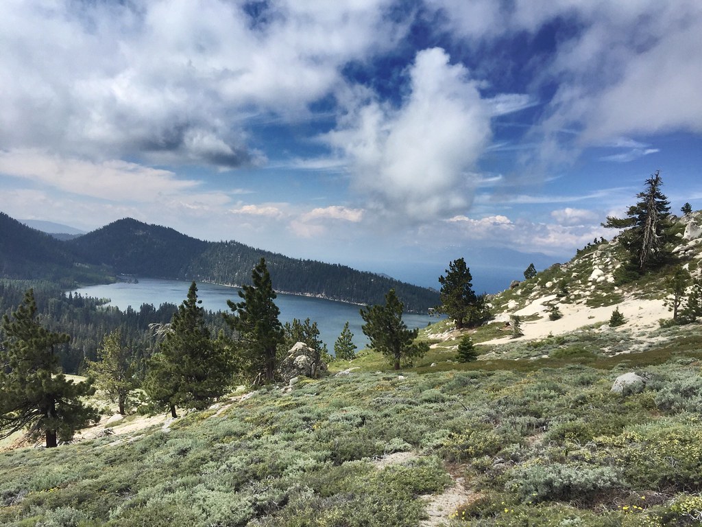 Photo: jfdervin, CC BY-SA 2.0 (via Flickr)
Closure in the area
There's a closure order in Carson Ranger District. It doesn't name Trt Marlette Peak Loop, so check the source for the area it covers (3 listed).
Hawk Fire Closure (Carson Ranger District)
Agency closure covering Carson Ranger District · Order 04-17-26-01-08 · USFS · Carson Ranger District
Emergency Recreation Shooting Order (Carson Ranger District)
Agency closure covering Carson Ranger District · Order 04-17-26-01-05 · USFS · Carson Ranger District
Elephant Fire Closure
Agency closure covering Humboldt-Toiyabe National Forest · Order 04-17-26-01-04 · USFS · Humboldt-Toiyabe National Forest
Floriston Fire Closure
Agency alert covering Carson Ranger District · Order 17-26-24 · USFS · Carson Ranger District
Power line construction along SR 88, Alpine County, California (Carson Ranger District)
Agency alert covering Carson Ranger District · USFS · Carson Ranger District
As of · Source: USFS · Carson Ranger District. Agencies don't list every closure — check before you go.
The Marlette Peak Loop is a 2-mile out-and-back hike in Lake Tahoe Nevada State Park, within the Carson Ranger District of the Humboldt-Toiyabe National Forest. The land is managed by State Park and Recreation, and the trail is a natural-surface route that rises from about 8,287 feet to about 8,621 feet, a climb of 302 feet one way. Summer is the most comfortable time to go. Typical averages from the Dagget Pass weather station, about 15 miles away, show July highs near 75°F with lows around 49°F, and the trail sits higher than that station, so expect it to run a little cooler. The Tahoe Rim Trail and the Sunflower Hill Trail both start about 0.2 miles away. Sand Harbor, a climbing area, is about 2.2 miles off, and Washoe Lake State Park Campground is about 6.5 miles away.
Marlette Peak Campground
Campground
kokanee
Restaurant
Fox Cultural Hall
Museum
Places © OpenStreetMap contributors
More in Sunnyside-Tahoe CityNot on Roamze yet. Their page has how to reach them.
Best months: May–October. Best months have typical highs of 55–85 °F, lows of 30 °F or warmer (32 °F where the station doesn't record snow), at most one snowy day and no more than 12 wet days.
Jan
36° / 23°
9 wet
Feb
37° / 23°
8 wet
Mar
42° / 26°
7 wet
Apr
48° / 29°
5 wet
May
56° / 35°
4 wet
Jun
66° / 42°
2 wet
Jul
75° / 49°
2 wet
Aug
74° / 49°
1 wet
Sep
67° / 44°
2 wet
Oct
55° / 36°
3 wet
Nov
43° / 28°
5 wet
Dec
35° / 23°
7 wet
Typical high / low (°F) and days with rain or snow, 1991–2020. Measured at Dagget Pass, NV, 14.6 mi away at 7,334 ft. The station sits about 1,300 ft lower than this place, so expect it a little cooler here. This station doesn't record snowfall. Source: NOAA NCEI U.S. Climate Normals 1991–2020.
 Photo: Ken Lund, CC BY-SA 2.0 (via Flickr)
TRT HERLAN PEAK SPUR
~2 min drive
1.4-mile out-and-back trail in Nevada with 516 ft gain and 8,802 ft max elevation.
 Photo: bensondoc, CC BY-SA 2.0 (via Flickr)
Red House Flume Trail
~3 min drive
2.19-mile out-and-back trail in Nevada with 1,239 ft elevation gain.
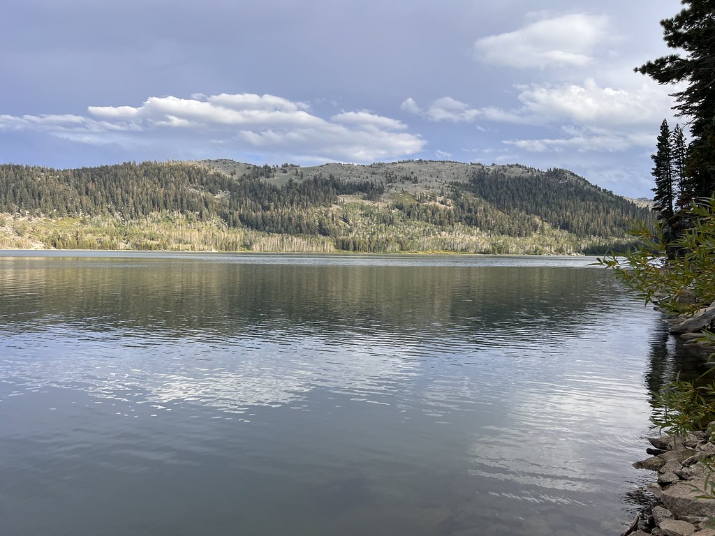 Photo: Ken Lund, CC BY-SA 2.0 (via Flickr)
Hobart Rd
~3 min drive
8.6-mile out-and-back desert road hike with open views.
 Photo: Ken Lund, CC BY-SA 2.0 (via Flickr)
North Canyon Trail
~4 min drive
Moderate out-and-back canyon hike through Nevada's scenic terrain.
Photo: Ken Lund, CC BY-SA 2.0 (via Flickr)Marlette Lake Dam Rd
~3 min drive
Easy 1.27-mile out-and-back road walk to Marlette Lake Dam.
 Photo: bensondoc, CC BY-SA 2.0 (via Flickr)
Snapdragon Trail
~3 min drive
1.01-mile out-and-back hike in Nevada with 148 ft elevation gain.
 Photo: Ken Lund, CC BY-SA 2.0 (via Flickr)
Marlette Trail or Bear Mtn
~4 min drive
6.88-mile out-and-back trail in Nevada with 1,898 ft gain.
 Photo: Šarūnas Burdulis from USA, CC BY 2.0 (via Wikimedia Commons)
Sand Harbor Paved Paths
~4 min drive
Easy paved lakeside walk with scenic Lake Tahoe views.
Photo: bensondoc, CC BY-SA 2.0 (via Flickr)Nfd 041 Trail
~4 min drive
0.99-mile out-and-back trail in Nevada with 115 ft elevation gain.
 Photo: jfdervin, CC BY-SA 2.0 (via Flickr)
Capital to Tahoe
~7 min drive
20.24-mile out-and-back trail in Nevada with 1,776 ft gain
About 2.0 mi round trip.
About 302 ft of climbing round trip.
It is rated easy.
About 1 hour round trip.
Daily highs and lows, wind and the chance of precipitation at the summit and route start for the next 7 days, from the Open-Meteo model.

