Marlette Peak Campground
Campground
Campground · 2.1 mi from the trail
 Photo: bensondoc, CC BY-SA 2.0 (via Flickr)
Closure in the area
There's a closure order in Lake Tahoe Basin Management Unit. It doesn't name Nfd 041 Trail, so check the source for the area it covers.
Harmful Algal Blooms
Agency closure covering Lake Tahoe Basin Management Unit · USFS · Lake Tahoe Basin Management Unit
Desolation Wilderness Food and Refuse Storage (Bear Canister) Restriction
Agency alert covering Lake Tahoe Basin Management Unit · Order 19-25-06 · USFS · Lake Tahoe Basin Management Unit
Meyers Landfill Area Closure
Agency alert covering Lake Tahoe Basin Management Unit · Order 19-25-01 · USFS · Lake Tahoe Basin Management Unit
Campfire Restrictions
Agency alert covering Lake Tahoe Basin Management Unit · Order 19-24-04 · USFS · Lake Tahoe Basin Management Unit
Camping/Overnight Stay Restriction
Agency alert covering Lake Tahoe Basin Management Unit · Order 19-24-05 · USFS · Lake Tahoe Basin Management Unit
As of · Source: USFS · Lake Tahoe Basin Management Unit. Agencies don't list every closure — check before you go.
Nfd 041 Trail is a moderate out-and-back hike in Lake Tahoe Nevada State Park, on the Nevada side of Lake Tahoe. The trail runs about 2 miles long, with a total elevation gain of 974 feet, and it sits within the Lake Tahoe Basin Management Unit, a national forest unit. The state manages the land, and the route starts and ends at roughly 7,400 feet, rising to about 7,950 feet at the high point. The trail is short enough to fit into a single afternoon. The steepest stretch comes early, around 0.4 miles in, with a grade of about 24 percent. That makes the first part of the climb the most demanding, and the rest of the route eases into a gentler ascent and descent. Summer is the most comfortable time to go. Typical averages from a nearby weather station in Incline Village show July and August highs around 76°F with lows near 50°F. That station sits well below the trail, so temperatures on the route run cooler. The Tahoe Rim Trail and Franktown Rd both lie about 0.1 mile away, making it easy to link this hike with a longer outing. Sand Harbor Boulder #1 and Sand Harbor are climbing areas about 2 miles off.
Marlette Peak Campground
Campground
Tunnel Creek Cafe
Restaurant
Fox Cultural Hall
Museum
Places © OpenStreetMap contributors
More in Sunnyside-Tahoe CityNot on Roamze yet. Their page has how to reach them.
Best months: May–October. Best months have typical highs of 55–85 °F, lows of 30 °F or warmer (32 °F where the station doesn't record snow), at most one snowy day and no more than 12 wet days.
Jan
41° / 24°
Feb
42° / 25°
Mar
45° / 27°
Apr
50° / 31°
May
59° / 37°
Jun
68° / 45°
Jul
76° / 50°
Aug
76° / 50°
Sep
71° / 45°
Oct
59° / 36°
Nov
50° / 30°
Dec
41° / 25°
Typical high / low (°F) and days with rain or snow, 1991–2020. Measured at Incline Village, NV, 2.8 mi away at 6,356 ft. The station sits about 1,600 ft lower than this place, so expect it a little cooler here. This station doesn't record snowfall. Source: NOAA NCEI U.S. Climate Normals 1991–2020.
Photo: bensondoc, CC BY-SA 2.0 (via Flickr)Snapdragon Trail
Next door
1.01-mile out-and-back hike in Nevada with 148 ft elevation gain.
 Photo: Seth Tisue, CC BY-SA 2.0 (via Flickr)
Memorial Point to Hidden Beach Trail
~3 min drive
Easy out-and-back descent to a secluded beach cove near Memorial Point.
 Photo: Ken Lund, CC BY-SA 2.0 (via Flickr)
Marlette Trail or Bear Mtn
~7 min drive
6.88-mile out-and-back trail in Nevada with 1,898 ft gain.
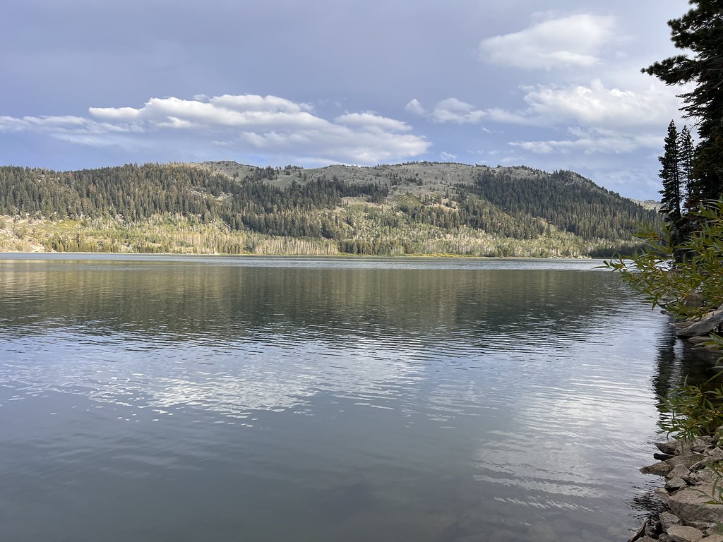 Photo: Ken Lund, CC BY-SA 2.0 (via Flickr)
Hobart Rd
~7 min drive
8.6-mile out-and-back desert road hike with open views.
 Photo: bensondoc, CC BY-SA 2.0 (via Flickr)
Red House Flume Trail
~1 min drive
2.19-mile out-and-back trail in Nevada with 1,239 ft elevation gain.
 Photo: Ken Lund from Reno, Nevada, USA, CC BY-SA 2.0 (via Wikimedia Commons)
Hidden Beach Trail System
~3 min drive
Easy out-and-back beach access trail in Nevada.
 Photo: Ken Lund from Reno, Nevada, USA, CC BY-SA 2.0 (via Wikimedia Commons)
Incline Flume Trail
~7 min drive
Historic 6-mile out-and-back Nevada trail following an old flume system.
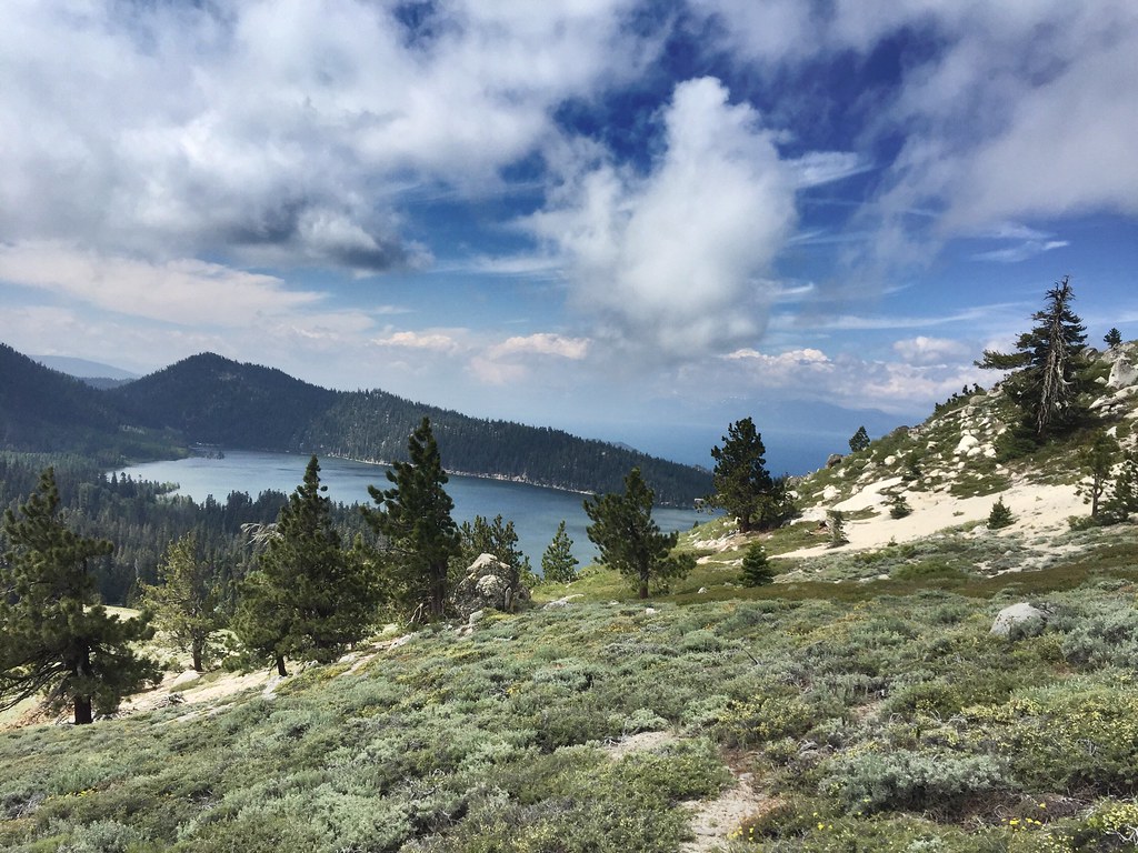 Photo: jfdervin, CC BY-SA 2.0 (via Flickr)
Sunflower Hill Trail
~4 min drive
2.65-mile out-and-back trail in Nevada with 375 ft gain and 1,221 ft loss.
 Photo: Šarūnas Burdulis from USA, CC BY 2.0 (via Wikimedia Commons)
Sand Harbor Paved Paths
~4 min drive
Easy paved lakeside walk with scenic Lake Tahoe views.
 Photo: Ken Lund, CC BY-SA 2.0 (via Flickr)
North Canyon Trail
~7 min drive
Moderate out-and-back canyon hike through Nevada's scenic terrain.
Map and trail data © OpenStreetMap contributors

